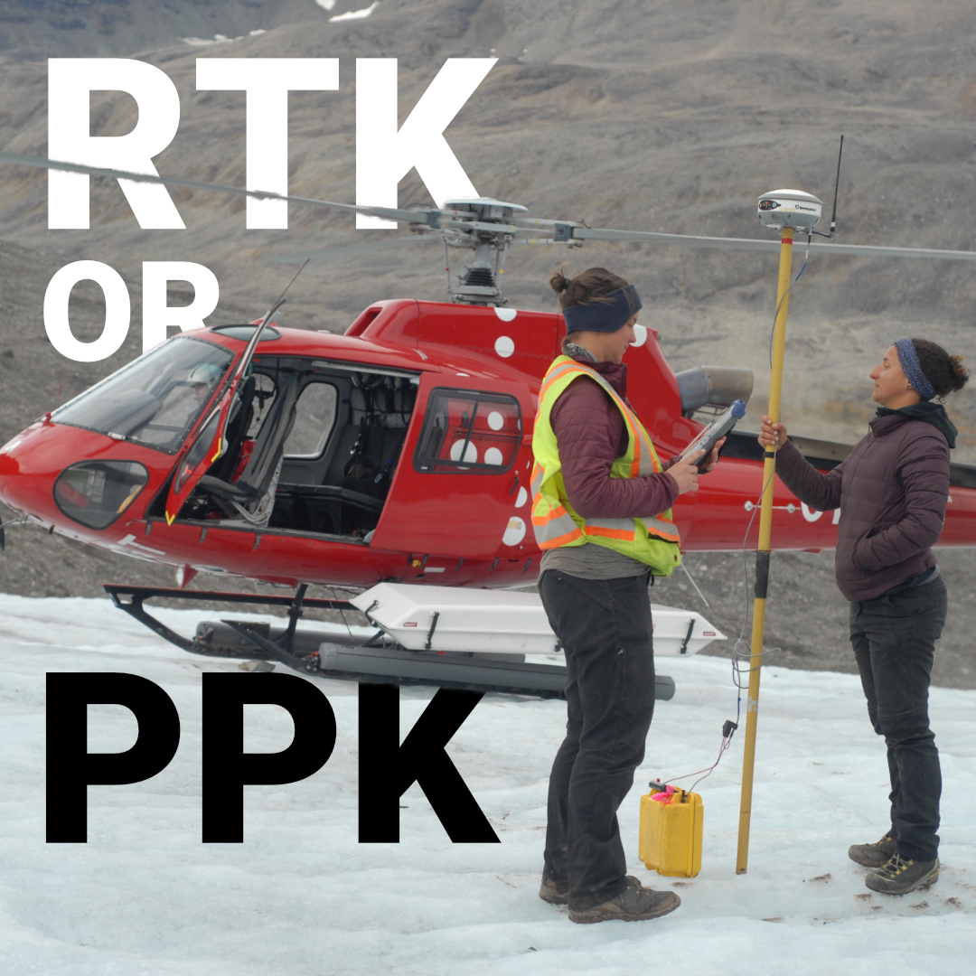
RTK vs PPK: Which GNSS Positioning Method Is Better for Surveying?
Most surveyors have argued about this at some point on a job site, usually when a radio link drops mid-traverse or a drone pilot is



Most surveyors have argued about this at some point on a job site, usually when a radio link drops mid-traverse or a drone pilot is
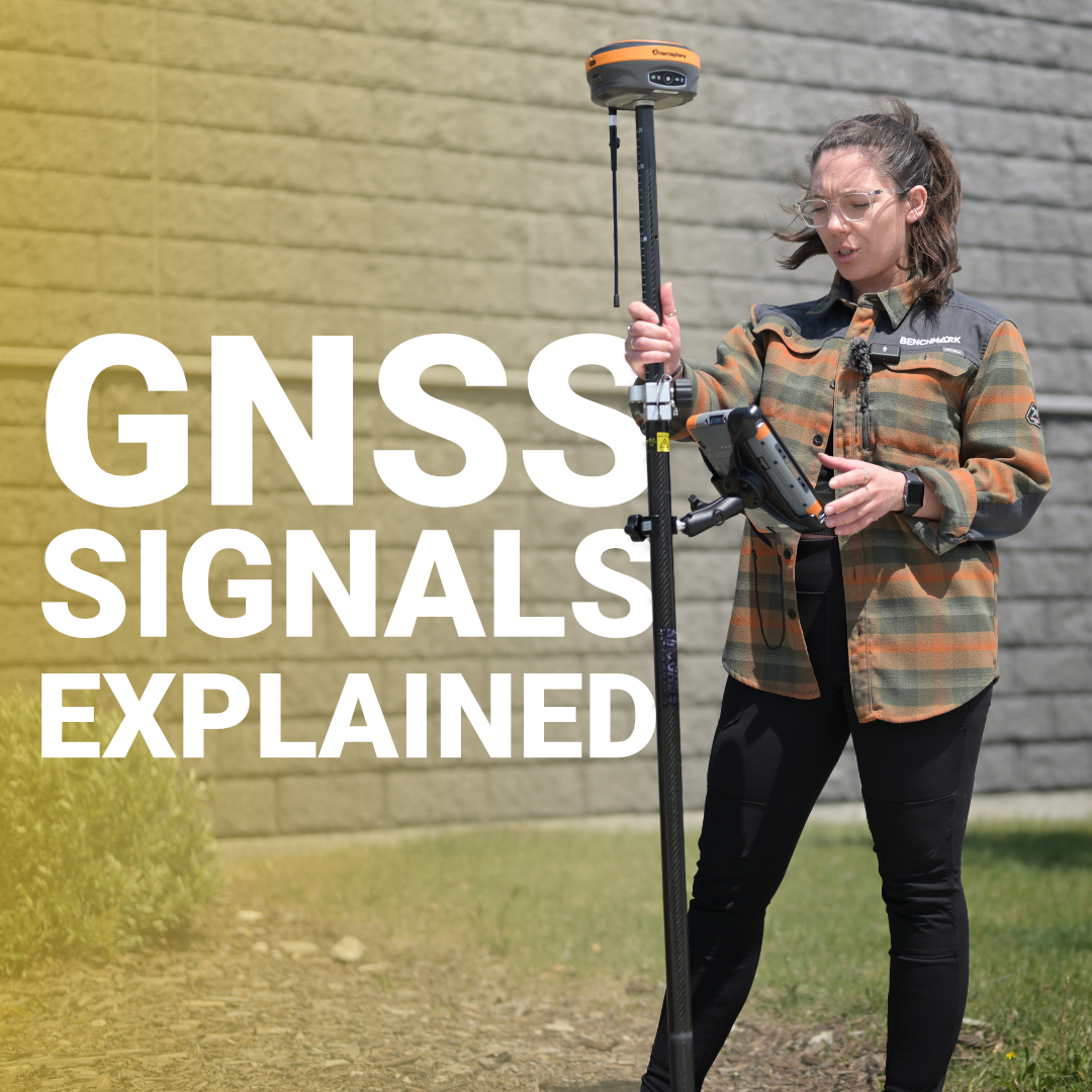
Every coordinate your GNSS receiver calculates starts with a signal traveling from space at the speed of light. That signal carries precise timing information encoded

Your rover just lost RTK fix under a bridge overpass, and your layout points are 200 feet down the roadway. GNSS can’t see satellites through
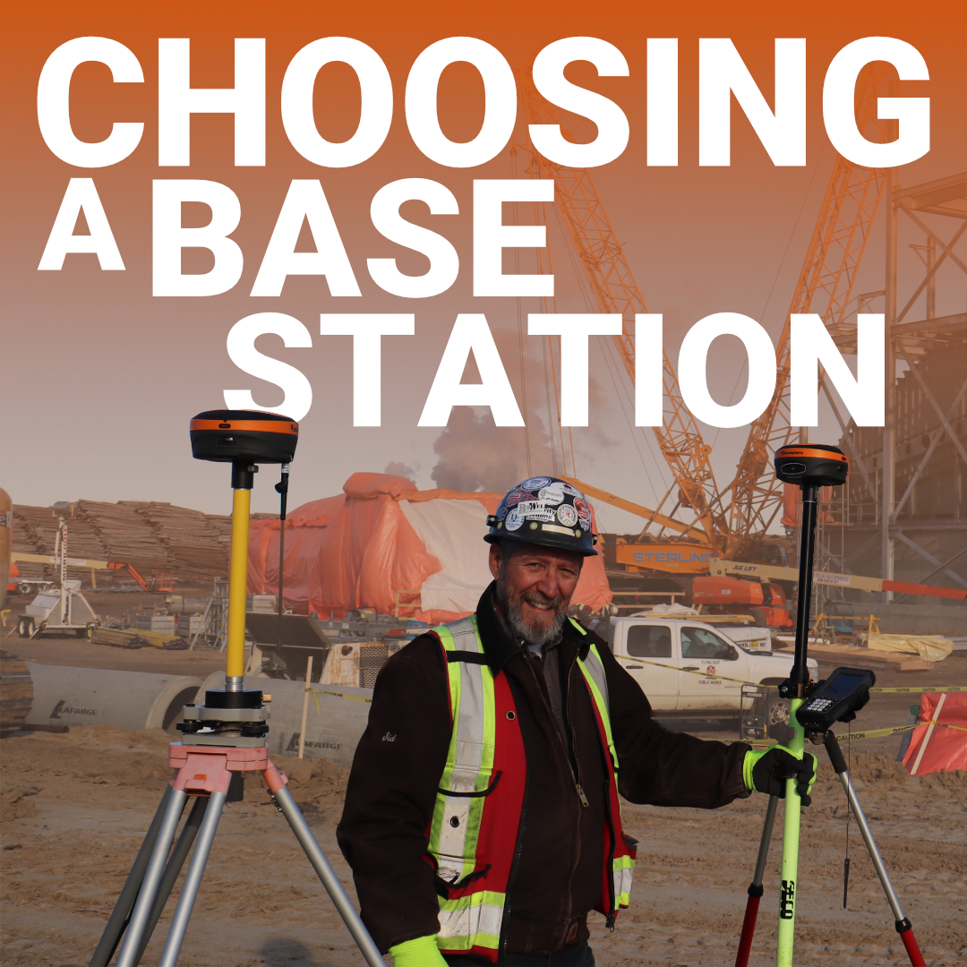
Most surveyors and contractors assume RTK base stations are heavy, expensive boxes that need truck beds and permanent mounts. That assumption costs time and limits
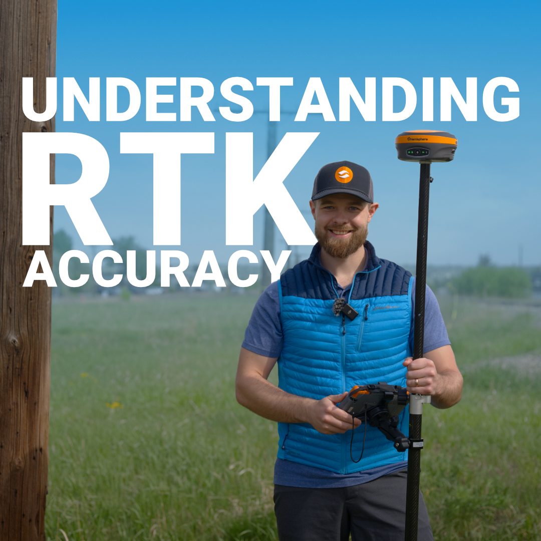
GNSS stands for Global Navigation Satellite System, and it’s the umbrella term for all satellite positioning networks. GPS is just one piece of it, the
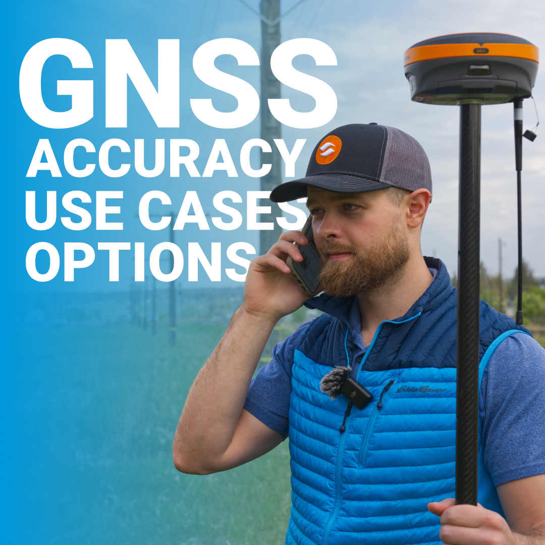
Most surveyors know GPS equipment has replaced chains and tape measures, but figuring out which GPS unit actually fits your work isn’t straightforward. The terminology
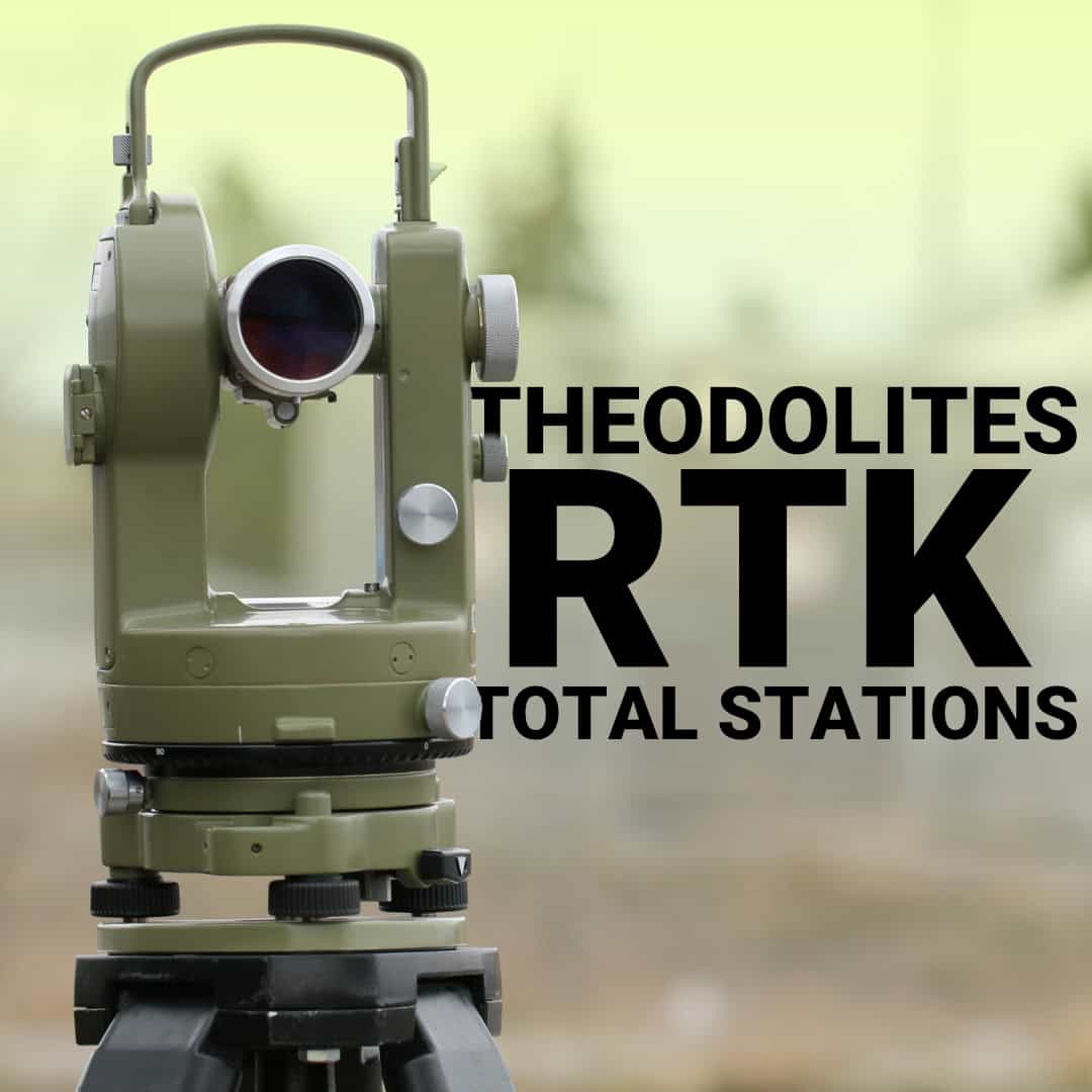
If you’ve been around surveying or construction long enough, you’ve probably heard the term surveying transit. The modern GNSS and RTK systems dominate most workflows
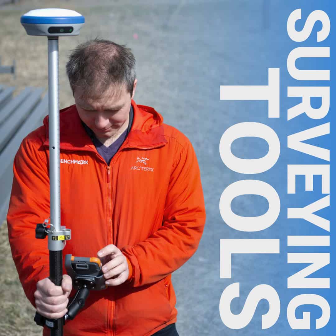
Walk onto any survey site, and you’ll see a mix of tools that haven’t changed much in decades alongside technology that didn’t exist five years

Before concrete is poured or utilities are installed, construction site surveying sets the entire project in motion. When done well, it saves time, money, and
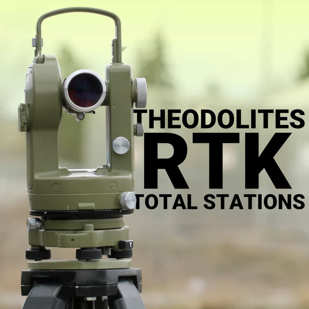
Theodolites, total stations, and GNSS receivers each have their place in modern surveying. But knowing when to reach for which tool isn’t always obvious. Read