Home > Surveying Equipment > Survey Software

Why buy from Bench Mark?
Land survey software helps surveyors collect, manage, verify, and export field data from GNSS receivers, RTK systems, total stations, and data collectors. It is used for point collection, stakeout, linework, coordinate calculations, coding, mapping, and transferring survey data to CAD or GIS software.
At Bench Mark, we supply software for surveyors and help you choose a package that fits your equipment, workflow, accuracy requirements, and project type. Options include MicroSurvey FieldGenius for field data collection, STAR*NET for survey adjustment, DJI Terra for drone mapping, and Juniper Uinta GIS for mobile GIS workflows.
Showing all 9 results
Typically, yes. Field data collection software like FieldGenius runs on your data collector to capture points and perform stakeout in real time, while office software such as MicroSurvey STAR*NET or MSCAD handles network adjustment and CAD drafting afterward. If you are working with drone or LiDAR data, DJI Terra or LiDAR 360 processes that point cloud data separately. Our team can help you figure out which combination fits your workflow.
Start with compatibility. The software should connect to your GNSS receiver, total station, and data collector over Bluetooth or cable without locking you into one manufacturer. Then check the workflow features your crews use every day, such as point coding, real-time linework, stakeout, coordinate system support, and CAD and GIS export. Finally, make sure it handles the survey types you do most, whether topographic, boundary, or construction layout.
Yes, compatibility between software and hardware is essential. Surveying software should support various file formats and work across different equipment brands, not lock you into one manufacturer. FieldGenius is one of the few packages built this way, supporting Hemisphere, Leica, Topcon, and other major brands over Bluetooth or wired connections for live data capture and instrument control.
FieldGenius is known for its intuitive interface, wide hardware compatibility, and real-time linework capabilities. It supports major equipment brands like Hemisphere, Leica, and GeoMax, making it a reliable choice for professionals who want consistent performance across multiple instrument types.
Yes. FieldGenius supports both Windows-based and Android devices. This flexibility allows surveyors to continue using legacy data collectors while upgrading software performance without replacing hardware immediately.
Yes. Every software purchase gives you access to the Bench-Mark Survey Academy, a self-paced training library with over 15 hours of content covering the platforms we sell. If you need help with something specific to your workflow, our team can also put together a customized guide.
Yes. Land survey software helps reduce rework by allowing crews to check measurements, verify points, review stakeout data, and identify potential errors before leaving the job site. This helps surveyors catch issues earlier, avoid missing data, and complete projects more efficiently.
Modern land survey software improves field efficiency by streamlining data collection, stakeout, mapping, and coordinate calculations. Advanced land survey software also supports seamless integration with GNSS receivers, total stations, CAD platforms, and GIS systems, helping surveyors reduce errors, improve accuracy, and speed up project completion in the field and office.
Core Features
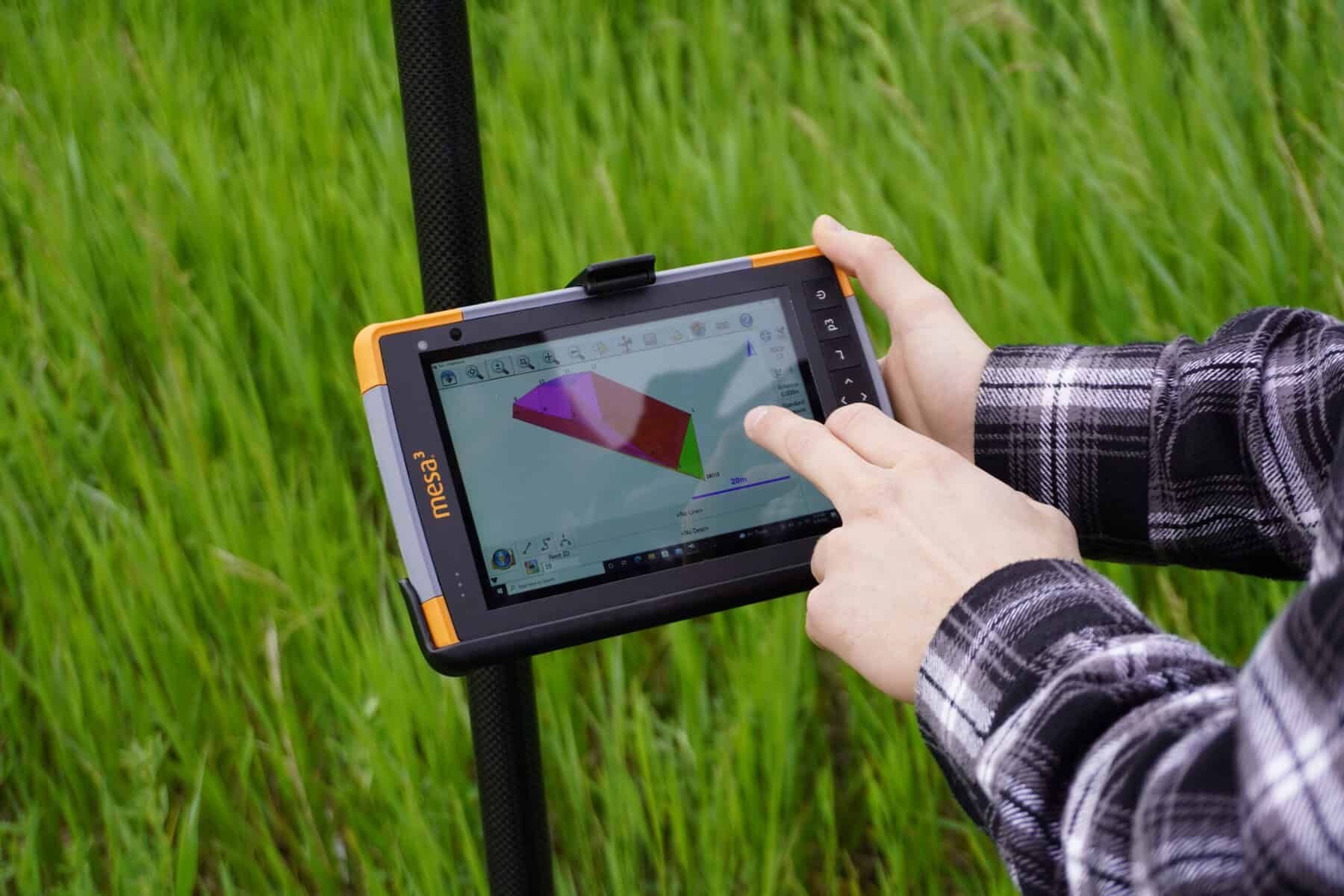
Survey field software connects field equipment with office deliverables. It helps crews measure points, create linework, perform stakeout, check measurements, manage coordinate systems, and export data for CAD, GIS, mapping, and construction workflows.
Common survey field software functions include:
9 Options, Grouped by What They Do
We carry survey software across four categories: field data collection, office processing, drone and LiDAR processing, and mobile GIS. Most survey businesses end up needing more than one, since field software and office software solve different problems.
Software | Category | Best For | Works With |
Field data collection | Point collection, stakeout, linework, real-time measurements | GNSS receivers, robotic total stations, most major hardware brands | |
Office / network adjustment | Least-squares adjustment of control networks and error checking | Field files from GNSS or total station surveys | |
Office / CAD drafting | Turning field data into finished CAD drawings and plans | Field data exported from FieldGenius or similar software | |
Drone data processing | Converting drone imagery and LiDAR scans into 3D models, orthomosaics, and point clouds | DJI Enterprise drones (Matrice series) | |
Drone-based 3D design | Editing and design work on top of drone-captured 3D models | DJI Terra outputs | |
Point cloud processing | Classifying, editing, and analyzing LiDAR point cloud data | LiDAR sensors and scanners | |
Post-processing | Processing static GNSS observation data | GNSS receivers used in static mode | |
Mobile GIS | Field GIS data collection and asset mapping | GNSS receivers and Juniper data collectors |

Additional products
MicroSurvey FieldGenius is a proven choice among software for surveyors, with more than two decades in the industry. Its brand-neutral driver policy lets it connect to Hemisphere, Leica, Topcon, GeoMax, and other major instruments over Bluetooth or a wired connection, so you can keep the equipment you already own and still get live data capture and full instrument control. We offer FieldGenius for both Windows and Android data collectors, and easy code-line work with real-time linework helps your crew catch missed shots and errors before leaving the site. Every software purchase includes access to the Bench-Mark Survey Academy for self-paced training, and our team is ready to help you choose the right version for your equipment.
Moreover, FieldGenius sets itself apart through its commitment to user empowerment. The software’s easy code-line work and brand-neutral driver policy grant surveyors the freedom to work with the instruments they’re familiar with and prefer, minimizing the learning curve. This dedication to user convenience, coupled with its robust features tailored for precision and accuracy, solidifies FieldGenius’s position as the go-to choice for professionals seeking a reliable, adaptable, and user-centric surveying software solution.
Learn at Your Own Pace
Navigating a new software can feel overwhelming, but fear not—we’ve designed the Bench-Mark Survey Academy precisely for this purpose. It’s your personalized learning space, allowing you to master the software at your own pace. With a library boasting over 15 hours of content, you have the flexibility to access it whenever suits you best, making learning new skills a breeze. Surprisingly, getting started takes just 20 minutes.
Forget about adapting to someone else’s style—our platform’s user-friendly layout empowers you to explore workflows that align with your preferences. And if you’re in search of something particular, our team stands ready to craft a customized guide tailored specifically to your needs. At Bench-Mark, we’re dedicated to making your software learning experience as seamless and personalized as possible.