

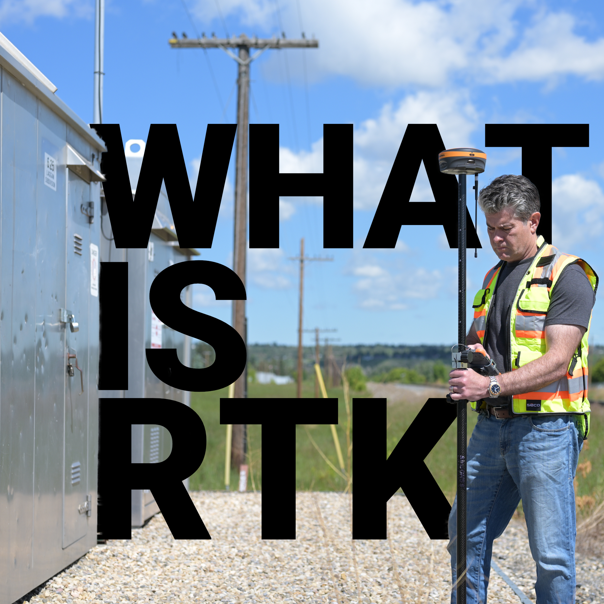
Before GPS became a household word, surveyors spent days establishing control networks just to tie a single project to a known coordinate. Today, a surveyor can walk onto a site, extend a pole, and within seconds have a position accurate to within a centimeter, anywhere on Earth. That shift happened because of RTK, a correction protocol that transformed GNSS from a navigation tool into a precision instrument. Understanding how it works, and how to get the most out of it, is what separates surveyors who struggle with their setups from those who don’t.
What Does RTK Stand for in Surveying?
How to Use RTK in Surveying
RTK Survey Equipment & GNSS Systems
Where RTK Has the Most Impact
RTK Doesn’t Leave Room for Approximation
RTK stands for Real-Time Kinematic.
Real-time means corrections are applied instantly, while you’re collecting data in the field. Kinematic refers to the fact that your receiver is moving, you’re walking a site with a rover. And kinematic positioning uses carrier-phase measurements, not just the coarse code signals that standard GPS relies on, which is what makes centimeter-level accuracy achievable at all.
In practical terms, RTK in surveying works through a two-receiver system. A base station is set up over a point with known coordinates, or is allowed to self-locate and then held fixed. That base continuously receives signals from GNSS satellites and calculates the errors in those signals caused by atmospheric distortion, satellite clock drift, and orbital inaccuracies. It then broadcasts those corrections in real time to the rover in the field. The rover applies those corrections to its own measurements and resolves its position to within 1–2 centimeters horizontally and 2–3 centimeters vertically under good conditions.
What makes this significantly different from standard GPS is the measurement technique. Consumer GPS reads pseudorange, essentially counting how long a signal takes to arrive from the satellite. RTK reads the phase of the carrier wave itself, which cycles at roughly 19 centimeters per wavelength on the L1 band. By tracking how many full cycles and what fraction of a cycle sit between the satellite and the receiver, the system can resolve positions at a fraction of that wavelength. It’s a fundamentally different level of measurement, which is why the accuracy gap between an RTK system and a phone GPS is measured not in feet, but in orders of magnitude.
One important clarification worth making: RTK is not a GPS-only technology. Modern systems operate under GNSS, which encompasses GPS (U.S.), GLONASS (Russia), Galileo (Europe), and BeiDou (China) simultaneously. Tracking all four constellations gives your rover access to far more satellites at any given moment, which shortens initialization time, maintains fix quality under partial obstructions, and improves overall reliability. At Bench-Mark, the equipment we sell, including the Hemisphere S631, is built on full multi-constellation GNSS for exactly this reason.
Setting up an RTK system correctly from the start determines everything that follows. A poorly sited base, a weak radio link, or an unchecked initialization will quietly degrade every coordinate you collect without flagging an obvious error. Here’s how a proper RTK workflow looks in practice.
Your base station should be placed on a stable, elevated position with an unobstructed view of the sky, at least 15 degrees above the horizon in all directions. If you’re setting it over a control point with published coordinates, enter those manually. If you’re using an autonomous position, understand that your survey is floating in local space until it’s tied to control. Use a tribrach and optical plumb for centering. Antenna height errors are one of the most common sources of avoidable vertical error in RTK work.
Once the base is transmitting corrections, either over UHF radio or via cellular using NTRIP, the rover will begin searching for a fixed solution. A float solution means the receiver is still resolving the integer ambiguity in the carrier phase measurement. A fixed solution means it has resolved that ambiguity and is outputting centimeter-quality positions. Never collect stakeout points or control shots on a float. Wait for fixed, check your RMS values, and confirm the solution holds before proceeding.
An increasingly common alternative to a self-deployed base is connecting directly to a Continuously Operating Reference Station (CORS) network or a virtual reference station (VRS) service. These networks provide real-time corrections over cellular, eliminating the need to set up and monitor your own base. Coverage varies by state and region, but in much of the U.S., quality network corrections are available, sometimes free through state geodetic programs, sometimes through commercial subscriptions.

Keep these practices consistent across every job:
Not all RTK receivers perform the same, and the gap between entry-level and survey-grade hardware shows up most clearly in challenging environments, under tree canopy, near buildings, or in corridors with limited sky view.
Survey-grade systems like the Hemisphere S631, which is the core of what Bench-Mark builds its solutions around, track all major GNSS constellations across multiple frequencies (L1, L2, L5) and use full carrier-phase processing to achieve the kind of accuracy professional land surveyors and civil engineers depend on. Lower-cost receivers, including the consumer-grade units that have become more prevalent in recent years, often track fewer signals, use less sophisticated ambiguity resolution, and degrade significantly when conditions are less than ideal.
Key equipment considerations for RTK Survey Equipment & GNSS Systems:
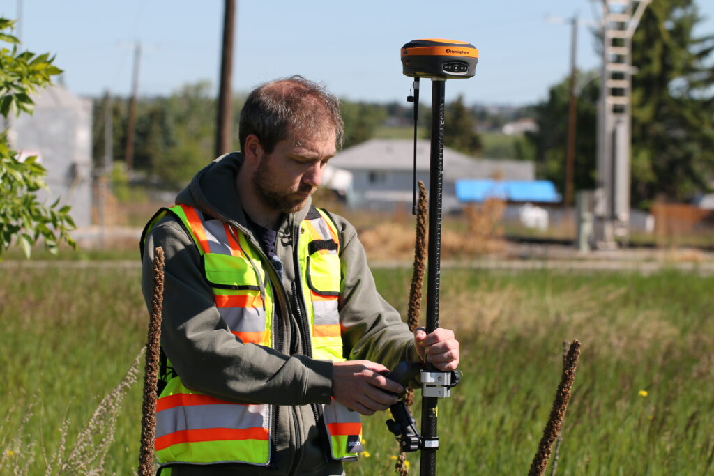
RTK surveying has become the default method across land surveying and civil engineering for good reason, it cuts field time dramatically compared to optical-only workflows and delivers coordinate accuracy that static GPS methods require hours to achieve. The range of applications is broad.
In land surveying, RTK is used for boundary surveys, topographic mapping, control densification, and as-built verification. In land development and construction, it powers machine control systems, grade checking, and stakeout for roads, utilities, and structures. In engineering applications, monitoring, environmental, rail, and mining, RTK provides the real-time spatial data that feeds into broader project control networks.
The technology performs best in open terrain with clear sky visibility. Signal obstructions from dense tree cover, steep topography, or urban structures can affect fix quality and reliability. In those environments, equipment that tracks more constellations and frequencies gives you the best chance of maintaining a solid fix.
The reason RTK has become the standard in professional surveying is that it’s fast and accurate in a way that actually matches the legal and technical requirements of the work. A boundary survey, a construction stakeout, a control network: these aren’t tasks where “close enough” holds up. RTK, set up and operated correctly, gives you coordinates you can stand behind.
At Bench-Mark, we work with surveyors and engineers across the U.S. to match the right RTK system to the job, whether that’s a flagship setup built around the Hemisphere S631 or a more targeted solution for a specific application. If you’re evaluating RTK equipment or trying to get more out of a system you already have, we’re the team to talk to.
