

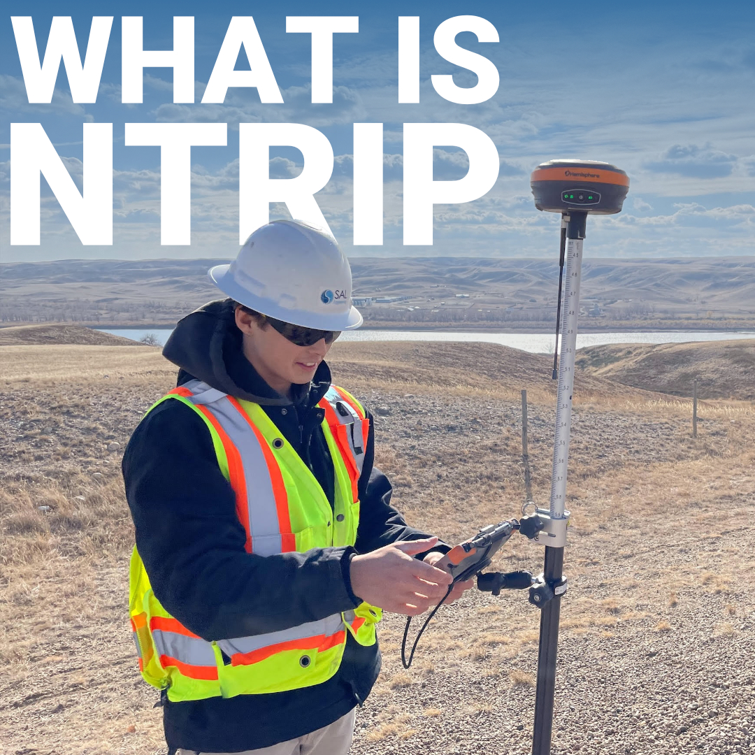
Every RTK receiver kit used to ship in pairs. One receiver went on the base, one went on the rover, and the accuracy of your work depended entirely on keeping those two units in communication across the site. The base wasn’t optional, it was the whole point. So when surveyors started showing up on job sites with a single receiver and collecting centimeter-level data anyway, it raised a reasonable question: where are the corrections coming from?
The answer is a protocol most people use daily without knowing its name. NTRIP quietly replaced the physical base station with a network connection, and it did it so cleanly that most users never think about the infrastructure running in the background every time they initialize a fix.
The Three Components of an NTRIP Network
What Is VRS and Why It Matters
NTRIP vs. a Local Base Station
Connecting to an NTRIP Network in the U.S.
What Affects NTRIP Performance in the Field
Stop Leaving Accuracy on the Table
NTRIP stands for Networked Transport of RTCM via Internet Protocol. It was developed in 2004 by the German Federal Agency for Cartography and Geodesy and has since become the global standard for delivering RTK correction data over the internet.
It’s important to understand what NTRIP is and isn’t. It’s a delivery protocol, a defined set of rules for how correction data gets packaged, transmitted, and received. It doesn’t generate corrections itself. Instead, it provides the pipeline that moves those corrections from a fixed reference station to your rover in the field, in real time, over a cellular data connection. The correction data it carries is formatted in RTCM, Radio Technical Commission for Maritime, a standard message format that encodes the satellite observation errors measured at the reference station. Your rover receives those messages, compares them against what it’s tracking from the same satellites, and resolves its position to centimeter-level accuracy.

Understanding how NTRIP RTK works is easier when you break it into its three functional parts:
A fixed reference station at a precisely known position that continuously tracks satellites and streams RTCM correction data. In the U.S., this is most commonly a Continuously Operating Reference Station operated by a state DOT, NOAA’s National Geodetic Survey, or a private correction network.
The server that receives the correction stream from the base and rebroadcasts it over the internet. Clients connect to the caster to access available correction streams, each identified by a mount point name. Think of it as the switchboard between the reference stations and the field.
Your RTK receiver in the field. It connects to the caster over cellular data using credentials, a server address, port number, mount point, username, and password, pulls the correction stream, and applies it in real time.
When everything is working, the latency between the base station observing an error and your rover correcting for it is typically under two seconds, fast enough to support centimeter RTK positioning while you’re actively moving across the site.
If you’ve connected to a state correction network in the U.S., you’ve likely seen mount points labeled VRS. Virtual Reference Station technology is worth understanding because it directly affects fix quality on longer baselines.
Standard RTK accuracy degrades as the distance between your rover and the physical reference station grows. Atmospheric errors, orbital errors, and signal geometry all vary with distance, and those differences become harder to model cleanly when your baseline stretches past 20–30 kilometers.
VRS solves this by generating a synthetic reference station close to your actual position. The network’s processing software combines observations from multiple physical CORS stations to model what a base station right next to you would have seen. Your rover receives corrections as if the reference were just a few kilometers away, even if the nearest physical station is 60 or 70 km out. For survey crews working in states with well-developed CORS networks, VRS routinely produces fix quality that’s indistinguishable from running your own base station nearby.
Both approaches deliver RTK corrections. The practical differences come down to what the job requires and what tradeoffs you’re willing to manage.
A local base setup gives you full independence. No cell coverage required, no subscription fees, no reliance on third-party infrastructure staying online. It’s the right call for remote sites where network coverage is unreliable, or when you need to tie into a local control network with specific datum requirements.
NTRIP, on the other hand, eliminates the second piece of hardware entirely. You arrive with just a rover, connect to the network, and you’re collecting data. For most U.S. survey crews operating in areas with solid LTE coverage, NTRIP is faster to deploy and removes the logistical overhead of managing and transporting a base station. At Bench-Mark, we regularly see customers transition to NTRIP-first workflows once they understand how mature and reliable U.S. correction networks have become, particularly in states with dense DOT CORS infrastructure.
The limitation is real, though. Lose your data connection and you lose your corrections. In areas with patchy coverage, steep terrain, dense canopy, rural basins, that’s not a theoretical risk. It shapes how you plan the job from the start.

Getting set up for the first time is straightforward once you’ve walked through it once:
Even on a properly configured system, a few real-world variables determine how reliably your NTRIP corrections perform:

For most survey operations across the U.S. today, NTRIP isn’t a workaround or a backup plan, it’s the primary workflow. The infrastructure behind it has matured to the point where state and federal CORS networks cover the vast majority of the country’s developed areas, and a well-configured NTRIP connection delivers accuracy that fully holds up to professional survey standards.
Understanding what’s actually happening behind that connection, what the caster does, how VRS eliminates baseline error, what drives fix stability, makes you better equipped to troubleshoot when something goes wrong and smarter about choosing the right correction source for each job. If you’re evaluating RTK equipment and want to understand how NTRIP fits into the full system before you commit, the team at Bench-Mark can walk you through receiver configuration and network compatibility in detail. A receiver that can’t connect reliably to corrections isn’t working at full potential, and neither is the crew behind it.
