

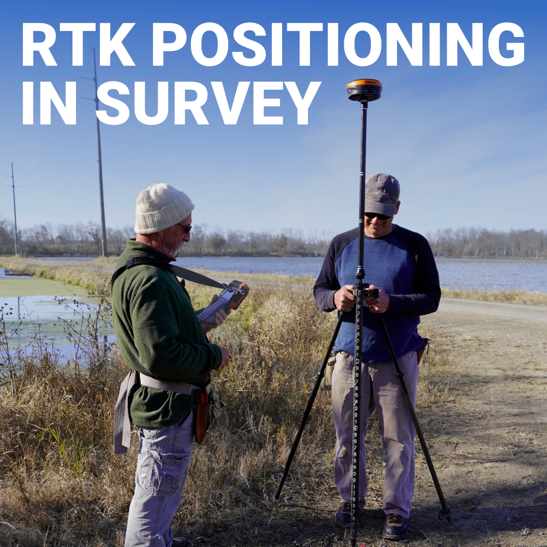
Before GPS existed, surveyors spent days establishing control networks just to get a handful of reliable points. Today, an RTK GPS system can deliver those same centimeter-level coordinates in seconds, while you’re moving. That leap didn’t happen because satellites got better. It happened because engineers figured out how to strip the error out of the signal in real time, turning a technology that was never designed for precision into one of the most powerful tools in the surveying industry.
RTK GPS Meaning: More Than Just “Accurate GPS”
How Does RTK GPS Work in Practice?
Where RTK GPS Is Used in the Field
What Affects RTK Accuracy in the Field
Precision Is the Starting Point
RTK GPS meaning comes down to what the acronym actually describes: Real-Time Kinematic. Real-time means the corrections happen instantly, not back in the office after the job is done. Kinematic means the receiver can be moving and still deliver precision. And GPS, in professional practice, is almost always GNSS, tracking not just U.S. GPS satellites, but also GLONASS, Galileo, and BeiDou simultaneously.
The distinction matters because standard GPS, including the chip in your phone or a basic handheld unit, is accurate to somewhere between 2 and 5 meters under normal conditions. That’s fine for turn-by-turn navigation. It’s nowhere near enough for setting property corners, staking construction grades, or collecting survey-grade control points. RTK GPS closes that gap by correcting the satellite signal errors that cause that drift, bringing horizontal accuracy down to 1–2 centimeters and vertical accuracy to roughly 2–4 centimeters.
This is why RTK has become the standard across land surveying, civil engineering, land development, and environmental monitoring. It’s a fundamentally different approach to positioning.
What is RTK GPS at its core? It’s a positioning technique built around a simple insight: two receivers observing the same satellites at the same time experience nearly identical errors. If one of those receivers is sitting on a known point, it can calculate what those errors are and send corrections to the other receiver in real time.
That stationary receiver is the base station. The moving receiver, the one a surveyor carries in the field, is the rover. Together, they form an RTK system.
The base station continuously receives satellite signals and compares what it’s receiving against its known, fixed position. Any difference between where the satellites say it is and where it actually is represents error, atmospheric distortion, satellite clock drift, orbit inaccuracies. The base packages those corrections and transmits them to the rover, which applies them to its own satellite data in real time.
The result is a rover that knows where it is to within centimeters, even while moving across a site.
What separates RTK from older differential GPS techniques is how it measures the satellite signal. Basic differential GPS corrects the code phase, the coarse timing of a digital signal embedded in the broadcast. RTK goes deeper, measuring the phase of the carrier wave itself. That carrier wave has a wavelength of roughly 19 centimeters, so measuring its phase gives the receiver data roughly 100 times more precise than code-phase alone. The challenge is figuring out how many complete carrier-wave cycles exist between the satellite and the receiver, a process called integer ambiguity resolution. Once that’s solved, the position locks in. On your receiver display, that moment shows up as RTK FIX.
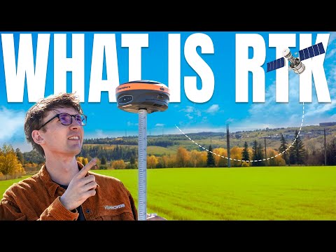
How does RTK GPS work when you’re actually running a job? The process is straightforward once you understand the moving parts.
The base station is set up over a known control point, a monument with established coordinates, a NGS benchmark, or a point you’ve previously tied to the coordinate system. It begins tracking satellites and broadcasting corrections. Those corrections travel to the rover via radio link, cellular data connection, or through an NTRIP service, which delivers corrections from a network of permanent reference stations over the internet.
The rover receives those corrections and applies them continuously as it tracks satellites. When conditions are good, open sky, strong signal, short baseline to the base, it achieves FIX status within seconds. The rover then delivers reliable, centimeter-accurate positions for every point you collect.
The correction link is often where jobs run into trouble in the field. Radio links are reliable and don’t depend on cell coverage, but range is limited by terrain and line of sight. NTRIP via cellular data can extend your effective range significantly and removes the need to run your own base, but it requires network coverage. Many surveyors working across the U.S. use a combination of both, switching based on site conditions.
There are three states you’ll see on your rover throughout the day:
For any survey-grade work, you need FIX. Collecting points in FLOAT or SINGLE and treating them as accurate is one of the most common errors newer RTK users make.
RTK GPS has become standard across a wide range of industries because centimeter accuracy in real time solves real problems that no other approach can match at the same speed:
The common thread is that all of these applications require knowing exactly where something is, and needing that answer now.
Understanding RTK’s limits is just as important as understanding how it works. Even a well-configured system can underperform if conditions work against it:
Baseline length matters. The farther the rover gets from the base station, the more the atmosphere between them diverges, degrading the quality of the corrections. Single-frequency setups start to struggle beyond about 20 kilometers. Multi-frequency receivers like the Hemisphere S631 handle longer baselines significantly better.
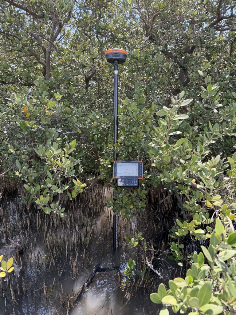
Sky obstructions directly affect fix quality. Heavy tree canopy, deep urban corridors, or working near large structures limits the number of satellites in view and can cause the receiver to drop out of FIX entirely.
Multipath is a persistent challenge near reflective surfaces, metal buildings, water, vehicles parked nearby. The receiver picks up reflected signals alongside direct ones, and the confusion degrades accuracy.
Base station setup is where absolute accuracy is determined. RTK gives you centimeter accuracy relative to your base. If the base is set over a point with poor coordinates, the whole survey inherits that offset. The internal precision is still there, every point is centimeters from where it should be relative to the others, but the dataset as a whole can be shifted. Tying into published control points or a verified NGS monument solves this.

RTK GPS changed what’s possible in the field. A two-person crew can accomplish in a morning what used to take a full day of conventional traversing, and they can do it with an accuracy that rivals or exceeds traditional methods when the system is set up correctly. But the technology is only as good as the person running it. Understanding what FIX actually means, how your correction link works, and where your base coordinates come from separates surveyors who consistently get reliable data from those who don’t.
Bench-Mark works with land surveyors and civil engineering teams across the U.S. to match them with RTK systems built for real field conditions. Reach out to our team and let’s talk about what your work actually requires.
