


Architects design what a building will look like. Engineers calculate how it will stand. But before either of those conversations can happen, someone has to establish a far more fundamental set of facts: where the property actually ends, how the ground actually sits, and what rights are already attached to the land. That work belongs to the land surveyor, and without it, every plan drawn and every permit filed is built on assumption rather than evidence.
What Is Land Surveying?
How Does Land Surveying Work?
Types of Land Surveying
Land Surveying Techniques
Why Accurate Equipment Changes Everything in the Field
The Profession That Keeps U.S. Projects Legal, Accurate, and Buildable
Land surveying is the science of measuring and mapping the Earth’s surface to establish positions, distances, elevations, angles, and boundaries with legal and technical precision. It’s not just measurement for measurement’s sake. A survey translates physical terrain into verified, legally defensible data that property owners, engineers, attorneys, and contractors can actually use.
In the United States, land surveyors are licensed professionals operating under state authority. That’s significant. When a licensed surveyor sets a boundary, it carries legal weight. It can be used in title work, referenced in deeds, entered as evidence in court, and relied upon by lenders and insurers. A survey doesn’t just tell you where things are. It protects your right to act on that information.
At Bench-Mark, we work with surveyors across the U.S. who depend on that kind of precision daily, and we understand that the tools behind a survey are just as important as the professional running them.
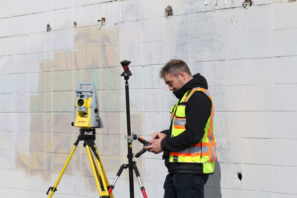
The process combines office research with field measurement, and both halves matter equally. Before a crew ever steps on site, a surveyor reviews deeds, recorded plats, prior surveys, easements, and public land records to understand what the legal documentation says about the parcel. That research shapes what they’re looking for in the field.
On site, surveyors locate existing monuments and control points, measure distances and angles, and collect elevation data using a combination of instruments. The field data is then processed and compared against the documentary evidence to produce a final product, whether that’s a plat, a boundary map, a topographic survey, or a set of staked construction points.
The reason this dual approach matters is that physical evidence and legal records don’t always agree. Monuments get disturbed. Deeds contain ambiguous descriptions. Neighboring parcels were surveyed decades apart under different standards. Part of the surveyor’s job is to resolve those conflicts using professional judgment and established legal principles, which is why a good survey is part science and part investigation.
Different projects call for different survey types, and choosing the wrong one is a common and avoidable mistake.
Understanding which type you need before engaging a surveyor saves time and scoping back-and-forth. If you’re buying a commercial property, you likely need an ALTA. If you’re grading a site, you need a topo. If you’re building a retaining wall near a property line, start with a boundary survey.
Modern surveying draws on a mix of traditional fieldwork and advanced positioning technology. The methods have evolved significantly, but the goal remains the same: collect accurate spatial data that holds up under scrutiny.
Conventional total station surveying is still widely used for boundary work and construction layout. Total stations measure angles and distances electronically, allowing crews to calculate precise coordinates from known reference points. For many boundary surveys and construction staking jobs, a total station paired with a skilled crew remains the most reliable option.
GNSS and RTK surveying have become central to the profession over the past two decades. RTK (Real Time Kinematic) systems use satellite positioning to deliver centimeter-level accuracy in real time, making them well-suited for topographic surveys, control establishment, and open-site construction work. The quality of the receiver matters significantly here.
For larger sites or complex documentation needs, drone-based photogrammetry and LiDAR scanning have changed what’s possible in a single field mobilization. A drone can capture thousands of data points across a large site in hours, while terrestrial LiDAR scanners produce dense point clouds of structures, earthwork, and terrain. These methods are increasingly connected to GIS and BIM platforms, allowing survey data to flow directly into design and construction workflows.
The right technique depends on accuracy requirements, site conditions, deliverable type, and project schedule. Many modern surveys combine methods, using GNSS for control and conventional or scanning methods for detail.
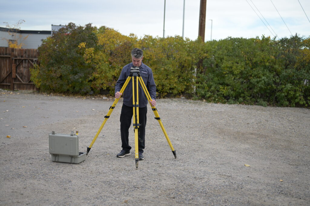
Survey results are only as good as the instruments used to collect them. An RTK receiver that struggles to maintain fix under tree canopy, near structures, or in low-satellite windows introduces error that no amount of office processing can fully correct. That’s why professional surveyors are deliberate about their hardware, not just their methods.
The shift toward multi-constellation GNSS receivers, systems that track GPS, GLONASS, Galileo, and BeiDou simultaneously, has meaningfully improved field performance in challenging environments. More available satellites means faster initialization, more stable fix quality, and better performance in partially obstructed conditions. For U.S. projects where surveyors routinely work near tree lines, in urban corridors, or on terrain with significant relief, that matters.
Bench-Mark supplies and supports RTK equipment specifically for professional survey applications, and we see firsthand how much the right system changes day-to-day field productivity and result quality.
Land surveying isn’t a preliminary checkbox. It’s the factual foundation that makes everything else possible: the design, the permits, the construction, the sale. When survey data is solid, projects move forward on accurate information. When it’s missing or done poorly, the consequences show up later in the form of disputes, delays, and do-overs that are far more expensive than a proper survey would have been. For U.S. surveying and construction professionals who need equipment that keeps pace with the precision the work demands, that foundation starts with the right tools in the field.
