Home > Surveying Equipment > RTK Survey Equipment
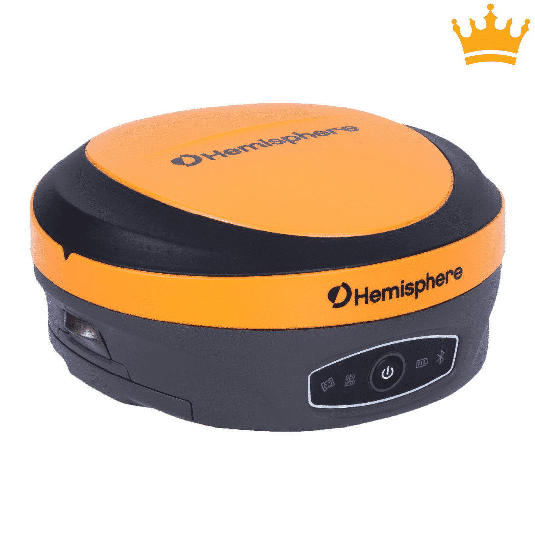
The Hemisphere S631 is our top-selling RTK GNSS receiver, delivering reliable centimeter-level accuracy for surveyors, contractors, and mapping professionals. With multi-constellation GNSS support, strong signal tracking, and a rugged field-ready design, the S631 is built to perform in demanding jobsite conditions while keeping setup simple and efficient.

Why trust Bench Mark
At Bench Mark, we are proud to be the USA’s top supplier of RTK survey equipment for the past 15 years. We provide an outstanding range of products at outstanding prices as well as comprehensive after-sales service. Our extensive and in-depth knowledge of RTK GPS systems and GNSS receivers, coupled with our all-inclusive customer service and technical support, is why industries throughout the USA come to us for our products and service.
Our priority is to maximize the potential of your RTK systems so that you can thrive. When you contact us, you’ll speak directly to one of our representatives, not an automated machine. We can assist you with advice, support, and troubleshooting, and we will make sure your system is running as efficiently as possible.
Showing all 16 results








A professional RTK GNSS receiver can achieve relative accuracy of approximately 0.8 cm ± 1 ppm horizontally and 1.5 cm ± 1 ppm vertically under normal survey conditions. When measurements are tied to established control points or monuments, this precision can be converted into reliable absolute positioning for surveying applications.
Yes. RTK (Real-Time Kinematic) positioning requires a base station to transmit correction data to the rover receiver. The base provides a known coordinate reference, which enables the rover to calculate highly accurate positions – often within a centimeter. Some setups also use network RTK services to eliminate the need for a physical base.
It depends on your site. A radio link between your own base and rover works anywhere, including areas with no cell coverage, but range is limited by terrain, obstructions, and radio power. A cellular NTRIP connection removes the need to set up a base and can use network RTK or a cloud-based service such as StormCaster, but it requires reliable cell coverage at the job site. Many crews use cellular corrections for everyday work and keep a base and radio for remote projects. Our team can help you choose the setup that fits your sites.
An RTK GPS system can range from around 4–6 km in the city with no line of sight. However, the range can be boosted by the use of a 35W radio kit or StormCaster. All our RTK GPS systems are tested to this specification to guarantee performance in the field.
With the Hemisphere S631 GNSS receiver, you can get 20-25 cm in X & Y in DGPS mode with just one WAAS satellite. In L-Band mode via Hemisphere Atlas global correction service, you can achieve 4-8 cm in X & Y without being in RTK mode.
Yes. Modern GNSS receivers can track GPS, GLONASS, Galileo, BeiDou, and QZSS constellations, ensuring reliable performance worldwide.
An RTK GPS module contains the core positioning technology but lacks the rugged housing, batteries, radios, and user interface of a receiver. It’s meant to be integrated into custom systems or OEM devices, while full RTK receivers are turnkey solutions ready for field deployment.
RTK systems maintain high positioning accuracy by using multi-constellation GNSS support, advanced signal tracking, and real-time correction data from a base station or network. In environments with trees, buildings, or terrain obstructions, modern RTK GNSS receivers can continue delivering stable centimeter-level positioning by accessing multiple satellite constellations such as GPS, GLONASS, Galileo, and BeiDou.
Reliable equipment for modern field workflows
We offer professional RTK surveying equipment for land surveying, construction layout, GIS mapping, utility work, and machine control applications. Our selection includes modern GNSS receivers and RTK GPS systems designed for reliable positioning accuracy and efficient daily field use.
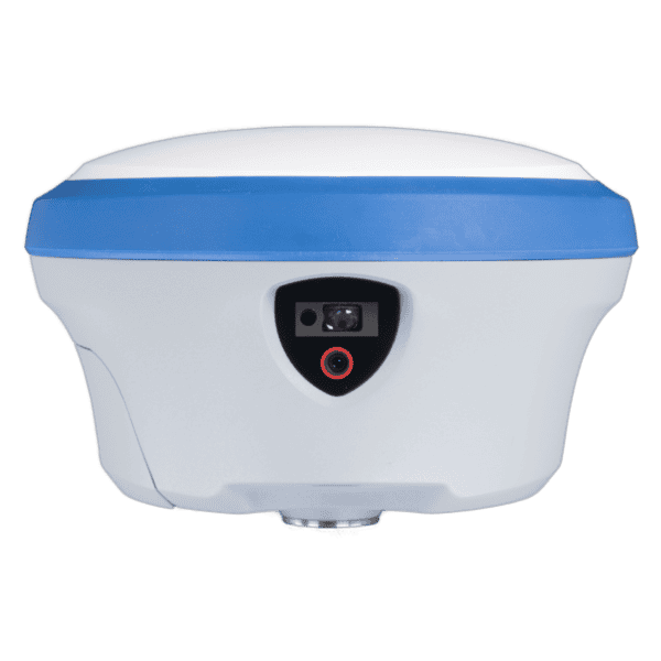
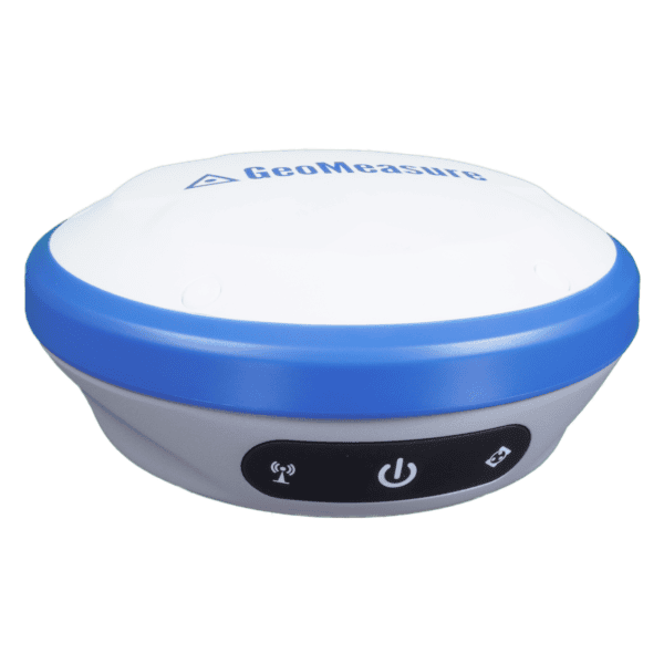
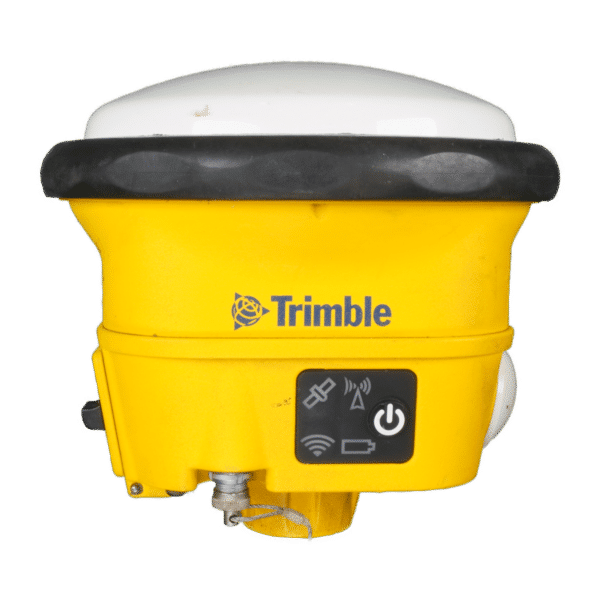
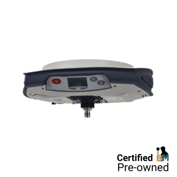
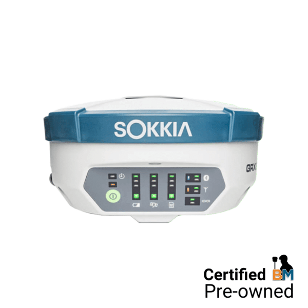
From compact solutions like the GeoMeasure Nano 7 RTK and Trimble R10 to advanced RTK GNSS receivers such as the Hemisphere S631, modern equipment helps survey crews improve productivity and maintain consistent results in demanding environments. Features such as multi-constellation satellite tracking, tilt compensation, and fast initialization support accurate data collection across a wide range of surveying projects.
We supply both new and certified pre-owned RTK GPS systems from trusted manufacturers, helping field crews choose equipment that fits their workflow, accuracy requirements, and budget.

New Flagship Systems to Certified Pre-Owned, by Brand
With 16 systems across multiple brands and both new and used conditions, the fastest way to narrow it down is by what you’re already standardized on and how much you want to spend. Each name links to the full product page.
System | Condition | Best For |
New | Best overall accuracy and canopy performance, our top seller | |
New | Construction and machine control workflows (dozer, excavator, grading) | |
New | Budget-friendly entry point into RTK | |
New | Construction layout needing laser measurement and AR stakeout | |
Used | Staying within the Hemisphere ecosystem at a lower cost | |
Used Trimble R10 / AG342 / SPS986 / 5800 | Used | Crews already standardized on Trimble software and workflows |
Used | Crews already standardized on Topcon workflows | |
Used | Lowest-cost entry into survey-grade RTK |
Built for accurate and efficient field work
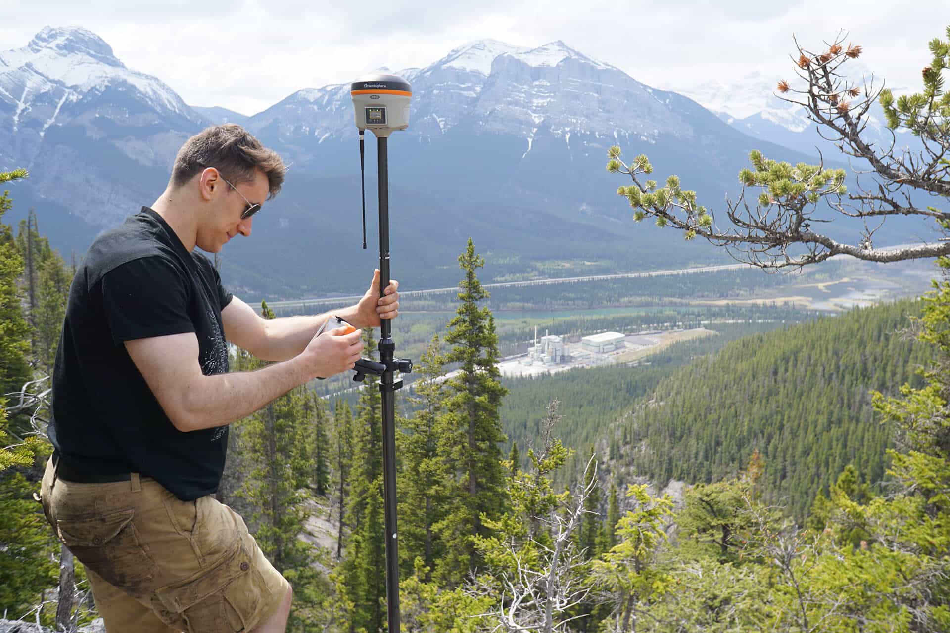
We supply RTK survey equipment for surveying, GIS, construction, and positioning applications across North America. Our selection includes GNSS receivers, RTK base and rover setups, antennas, controllers, and complete field-ready systems designed for accurate and efficient workflows.
Whether you need an entry-level RTK GPS system for field mapping or a high-precision GNSS solution for professional surveying projects, we can help you select the right equipment for your application. We offer both new and certified pre-owned systems from trusted manufacturers, including popular RTK solutions from Hemisphere, GeoMeasure, and Trimble.
We also provide technical support, setup assistance, and guidance with corrections and software integration to help keep your field operations running smoothly.