

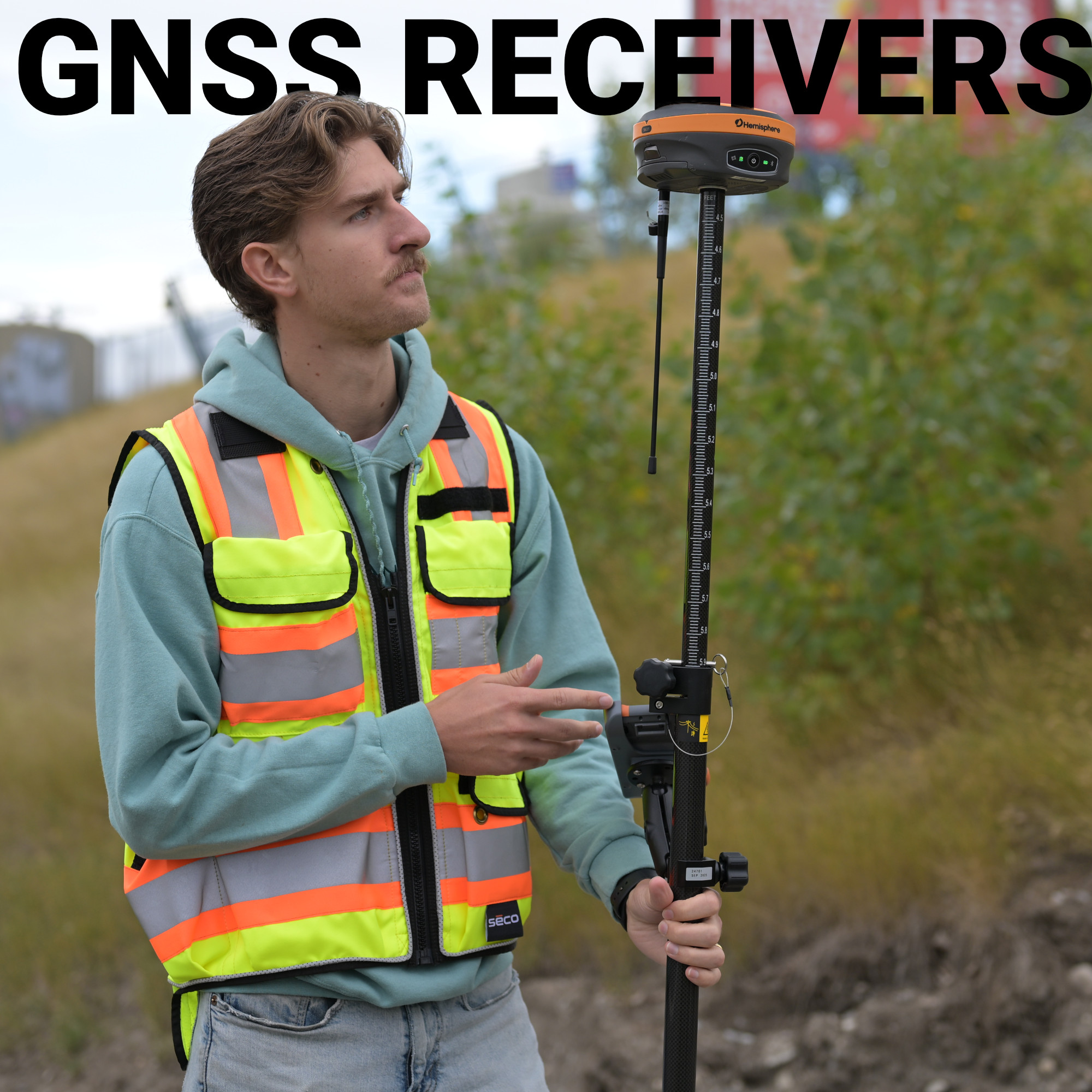
Satellite signals reach Earth after travelling roughly 20,000 kilometres through the atmosphere, arriving at your antenna weaker than the hum of a microwave oven. What happens in the next few milliseconds determines whether your rod shot lands within a centimetre or wanders by several metres. That component is the GNSS receiver, and understanding it is the difference between choosing a tool and understanding why it works.
What Is a GNSS Receiver?
GNSS Receiver vs. GPS: Why the Distinction Matters
How Frequency Bands Define Your Accuracy Ceiling
Types of GNSS Receivers for Surveying
Accuracy Levels: What Correction Method Delivers What Result
Choosing the Right GNSS Receiver for Your Work
A GNSS receiver is a device that acquires signals from orbiting navigation satellites, measures the travel time of each signal, and uses that data to calculate a precise position. The term GNSS (Global Navigation Satellite System) covers every major satellite constellation in operation: GPS (United States), GLONASS (Russia), Galileo (Europe), and BeiDou (China). A receiver that tracks all of these simultaneously has access to upwards of 100 satellites at any given moment, which is a fundamentally different capability than the GPS-only chips of even fifteen years ago.
The core process works through trilateration. The receiver times the signal from at least four satellites, converts those time delays into distances called pseudoranges, and solves for its own position in three dimensions while simultaneously correcting for its internal clock error. Modern professional receivers do this across multiple frequency bands (L1, L2, and increasingly L5) processing hundreds of channels at once. The result of all that computation, without any correction input, is typically one to three metres of accuracy. Good for navigation, not good enough for a property boundary or a control point.

A GPS receiver tracks only the American GPS constellation. A GNSS receiver tracks all available constellations simultaneously. In practice, this means a GNSS receiver sees far more satellites at any given time, which directly improves the geometry of the position solution, a value expressed technically as PDOP, or Position Dilution of Precision. Lower PDOP means more reliable, more accurate results.
The real-world consequence matters most in the environments American surveyors regularly encounter: dense Pacific Northwest timber, the deep urban canyons of coastal cities, open desert flats where atmospheric distortion dominates, and Gulf Coast sites where heat and humidity compound signal error. When your line of sight to part of the sky is blocked, a GNSS receiver draws on whichever satellites remain visible across multiple constellations. A GPS-only receiver simply loses that coverage.

The accuracy of a GNSS receiver is determined less by the brand on the case than by how it measures distance to satellites. There are two fundamentally different measurement types:
Code-phase measurements correlate a pattern broadcast by the satellite against a replica generated by the receiver. This is unambiguous but the measurement resolution is limited to roughly one to three metres because the signal codes are relatively coarse.
Carrier-phase measurements use the radio wave itself as the measuring stick. The GPS L1 carrier has a wavelength of about 19 centimetres, which gives the receiver roughly 100 times finer measurement resolution than code-phase alone. The complication is that the receiver can precisely measure the fractional portion of a wavelength but doesn’t immediately know how many complete cycles separate it from the satellite. Solving that unknown, called integer ambiguity resolution, is exactly what RTK does, and why RTK delivers centimetre-level accuracy in seconds.
This is also why multi-frequency receivers matter. Tracking L1 and L2 together, or adding L5, gives the receiver independent measurements of the same satellite at different wavelengths. The mathematics of combining those measurements allows the receiver to resolve integer ambiguities faster and more reliably, and to correct for ionospheric delay, which bends satellite signals by an amount that varies with solar activity and can introduce several centimetres of error on its own. Single-frequency receivers can attempt RTK, but initialization is slower, reliability drops in canopy or near structures, and the accuracy ceiling is lower. Dual-frequency is the professional minimum; tri-band is increasingly the field standard for demanding survey conditions across the US.
Not every receiver is built for the same purpose, and matching the right type to your workflow matters as much as the specifications on paper.
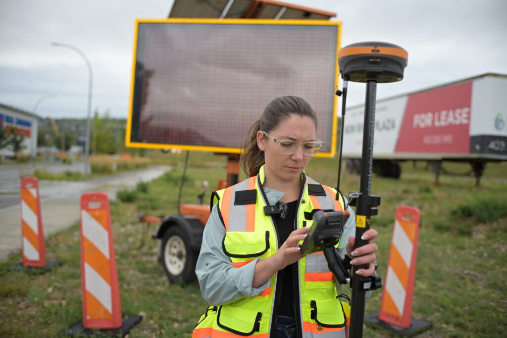
The hardware in a receiver enables accuracy. The correction method delivers it. These are not the same thing, and the gap between them is often where purchasing decisions go wrong.
Standalone GNSS (no corrections) produces one to three metres of accuracy. Useful for GIS asset collection or reconnaissance, not for survey-grade work. SBAS systems like WAAS, free and satellite-delivered across the contiguous US, reduce that to roughly half a metre but cannot approach the demands of cadastral or engineering survey.
RTK, using corrections from either a local base or a network reference station, brings accuracy to one to three centimetres in real time. Fast enough to use immediately in the field, precise enough for legal surveys, subdivision staking, and construction control.
Post-processed kinematic (PPK) achieves similar results after the fact, using logged raw observations combined with base station data, and is the standard approach for UAV photogrammetry where a live correction link isn’t practical during flight.
The US market gives surveyors more correction infrastructure options than almost anywhere else: state DOT networks, NOAA CORS, and several private network services all compete for the same workflows.

Before evaluating any specific model, work through these fundamental questions:
Bench-Mark operates entirely online and supports survey and engineering professionals across the US from a single location, which means the guidance we provide is grounded in how these systems perform across a genuinely wide range of American project environments. If you’re evaluating a new GNSS receiver or reassessing what your current setup is actually capable of, that kind of direct, experience-based perspective is worth having before you buy.
