


High-performance aerial data solutions for professional workflows
DJI is a global leader in drone and aerial imaging technology, with systems used across surveying, construction, agriculture, and public safety. These platforms are designed to deliver reliable performance, accurate data, and efficient workflows in real field conditions.
DJI Enterprise drones combine advanced positioning, intelligent automation, and versatile payload options to support demanding projects where accuracy and speed matter.
Key Advantages
These capabilities allow teams to collect accurate aerial data faster, reduce field time, and improve overall project efficiency.
Showing all 11 results
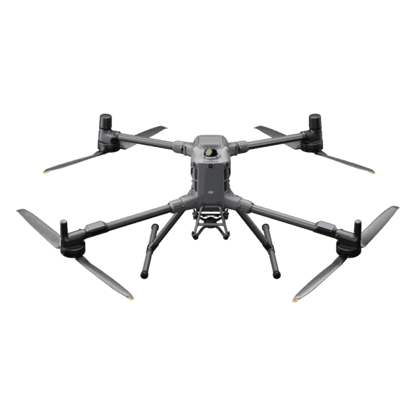
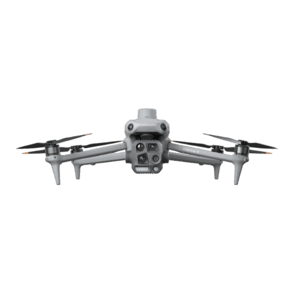
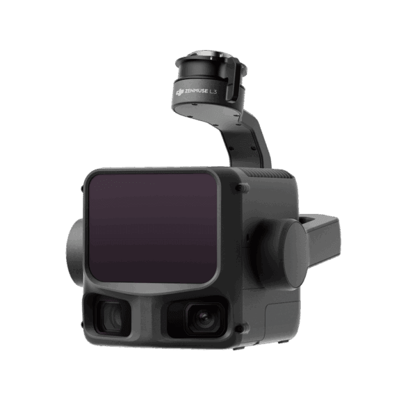
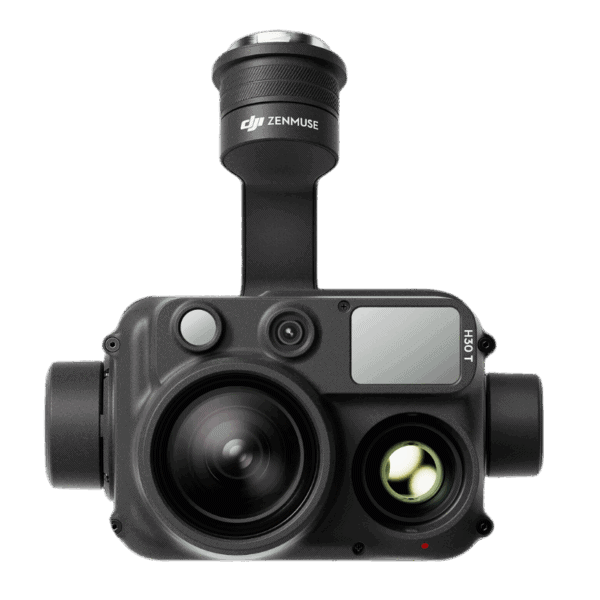
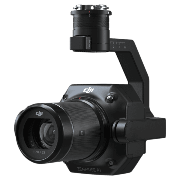



DJI Enterprise solutions are designed for professional aerial data collection, including land surveying, mapping, infrastructure inspection, construction monitoring, and public safety operations. These systems combine enterprise drones, RTK positioning, LiDAR sensors, and specialized cameras.
Surveying professionals often use models such as the DJI Matrice series and DJI Mavic 3 Enterprise RTK. These drones support high-precision positioning, advanced cameras, and compatibility with photogrammetry and LiDAR payloads.
Photogrammetry uses high-resolution cameras to create 3D maps and orthomosaics from aerial images, while LiDAR sensors capture accurate elevation and terrain data using laser scanning. LiDAR is often preferred for mapping areas with dense vegetation or complex terrain.
Yes. Many DJI Enterprise drones support RTK GNSS positioning, which improves georeferencing accuracy during flight. RTK-enabled drones can produce survey-grade data with reduced reliance on ground control points.
DJI survey data is commonly processed using DJI Terra, which allows users to generate orthomosaics, 3D models, and point clouds from drone imagery and LiDAR scans.
DJI Enterprise drones are widely used in land surveying, construction, mining, infrastructure inspection, agriculture, public safety, and environmental monitoring.
Everything you need to know
Selecting the right DJI Enterprise drone depends on your application, payload needs, and workflow.
1. Identify Your Application
Mapping & surveying → DJI Mavic 3 Enterprise RTK
LiDAR & advanced scanning → Matrice series with LiDAR payloads
Inspection & thermal → Thermal-enabled drones
2. Determine Accuracy Requirements
RTK-enabled drones → High-precision mapping
Standard GPS → General aerial imaging
3. Choose the Right Platform
Portable systems: Mavic series (fast deployment)
Heavy-duty platforms: Matrice series (advanced payloads)
4. Consider Sensor Requirements
RGB cameras for photogrammetry
LiDAR for dense vegetation or complex terrain
Thermal cameras for inspections and safety
5. Evaluate Software Workflow
Ensure compatibility with processing tools like DJI Terra for efficient data processing and analysis.

Feature | DJI Enterprise Drones | Autel Robotics | senseFly (AgEagle) | Parrot |
RTK Accuracy | ✔ Centimeter-level (RTK models) | ✔ | ✔ | Limited |
Ease of Use | ⭐⭐⭐⭐⭐ (industry-leading) | ⭐⭐⭐⭐ | ⭐⭐⭐⭐ | ⭐⭐⭐ |
Flight Automation | ✔ Advanced | ✔ | ✔ | Moderate |
Sensor Options | RGB, Thermal, LiDAR | RGB, Thermal | Mapping-focused | Limited |
Software Ecosystem | ✔ DJI Terra + integrations | Moderate | Specialized | Limited |
Portability | ✔ Compact + enterprise options | ✔ | Limited | ✔ |
Price | 💲💲💲 (strong value) | 💲💲💲 | 💲💲💲💲 | 💲💲 |
Best For | All industries + versatility | Alternatives | Fixed-wing mapping | Entry-level |
Surveying, construction, engineering, and mapping workflows
Surveying & Mapping
DJI Enterprise drones such as the DJI Mavic 3 Enterprise RTK are widely used for photogrammetry, topographic mapping, and land surveys. High-accuracy data collection improves project efficiency and reduces field time.
Construction & Infrastructure
Drones support site inspections, progress tracking, and volumetric calculations. Accurate aerial data helps teams make better decisions and stay on schedule.
Public Safety & Search and Rescue
Thermal imaging and real-time aerial views enable first responders to locate individuals, assess hazards, and respond quickly in emergency situations.
Utilities & Asset Inspection
Inspect power lines, pipelines, and infrastructure safely and efficiently without putting personnel at risk.
Agriculture
Monitor crops, analyze field conditions, and optimize resource usage with aerial imaging and mapping capabilities.
Mining & Aggregates
Perform stockpile measurements, site mapping, and operational monitoring with accurate and repeatable drone data.

Reliable drone solutions backed by expert support
We help you get the most out of DJI Enterprise drone systems by matching the right equipment to your workflow and project requirements. With strong experience in GNSS and positioning technologies, we focus on practical solutions that deliver accurate data and reliable performance in the field.
Our goal is to provide the right system, reduce setup complexity, and ensure your equipment works efficiently from day one.
What We Offer
This approach helps ensure your drone system is set up correctly, performs consistently, and supports efficient project execution.