
How Does a Total Station Work and How to Use It
Using a total station or any other piece of surveying equipment is easy when you know the right steps. But an understanding of the names


Using a total station or any other piece of surveying equipment is easy when you know the right steps. But an understanding of the names

One of the chief reasons for our interconnected world is the space race. Of course, this is seen by many as a divisive power struggle
The wide world of RTK GPS includes many interesting and diverse applications. To learn about this interesting technology, how it works with GIS and how
Although it seems so obvious in today’s world, RTK GPS and other navigation systems are relatively new in their usefulness. Of course, it was only

Within the world of surveying equipment, there are many different systems at work. Naturally, for a process complex enough to send precision equipment into space,

With the continuous cementing of our interconnected world, the availability of building materials and efficient labour makes every construction project viable and desirable. As a
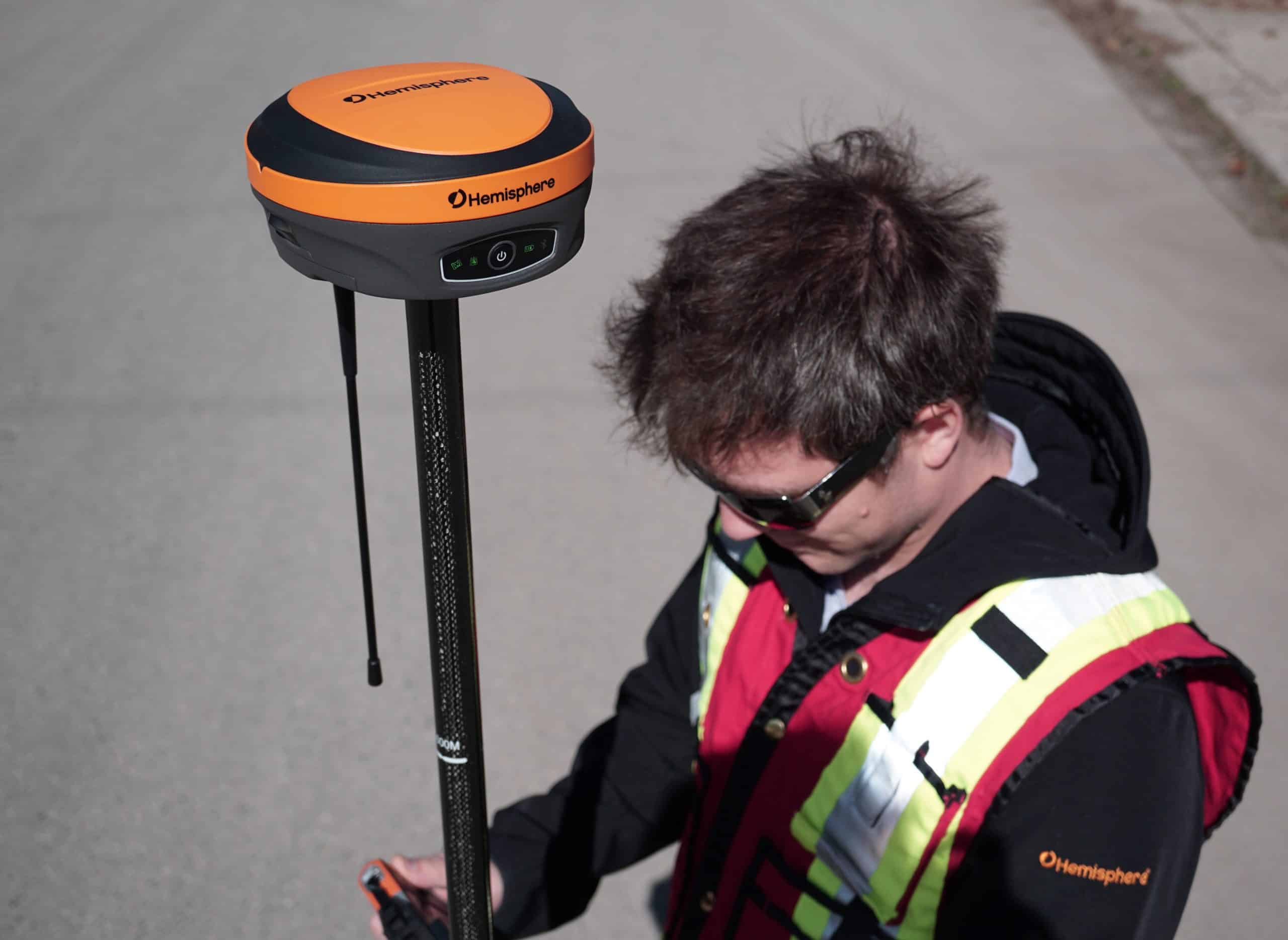
RTK GPS systems are considered some of the most indispensable pieces of land surveying equipment available to surveyors and engineers. Both disciplines rely heavily on

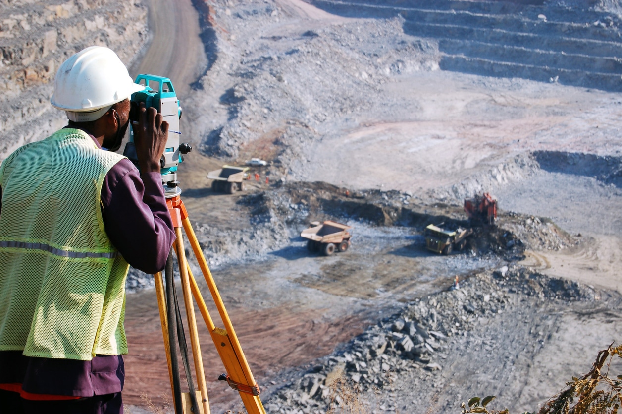
Surveyors need to use high-tech land surveying equipment to create maps, measure distances and specific areas to ensure they can complete their tasks at hand.

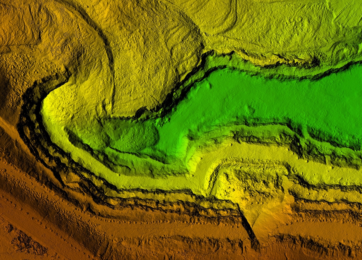
One of the most fascinating parts of construction projects often receives the least amount of attention. Of course, we are talking about the preparation phase

The benefits of a GeoMax robotic total station are significant and rewarding. With the level of accuracy you want for the type of surveying equipment