
The wide world of RTK GPS includes many interesting and diverse applications. To learn about this interesting technology, how it works with GIS and how they benefit the agricultural sector, continue reading on down below!
What is GPS?
The Global Positioning System (GPS) is an American constellation of satellites. Many Global Navigation Satellite Systems (GNSS) are referred to as GPS, but only the American system actually has that name. Other notable GNSS examples include GLONASS and BeiDou, the Russian and Chinese systems, respectively.
What is GIS?
A Geographical Information System (GIS) is a system used for capturing, recording, storing and providing information about a particular geographical location. It can show many different types of data in one location, such as distance, topography, roads, population density and other relevant factors.
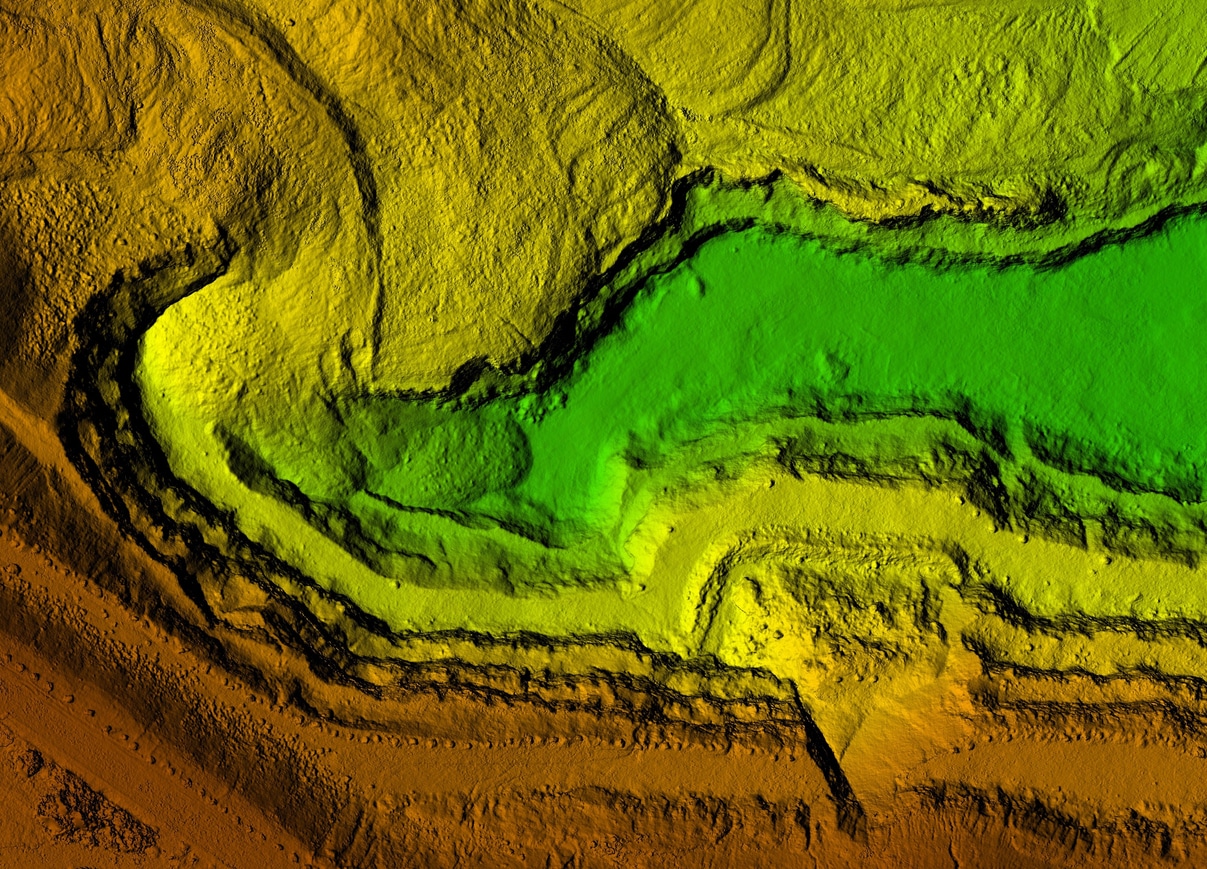
Contour Mapping
A combination of RTK GPS and GIS are used to provide contour mapping services to farmers. This information allows them to choose the best layout for planting their crops and prevents unfortunate accidents due to sudden changes in elevation or terrain.
Crop Dusting
A great way to utilize GPS is through crop dusting. Utilizing complex formulas to ensure an accurate and consistent spread of fertilizer or pesticide can help improve crop yield and overall plant health on a farm.
Soil Sampling
Soil sampling can be done in conjunction with a GIS to provide long-term trend data and planting information. Through many planting cycles, the necessary resources can be added to the land to ensure a consistent crop yield year over year.
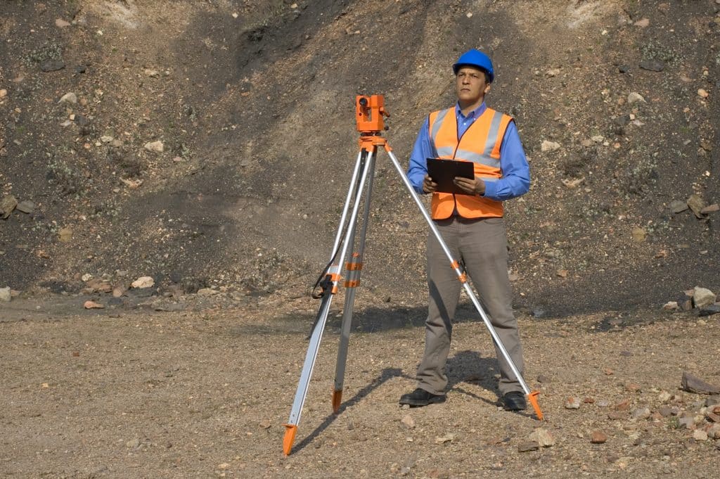
If you are looking for more information or your own RTK GPS equipment, consider contacting us today. We have the information, staff and support you need to achieve the highest level of accuracy with the best survey equipment available. We look forward to hearing from you!
Bench Mark Equipment & Supplies is your team to trust with all your surveying equipment. We have been providing high-quality surveying equipment to land surveyors, engineers, construction, airborne and resource professionals since 2002. This helps establish ourselves as the go-to team in Calgary, Canada, and the USA. Plus, we provide a wide selection of equipment, including global navigation satellite systems, RTK GPS equipment, GNSS receivers, and more. We strive to provide the highest level of customer care and service for everyone. To speak to one of our team today, call us at 403-286-0333 or email us [email protected]
