
Although it seems so obvious in today’s world, RTK GPS and other navigation systems are relatively new in their usefulness. Of course, it was only after the space race that nations around the world realized the potential for space-based navigation. Even then, it took many years for the systems to be built and utilized by governments, and even more time before the technology became available for the public and private sectors.
However, since it has become popular, widespread and convenient, almost every industry has managed to find some benefit to using GPS or RTK GPS technology. Whether it is for keeping track of important assets, monitoring weather changes, or simply increasing the efficiency of existing tasks, there seems to be a new application always around the corner.
Today we look at how the mining industry utilizes GPS in their daily operations.
Many processes in the modern mining industry have become automated, which coincidentally, is also possible as a result of GPS. Heavy machinery is one of these newly autonomous processes, and GPS technology ensures it has clear path-tracking and collision avoidance capabilities.
Maintaining an accurate flow of resources and ensuring the accurate collection of valuable resources is often a series of interconnected decisions that maximize the potential value and safety of the situation. Nowhere is this more true than GPS-guided drilling operations. These give accurate information to the drill head and control its direction deep within the earth.
Although collision avoidance is an essential part of controlling heavy machinery with GPS, it is also helpful for managing complex systems of vehicles and changing job sites. While one truck may be autonomous, earthmovers and other vehicles may be controlled by human operators. Ensuring this orchestral performance of interconnection continues without issue require accurate dimensions, movement tracking and the interweaving of complex electronic equipment.
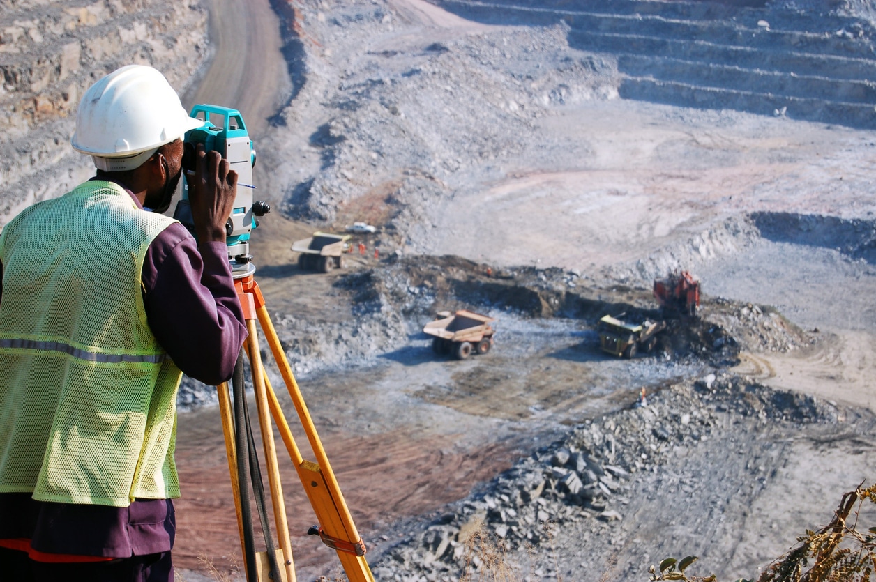
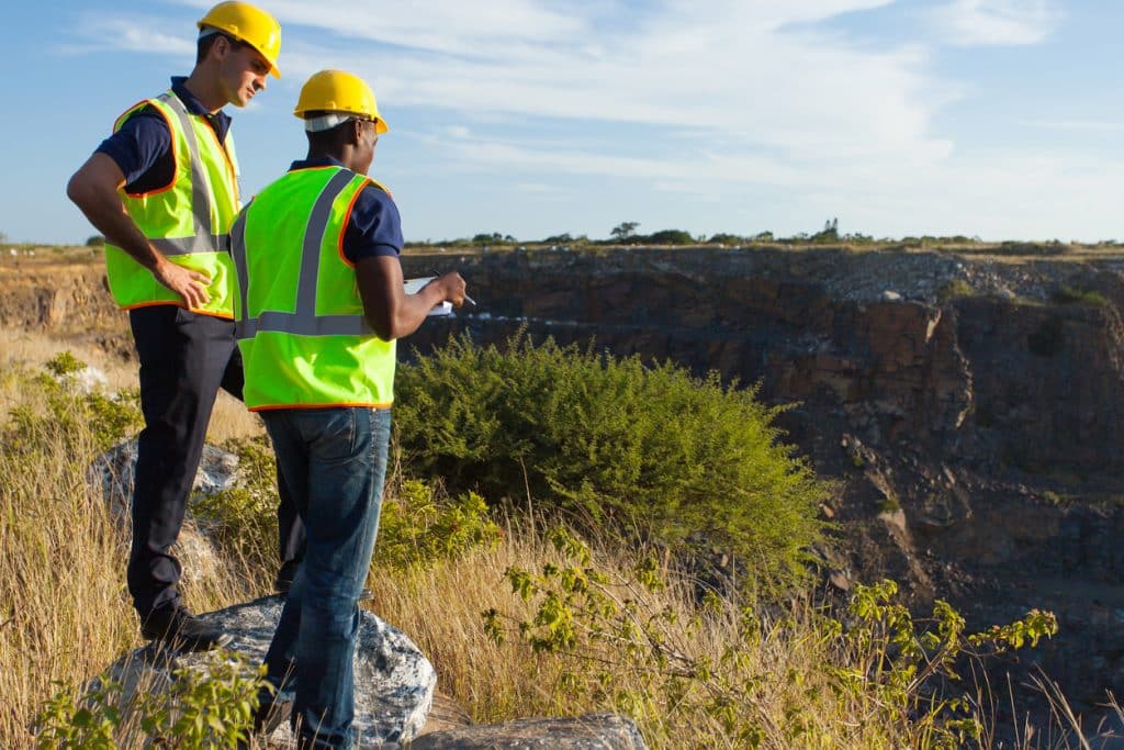
Of course, surveying is also necessary at mining locations. This helps decide the best location for worker quarters, equipment storage and the main operations. It is also useful for determining blasting locations prior to the beginning of a mine and many other useful functions.
Bench Mark Equipment & Supplies is your team to trust with all your surveying equipment. We have been providing high-quality surveying equipment to land surveyors, engineers, construction, airborne and resource professionals since 2002. This helps establish ourselves as the go-to team in Calgary, Canada, and the USA. Plus, we provide a wide selection of equipment, including global navigation satellite systems, RTK GPS equipment, GNSS receivers, and more. We strive to provide the highest level of customer care and service for everyone. To speak to one of our team today, call us at 403-286-0333 or email us [email protected]
