We supply survey-grade GNSS receivers built for dependable positioning across land surveying, construction layout, GIS mapping, and marine applications. With more than 15 years of industry experience and strong manufacturer partnerships, we focus on matching each receiver to real field workflows rather than specifications alone.
Our selection includes RTK-capable GNSS receivers designed for centimeter-level accuracy, reliable multi-constellation tracking, and seamless compatibility with major data collectors and software platforms. Every system is tested, configured, and supported by experienced technicians to ensure consistent performance from the first day in the field.
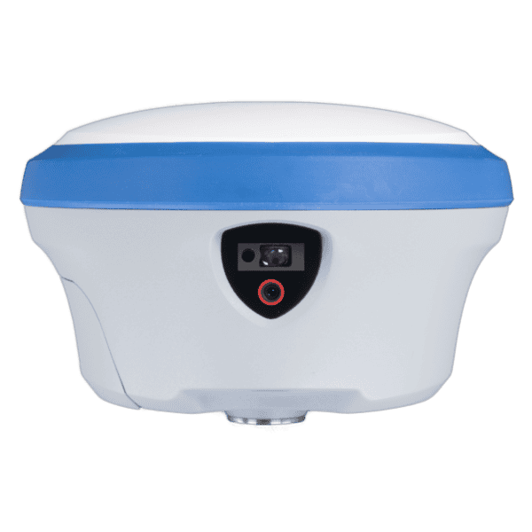
Survey-grade RTK GNSS receivers are typically the best GNSS receiver option for boundary surveys, construction layout, and engineering projects where centimeter-level accuracy and fast initialization are required.
Standalone positioning may provide sub-meter accuracy, while SBAS or satellite corrections improve precision further. With RTK corrections, survey-grade GNSS receivers commonly achieve centimeter-level results in real time.
Most modern GNSS receivers support industry-standard communication protocols and integrate with widely used field software, GIS platforms, and data collectors. Compatibility can be confirmed for any specific workflow.
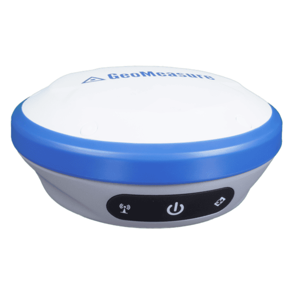
Yes. A single receiver can support surveying, construction staking, as-built documentation, GIS data capture, and marine positioning, allowing crews to standardize equipment across projects.
Many current RTK GNSS receivers offer IMU-based tilt technology that enables accurate measurements without perfectly leveling the pole, improving efficiency in the field.
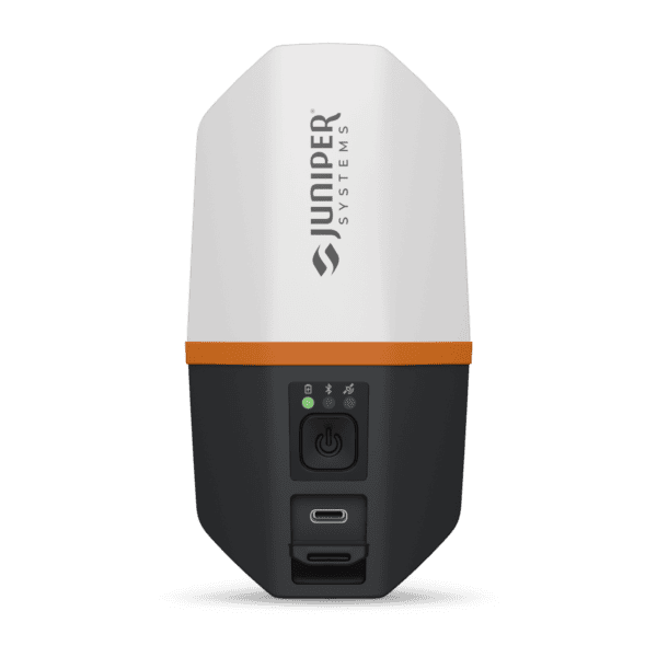
All GNSS receivers are preconfigured and field-ready. Ongoing phone, video, and troubleshooting support is available to help crews stay productive.
GNSS Receivers Built for Demanding Applications
Precision and Flexibility in the Field
We offer GNSS receivers selected for reliable performance across challenging environments, from dense construction corridors to open survey terrain and marine operations. Multi-constellation tracking, RTK correction capability, and flexible communication options help maintain accuracy even when signal conditions are less than ideal.
Each receiver is chosen for long-term usability, ensuring compatibility with evolving correction networks, controllers, and software platforms. The result is dependable positioning that supports both daily production work and complex survey requirements.
Trusted Support for Long-Term Performance
Practical Expertise When It Matters
Reliable GNSS positioning depends on more than hardware alone. Our team works directly with surveyors, engineers, and contractors to assist with configuration, workflow optimization, and troubleshooting in real field conditions.
This hands-on support reduces downtime, protects equipment investment, and helps maintain consistent productivity. Professional GNSS receivers backed by responsive technical expertise deliver lasting value across every project.
To provide the best experiences, we use technologies like cookies to store and/or access device information. Consenting to these technologies will allow us to process data such as browsing behavior or unique IDs on this site. Not consenting or withdrawing consent, may adversely affect certain features and functions.
Functional
Always active
The technical storage or access is strictly necessary for the legitimate purpose of enabling the use of a specific service explicitly requested by the subscriber or user, or for the sole purpose of carrying out the transmission of a communication over an electronic communications network.
Preferences
The technical storage or access is necessary for the legitimate purpose of storing preferences that are not requested by the subscriber or user.
Statistics
The technical storage or access that is used exclusively for statistical purposes.The technical storage or access that is used exclusively for anonymous statistical purposes. Without a subpoena, voluntary compliance on the part of your Internet Service Provider, or additional records from a third party, information stored or retrieved for this purpose alone cannot usually be used to identify you.
Marketing
The technical storage or access is required to create user profiles to send advertising, or to track the user on a website or across several websites for similar marketing purposes.