

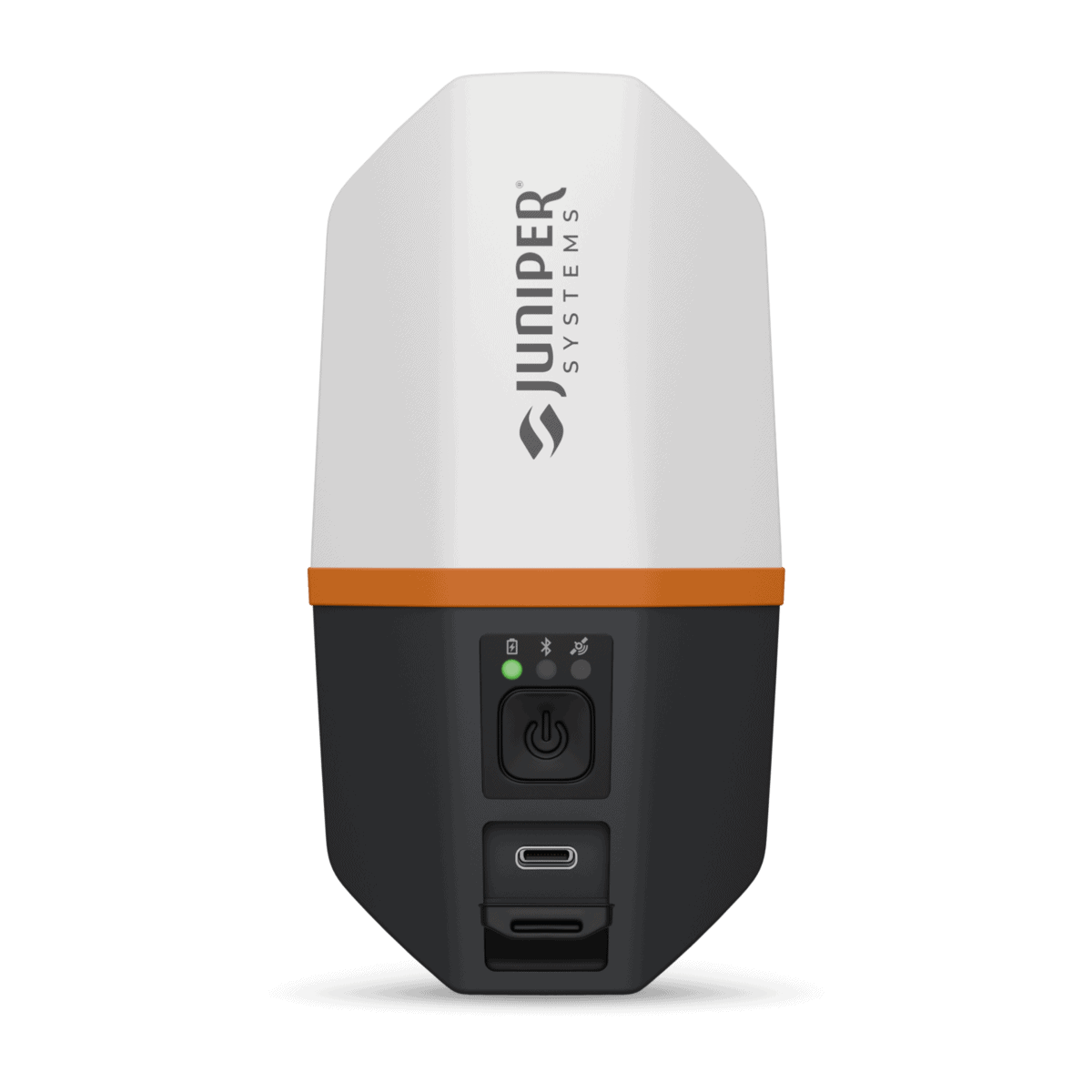
Spire™ is a multi-frequency, multi-constellation GNSS receiver designed for real-time workflows. It tracks major constellations concurrently (GPS, GLONASS, BeiDou, Galileo, QZSS, NavIC) and supports SBAS (EGNOS, WAAS, MSAS, GAGAN, etc.) plus RTK corrections via RTCM v3.x. Position output is available via NMEA-0183 and proprietary UBX binary protocols, with update rates from 1 Hz (standard) up to 20 Hz.

Product details
Package includes
Spire™ delivers RTK fixed horizontal accuracy of 1.5 cm + 1 ppm (RMS) and SBAS/SLAS horizontal accuracy of 0.7 m (RMS), with typical 27 s cold start and 2 s reacquisition. A built-in precision quadrifilar helical antenna supports robust reception, while the rugged enclosure meets IP68 (1 m for 45 minutes) and MIL-STD-810H, operating from -20°C to +60°C.
Power: 5500 mAh Li-ion, 16+ hr runtime, ~6 hr charge, USB-C (5V/3A)
Interfaces: USB-C for charging/data transfer (115200 baud supported)
Software: Juniper Connect™ for configuration and communications setup
Compatibility: Windows 10/11, Android 8+, iPhone/iPad (see supported list)
Physical: 143 × 78 × 60 mm; 320 g; 5/8-11 BIS mount
Included: AC supply, EU/UK adapters, USB-C cable, 5/8-11 to 1/4-20 adapter
Yes. Spire supports RTK corrections and is specified at 1.5 cm + 1 ppm horizontal RMS when operating with an RTK Fixed solution. Actual accuracy depends on the correction source, satellite geometry, multipath, atmospheric conditions, and the surrounding environment.
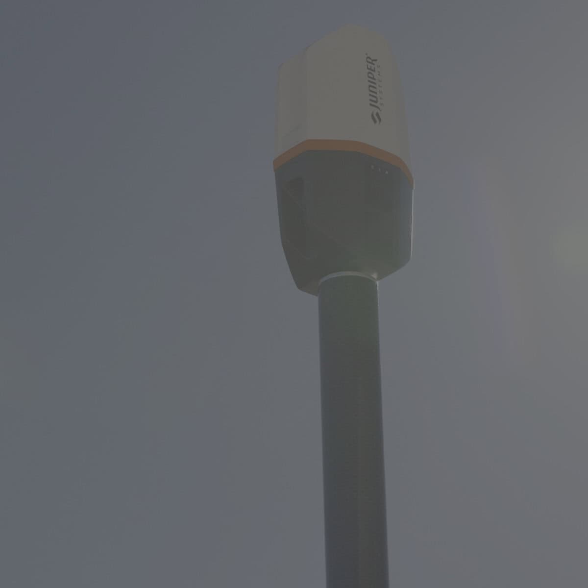
No. Spire has a built-in precision GNSS antenna, so you do not need to attach an external antenna or manage an antenna cable during normal operation. This is one of the main differences between Spire’s compact workflow and GNSS systems that use a separate external survey antenna.
Yes. Juniper Connect can be configured with other network RTK providers, allowing Spire to receive corrections from a compatible NTRIP service rather than requiring Juniper RTK specifically. Your mobile device still needs an internet connection to provide the correction data to the receiver.
Yes. Juniper documents Spire as compatible with ArcGIS Field Maps and provides a workflow using Juniper Connect to provide the RTK correction service while Field Maps uses Spire as its external location provider. This makes the receiver suitable for GIS workflows where teams already use Field Maps for asset collection and field editing.
Yes. Spire can connect to Windows, Android, iPhone, and iPad devices, giving crews flexibility to use the mobile hardware they already have. Juniper Connect is available for all three major platforms and handles receiver communication and configuration.
Juniper RTK is a subscription-based network correction service that works with Spire through Juniper Connect. It uses a network of RTK base stations and can provide approximately 2 cm accuracy when conditions and proximity to a reference station are suitable; an internet-connected mobile device is required to receive the corrections.
Yes. Spire can operate using autonomous GNSS or SBAS corrections when centimeter-level RTK is not required. Juniper specifies approximately 1.2 m horizontal RMS for autonomous positioning and 0.7 m horizontal RMS with SBAS/SLAS, making the receiver useful for projects with different accuracy requirements.
Yes. The receiver uses a 5,500 mAh internal battery rated for 20+ hours and weighs roughly 320–330 g, depending on the source’s stated configuration. The battery is non-removable, however, so extended multi-day field operations need to be planned around charging rather than carrying replacement batteries.
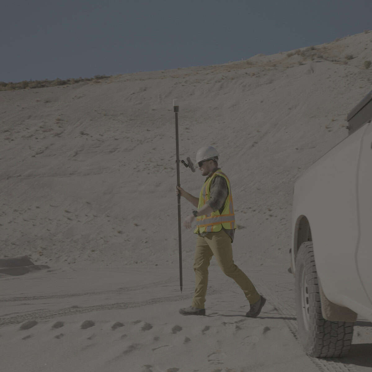
Yes. Spire has an IP68 rating and has been tested to MIL-STD-810H for environmental conditions including drop, vibration, temperature, and humidity. Juniper specifies an operating range of -20°C to +60°C, which makes it suitable for a wide range of outdoor mapping and surveying environments.


Reviews
There are no reviews yet.