GeoMeasure LUX Laser RTK

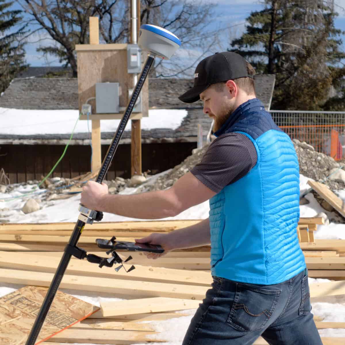
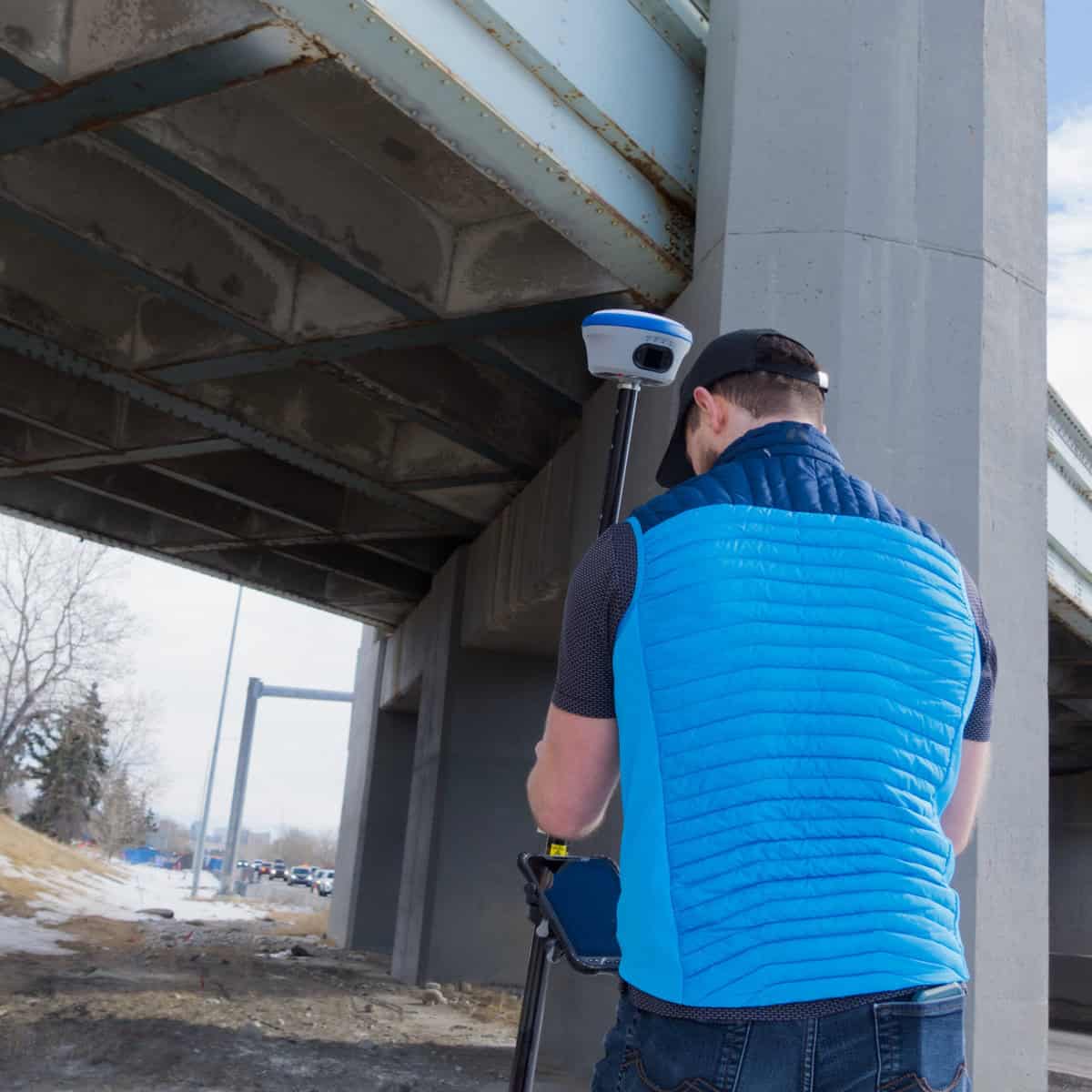
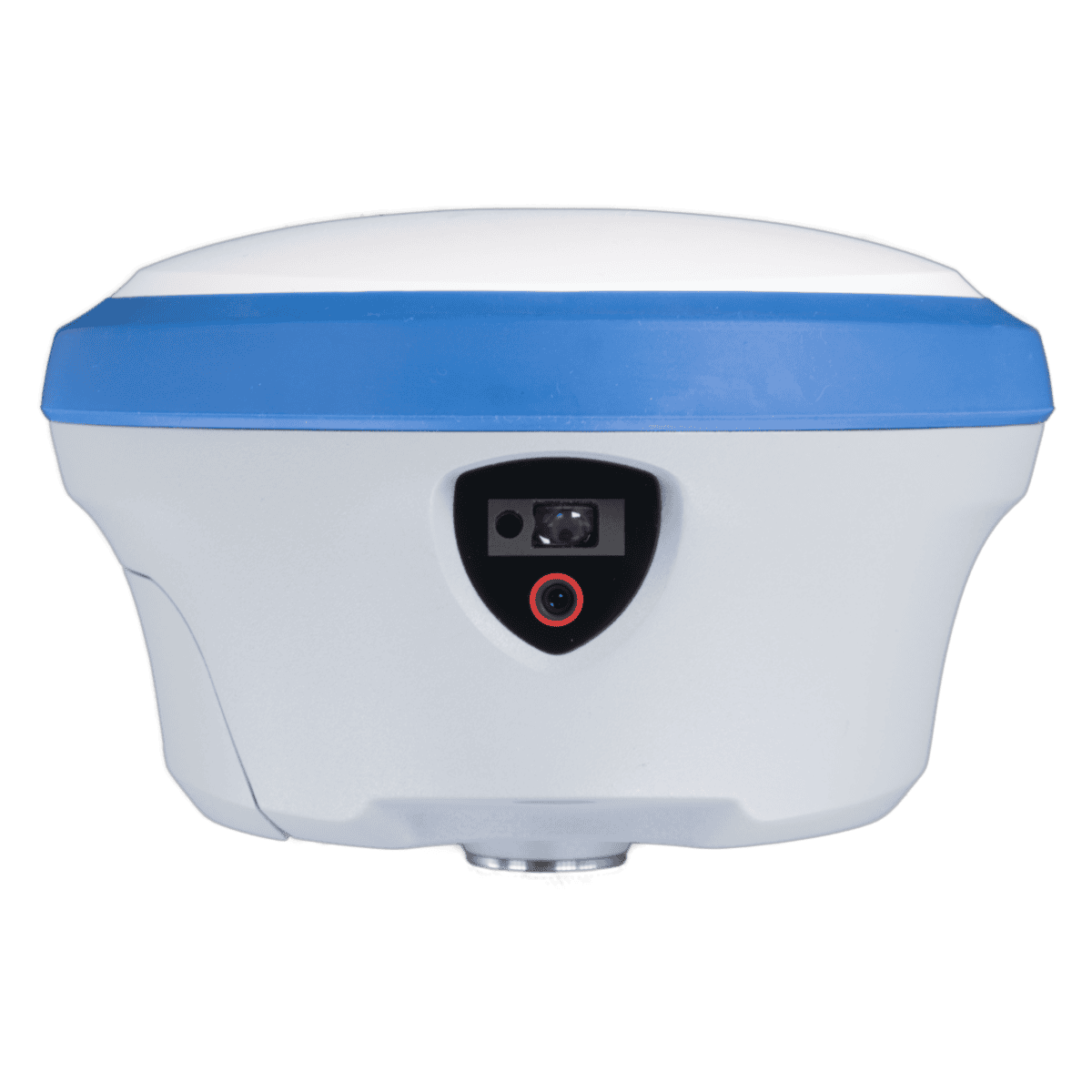
GeoMeasure Lux RTK is built for construction crews who need faster layout, cleaner as-builts, and fewer callbacks. This dual-camera laser RTK receiver combines high-precision positioning with IMU-driven tilt measurement, AR real-world stakeout, and laser visualization—so you can see where the point should be and set it with confidence. It also supports visualized point-and-measure workflows with an HD camera and millimeter-grade laser ranging, with a working radius up to 30 meters for efficient measuring on active sites.

Made for everyday jobsite use, Lux features a rugged magnesium-alloy body and hot-swappable batteries to keep work moving without shutdowns. Under the hood, its full-system, multi-frequency GNSS engine delivers 1,408 channels for reliable reception, while real-time tilt compensation helps eliminate “floating points” during RTK work and supports accurate, one-shot AR staking. With over 20 hours of runtime, an IP68 rating, and drop resistance up to 1.5 m, it’s a practical tool for crews working long days in tough conditions.

Youtube video


Additional product info

Product details

  • 8 mm +/- 1 ppm RTK
  • GPS, GLONASS, Galileo, BeiDou, QZSS, IRNSS and SBAS
  • Laser RTK Measurements
  • AR Stakeout
  • Up To 20 Hour Battery Life

Package includes

  • Nano 7 RTK Reciever
  • Charger
  • Other Accessories
  • Hard Case

Description

Youtube video

FAQs

Yes. The Lux combines survey-grade RTK positioning with an integrated laser measurement system, allowing you to capture GNSS positions and measure offsets or inaccessible features using a single device. This can reduce the need to switch between separate surveying instruments during fieldwork.

It replaces some of the back-and-forth walking of traditional stakeout with a camera-guided visual overlay. Instead of watching a distance-to-target readout on your data collector and adjusting your position step by step, the camera shows you the real-world scene with the target point overlaid, so you can walk directly to it and set the point in a single approach. It’s built around the Lux’s HD AR camera and IMU working together, not the laser module, the laser handles distance measurement to a physical surface, AR stakeout handles walking you to a GNSS-derived point.

The laser module is rated Class 3R, which is a lower-power classification than the higher-risk laser classes, but it’s still a real laser and not something to point at anyone’s eyes intentionally or leave running unattended pointed at eye level. Standard laser safety practice applies: don’t aim it at people, be aware of reflective surfaces that could redirect the beam, and treat it with the same basic caution you’d use with any laser measurement tool on an active site.

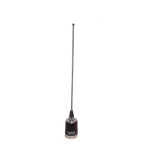
Not necessarily, check protocol compatibility before assuming it’ll drop into an existing radio setup. The Lux’s integrated radio supports TRIMTALK, TRIMMK3, SOUTH, and TRANSEOT protocols, which is a different list than the Satel-based protocol set (TrimTalk, Pacific Crest, TrimMark, Satel) used on the S631 and other Hemisphere receivers. If you’re planning to mix a Lux rover with an existing Hemisphere base or vice versa, confirm the specific protocol and frequency match with our team first rather than assuming cross-compatibility.

They’re built for different jobs despite both being compact GeoMeasure RTK receivers. The Nano 7 is a straightforward GNSS receiver, no camera, no laser, meant for GIS mapping and general RTK fieldwork at a lower price point. The Lux adds a dual-camera system, millimeter-grade laser ranging, and AR-guided stakeout on top of the same RTK accuracy class, built specifically for construction layout work where visualizing the stakeout point and measuring to physical surfaces (not just GNSS points) matters. If your work is pure GIS or boundary-style RTK with no laser measurement or AR need, the Nano 7 is the more cost-effective choice.

The published battery figure is specifically noted for network rover use cases, meaning standard RTK operation over a network connection, not continuous camera and laser use. Running the AR camera and laser measurement features draws more power than passive GNSS tracking, so expect shorter real-world runtime on days with heavy AR stakeout or laser measurement use compared to a day of mostly walking topo shots. The two hot-swappable batteries help offset this either way, since you can swap mid-day without having to resetup the equipment.

Reviews

There are no reviews yet.

Be the first to review “GeoMeasure LUX Laser RTK”

Your email address will not be published. Required fields are marked *