

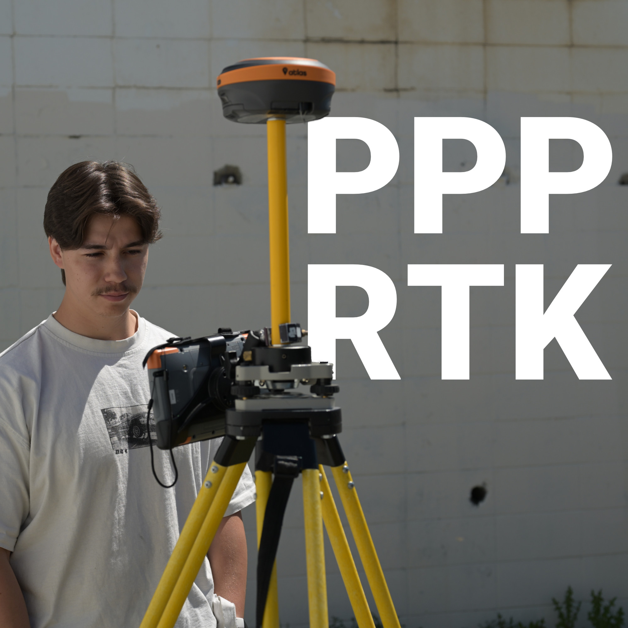
A survey crew setting up in a remote stretch of rural Montana faces a problem that has nothing to do with their equipment quality: there is no nearby base station or RTK network within range, and running a base of their own eats up time they don’t have.
For decades, that gap meant choosing between hauling in a temporary base setup or accepting lower accuracy. PPP-RTK closes that gap by delivering survey-grade positioning through a satellite or cellular broadcast alone, with no local infrastructure required.
Understanding how this correction method works, and where it fits against traditional RTK, helps surveyors and engineers decide when it earns a place in their workflow.
Why GNSS Receivers Need Corrections in the First Place
RTK vs. PPP: Two Different Trade-Offs
Where PPP-RTK Fits
What Makes This Possible
When PPP-RTK Makes Sense
Choosing the Right Correction Method for the Job
Coverage Without the Compromise
Every GNSS receiver picks up raw satellite signals, but those raw measurements carry built-in errors from satellite clock drift, atmospheric interference, and small deviations in predicted orbital paths.
Left uncorrected, these errors limit positioning accuracy to several meters, which is fine for a smartphone map but useless for a boundary survey or a construction stakeout.
The receiver has no way to know how much error exists at its specific location, so it depends on a correction service to fill in that information.
Two long-standing approaches solve this problem in very different ways: conventional RTK and Precise Point Positioning, or PPP. PPP-RTK borrows strengths from both.
Conventional RTK, technically known as observation state representation, measures GNSS errors from one or more fixed reference stations and transmits correction data over a two-way IP connection to receivers within roughly 30 kilometers. It delivers sub-2-centimeter accuracy in under 20 seconds, but that performance depends on staying within range of a base station or network, and the continuous two-way data stream can get expensive at scale.
PPP takes the opposite approach. Rather than relying on a nearby reference station, it models GNSS error states, including satellite clock, orbit, atmospheric, and signal bias errors, across a wide geographic region and broadcasts that model outward. This one-way broadcast supports unlimited users without needing proximity to a base, but convergence is slow: reaching decimeter-level accuracy can take several minutes, which rules out fast-moving fieldwork.

PPP-RTK combines the wide broadcast coverage of PPP with a convergence speed much closer to RTK. Instead of transmitting a bare error model, PPP-RTK correction services add regional atmospheric and ionospheric data on top of the global clock, orbit, and bias corrections. That extra layer is what allows a receiver to lock onto a precise fix in well under a minute rather than several.
The result is typically 3 to 6 centimeter accuracy with initialization times under 30 seconds, delivered entirely through one-way communication such as satellite L-band or cellular broadcast. No local base station, no two-way link back to a reference network, and no dependency on being within a fixed radius of ground infrastructure.
PPP-RTK correction services build their broadcast from several error components layered together. Satellite clock and orbit errors form the baseline, much like standard PPP. Regional atmospheric and ionospheric models add the piece that speeds up convergence, since these effects vary enough by location that a single global correction cannot account for them precisely. Signal bias corrections round out the model, resolving ambiguities that would otherwise slow the receiver’s path to a stable fix.
A GNSS RTK receiver processes this layered data stream and applies the corrections in real time, refining its position continuously as it collects additional data. This is a meaningfully different workflow than a traditional RTK GPS system, which depends on a base station transmitting live corrections from a known, surveyed point rather than a broadcast model covering an entire region.
PPP-RTK is not a universal replacement for RTK, and it should not be treated as one. Projects demanding the absolute tightest tolerances, such as boundary surveys or high-precision construction layout, still benefit from the sub-2-centimeter accuracy and rapid fix of a well-positioned RTK base or network. Where PPP-RTK earns its place is in scenarios where local infrastructure is impractical or unavailable.

The decision between RTK and PPP-RTK usually comes down to two questions: how tight does the tolerance need to be, and how available is local infrastructure at the job site. A crew working within range of an established RTK network gains little by switching to PPP-RTK, since the accuracy ceiling is lower. A crew working in a coverage gap gains a great deal, since PPP-RTK delivers survey-usable accuracy where RTK simply cannot reach.
At Bench-Mark, this kind of equipment matching comes up constantly with clients working across large or remote sites in both the US and Canada. A receiver capable of switching between correction methods, rather than being locked into one, gives field crews the flexibility to use RTK where it is available and fall back on PPP-RTK where it is not. That flexibility matters more as job sites spread further from established infrastructure, and it is often the deciding factor between a receiver that works everywhere a project takes it and one that only works close to home.
PPP-RTK exists because fieldwork does not always happen within convenient range of a base station, and waiting several minutes for a PPP fix is not always acceptable either. By layering regional atmospheric corrections onto a global broadcast model, PPP-RTK closes most of the gap between the two, delivering centimeter-level accuracy fast enough for real fieldwork without demanding local infrastructure. For surveyors, engineers, and equipment buyers weighing correction options, the right choice depends less on which technology sounds more advanced and more on where the work actually happens. Bench-Mark works with crews across the US to match receivers and correction services to the realities of their job sites, so accuracy does not depend on how close the nearest base station happens to be.
