
Before concrete is poured or utilities are installed, construction site surveying sets the entire project in motion. When done well, it saves time, money, and headaches. When done poorly, errors compound fast. Read further to discover what surveying in construction means, the methods used on modern job sites, how accuracy is achieved, and what equipment surveyors rely on today.
What Is Surveying in Construction?
Construction Surveying Methods and Workflow
Equipment Used in Construction Surveying
Accuracy Requirements for Construction Surveying
Choosing the Right Equipment for Your Construction Projects
Getting Better Results from Construction Surveying
Construction surveying is the field process of establishing horizontal and vertical control for a construction project. It starts with research and reconnaissance to understand existing conditions, utilities, and site constraints. From there, surveyors set control points that serve as the spatial reference for the entire project. These control points define where structures sit, how grades flow, and where utilities route.
The surveyor’s job includes initial site layout, continuous construction staking as the project progresses, and final as-built verification to confirm that what was constructed matches the approved plans. Every phase of construction relies on surveying data. The excavator operator needs grade stakes to cut to elevation. The concrete crew needs foundation layout to set forms. The paving contractor needs centerline and offset stakes to control alignment and slope.
The construction surveying process follows a sequence that builds from control establishment through final verification. Here’s how it works on most projects:
Construction surveying needs equipment that handles the rough conditions of active job sites.
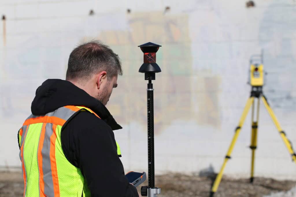
RTK GNSS systems provide real-time positions without line of sight between instruments. An RTK base receiver sits on a known control point and broadcasts corrections to rover receivers carried by the survey crew. The rovers calculate their position continuously as they move across the site.
For contractors running machine control on dozers or excavators, the same RTK base supports the surveying rovers and the machine systems. This integration means one base setup provides positioning for all site operations.
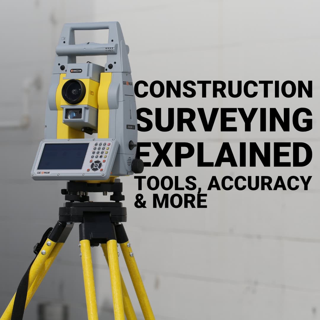
Total stations perform well for construction surveying when you need to work without satellite visibility or when you’re verifying critical dimensions. Under structures, between buildings, or in other obstructed areas, a total station provides angle and distance measurements independent of GNSS signals. Robotic total stations allow single-person operation. The surveyor operates the data collector, and the instrument automatically tracks the prism.
Laser levels and rotating lasers handle grade control for excavation, grading, and flatwork. A rotating laser establishes a horizontal plane across the site that equipment operators and concrete crews can work to directly.
Data collectors running FieldGenius tie everything together. The same device controls your RTK rover, your total station, and manages your project data from office to field and back. FieldGenius handles stake-out to design surfaces, linework for utilities and curbs, point layouts for structures, and as-built collection in formats that flow directly to CAD. When your equipment all speaks the same language through the same software, your workflow stays efficient.
Different phases of construction demand different accuracy levels. Understanding these tolerances helps you choose appropriate methods and equipment:
The equipment you need depends on your typical project types, crew structure, and accuracy requirements. A contractor building single-family homes has different needs than one developing industrial parks or commercial centers.
An RTK rover and base system handles the majority of construction surveying needs. The Hemisphere S631 is a complete solution for initial layout, ongoing staking, and final as-built collection.
For these tasks, add a total station to your RTK system. The GeoMax Zoom95 complements RTK rovers because it provides measurements in obstructed areas and verification of critical dimensions. Both instruments work through the same software interface.
For contractors who handle their own layout instead of hiring survey crews, investing in quality equipment quickly pays off. An RTK system that costs about the same as a few weeks of survey services can deliver years of productive use. It’s worth choosing equipment with strong technical support, regular firmware updates, and compatibility with industry-standard software.
Accuracy comes from proper technique as much as equipment quality. Here’s what separates reliable construction surveying from work that creates problems:
Construction surveying should make everything else move faster. At Bench-Mark, we work with contractors and surveyors across the US to build RTK-based construction surveying setups that match real-world job site demands. Our specialists focus on tools that deliver accuracy without complexity.
