Search
Close this search box.
Search
Close this search box.

DJI L2 LiDAR

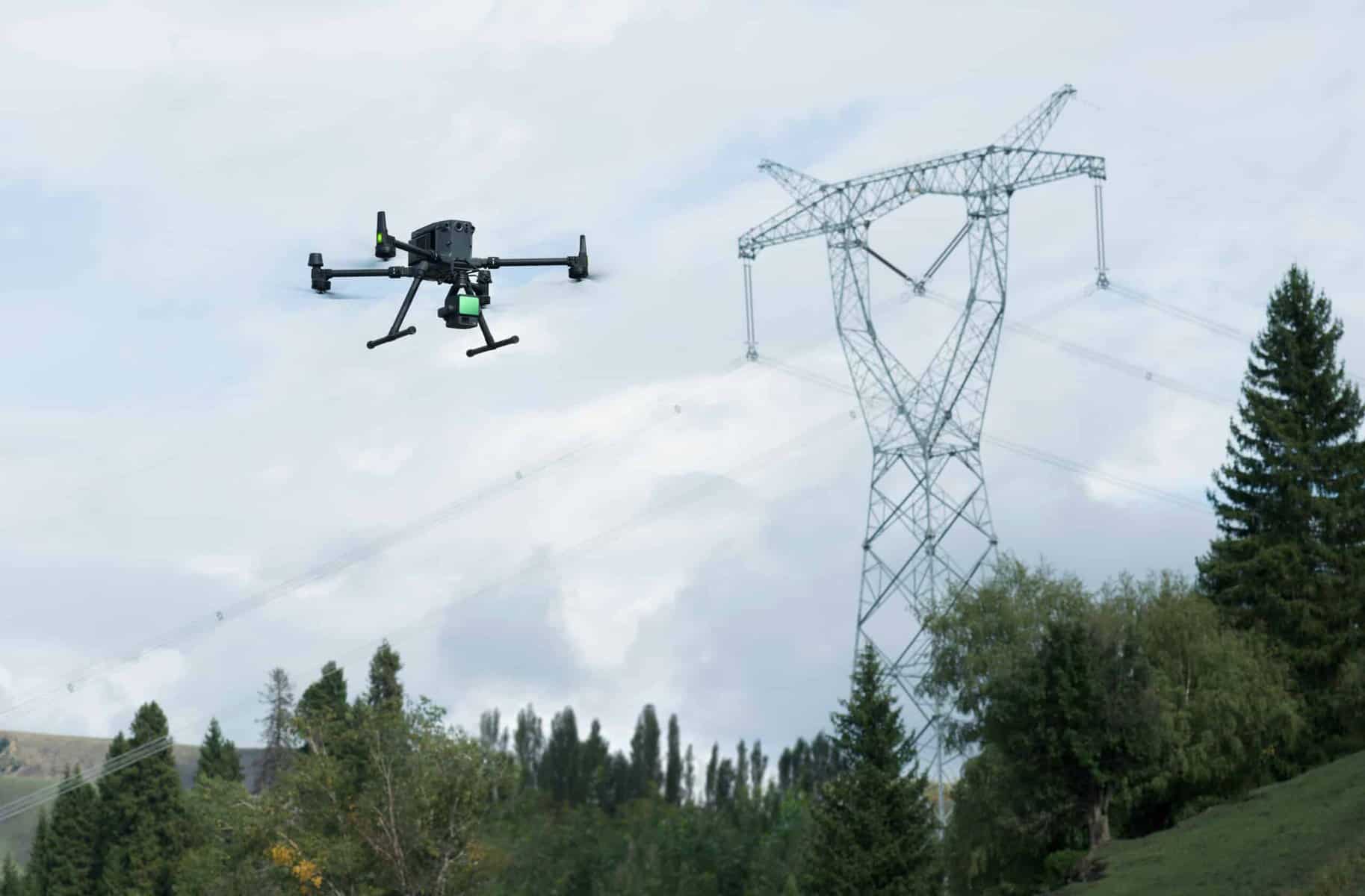
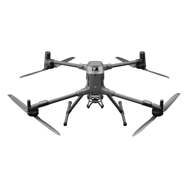
The Zenmuse L2 is an advanced aerial LiDAR system tailored to meet the exacting demands of engineers and surveyors. It excels in precision, offering a remarkable vertical accuracy of 4cm and horizontal accuracy of 5cm, making it an ideal choice for applications such as land surveying, infrastructure inspection, and forestry management. What’s more, it can cover an extensive area of up to 2.5 square kilometers in a single flight, reducing operational time and costs. The system’s IP54-rated durability ensures reliability in challenging environments, and its adaptability allows it to excel in diverse operational scenarios, from topographic mapping to vegetation analysis. In summary, the Zenmuse L2 combines precision, efficiency, and versatility to provide engineers and surveyors with a powerful tool for high-precision 3D data collection.

Additional product info

Detailed quote form

Request A Free Quote – DJI L2

"*" indicates required fields

Payload Options

Select Payload

Drone Options

Select Drone

RTK Options

Select RTK Option
Name*
Call In?
Receive text messages from us?

By submitting this form, you hereby agree to receive communications from Bench Mark

Product details

  • 4 cm Vertical Accuracy
  • 240,000 Pts/s
  • 5 Returns
  • 450 m Detection Range

Package includes

  • DJI L2 LiDAR Unit
  • Accessories

Description

Revolutionize Aerial Surveying with the Zenmuse L2

Are you ready for a game-changer in aerial surveying technology? The Zenmuse L2 offers a dynamic fusion of advanced features tailored for professionals across industries, making it an indispensable tool for precision data collection from the skies.

Key Features:

  • Comprehensive Integration: The Zenmuse L2 seamlessly combines a Livox Lidar module, a high-accuracy IMU (Inertial Measurement Unit), and a 20MP camera with a 1-inch CMOS sensor, mounted on a precision-engineered 3-axis stabilized gimbal.

  • Exceptional Efficiency: Cover vast areas efficiently with the capability to scan up to 2 km² in a single flight. This is made possible by the Livox frame Lidar module with a wide 70° field of view and a visible light camera that delivers real-time true-color point cloud models.

  • Unparalleled Accuracy: Achieve precision with centimeter-accurate reconstructions thanks to the high-accuracy IMU, a vision sensor for precise positioning, and the integration of GNSS data.

  • Versatility in Any Environment: With an IP44 Ingress Protection Level and an active scanning method, the Zenmuse L2 is ready to operate in various conditions, be it rainy, foggy, or low-light scenarios.

  • Live Data Visualization: The Point Cloud LiveView feature provides immediate insights on-site, enabling you to make critical decisions in real time and verify fieldwork quality by checking point cloud data immediately after each flight.

  • Measurement and Annotation: Streamline data interpretation and collaboration by acquiring and communicating critical dimensions on the point cloud model through measurements and annotations.

  • Effortless Post-processing: The DJI Terra software seamlessly fuses IMU and GNSS data for point cloud and visible light calculations, allowing you to effortlessly generate reconstructed models and accuracy reports.

Applications Across Industries:

  • Topographic Mapping: Quickly generate accurate digital elevation models.
  • AEC and Surveying: Manage entire projects with highly precise point clouds and 3D models.
  • Emergency Response: Gather critical real-time insights using true-color point clouds.
  • Law Enforcement: Enhance situational awareness and forensic investigations on-site.
  • Energy and Infrastructure: Detailed modeling of complex structures for efficient management.
  • Agriculture and Forestry Management: Gain insights into vegetation characteristics for better resource management.

In conclusion, the Zenmuse L2 is the pinnacle of aerial surveying technology, designed for professionals who demand precision, efficiency, and versatility. It’s time to elevate your aerial data collection to new heights with Zenmuse L2.

Reviews

There are no reviews yet.

Be the first to review “DJI L2 LiDAR”

Your email address will not be published. Required fields are marked *