Search
Close this search box.
Search
Close this search box.

DJI Matrice 350 Enterprise RTK – LiDAR and Photogrammetry

The DJI Matrice 350, often known as the Matrice 300 series, is a cutting-edge commercial drone designed to meet the demands of various professional applications. This powerful aerial platform combines ruggedness and reliability, making it well-suited for tasks such as surveying, search and rescue, infrastructure inspection, and environmental monitoring. The Matrice 350 boasts a weather-resistant design, allowing it to operate in challenging conditions, including rain and snow, making it a versatile tool for critical missions.

Equipped with a robust flight system, the Matrice 350 offers extended flight times and superior stability. It can carry various payloads, including high-resolution cameras, thermal imaging sensors, and multispectral cameras, ensuring it can tackle a wide range of tasks with precision. Its advanced obstacle avoidance technology enhances flight safety, making it ideal for complex and demanding environments. Overall, the DJI Matrice 350 stands as a reliable and adaptable drone platform, empowering professionals in numerous industries to capture essential data and imagery from the skies with unparalleled efficiency and precision.

Additional product info

Detailed quote form

Request A Free Quote – Matrice 350

"*" indicates required fields

Drone Options

Select Drone

Payload Options

Select Payload

DJI Accessories

Select Accessories

RTK Options

Select RTK Option
Name*
Call In?
Receive text messages from us?

By submitting this form, you hereby agree to receive communications from Bench Mark

Product details

  • Centimeter Level Positioning with NTRIP Corrections
  • No GCPs Required
  • Hemisphere S631, CanNet, BrandtNet, Smart Net and CORS Network Compatible
  • Quick Set Mission Profiles
  • Photo Replication
  • Multi-Battery Missions
  • 55 Minute Flight Time
  • 2.7 kg (6.0 lbs) Payload

Package includes

  • DJI Matrice 350 Enterprise
  • Multiple Different Payload Options
  • Spare Propellors
  • Smart Charging Cable and Block
  • DJI Charger
  • Batteries
  • Hard Case
  • SD Card
  • RTK Module
  • Controller

Description

The DJI Matrice 350 Photogrammetry and LiDAR Drone

The DJI Matrice 350 RTK stands as an advanced commercial drone specially engineered to meet the demanding requirements of surveying engineers and professionals. As part of the Matrice 300 series, it packs cutting-edge features and technology to excel in complex surveying tasks. The “RTK” designation signifies its Real-Time Kinematics system, which delivers centimeter-level precision in real-time positioning.

Key Features:

  1. RTK Precision: With its Real-Time Kinematics system, the Matrice 350 RTK ensures precise positioning, a paramount requirement for accurate surveying work, topographic mapping, and geospatial data collection.

  2. Extended Flight Time: This drone offers an impressive flight time of up to 55 minutes, allowing surveying engineers to cover extensive areas in a single flight, a major asset for large-scale surveying projects.

  3. Versatile Payload Options: The Matrice 350 RTK is designed to accommodate various payloads, including high-resolution cameras, LiDAR scanners, multispectral sensors, and thermal imaging cameras. This versatility ensures it can meet the diverse needs of surveying applications.

  4. Rugged Design: The drone is built for reliability, capable of operating in challenging environments and adverse weather conditions. Its robust construction makes it dependable for surveyors who can’t afford to be hindered by unfavorable weather.

  5. Triple Redundancy: To boost reliability and safety, the drone incorporates triple redundancy for key components like IMUs, compasses, and barometers, ensuring mission continuity even in the event of a component failure.

  6. Advanced Obstacle Avoidance: Equipped with sophisticated obstacle avoidance sensors, it enhances flight safety, aiding surveying engineers in navigating complex environments and avoiding collisions, a critical feature for surveying in areas with obstacles or rough terrain.

  7. Hot-Swappable Batteries: The drone’s hot-swappable battery system allows for uninterrupted operations, minimizing downtime. For time-sensitive surveying tasks, this feature is invaluable.

  8. Intelligent Flight Modes: The Matrice 350 RTK offers intelligent flight modes such as Waypoints 2.0, Smart Track, and AI Spot-Check, streamlining complex missions and improving mission planning and execution.

  9. Smart Controller Enterprise: It includes a dedicated Smart Controller featuring a bright display for outdoor visibility, customizable buttons for quick access to key functions, and compatibility with third-party apps tailored for surveying professionals.

The DJI Matrice 350 RTK is ideally suited for a wide range of surveying applications, including:

  1. Land Surveying and Mapping: The centimeter-level accuracy of the RTK system makes it indispensable for precise land surveying and topographic mapping, ensuring accurate geospatial data collection.

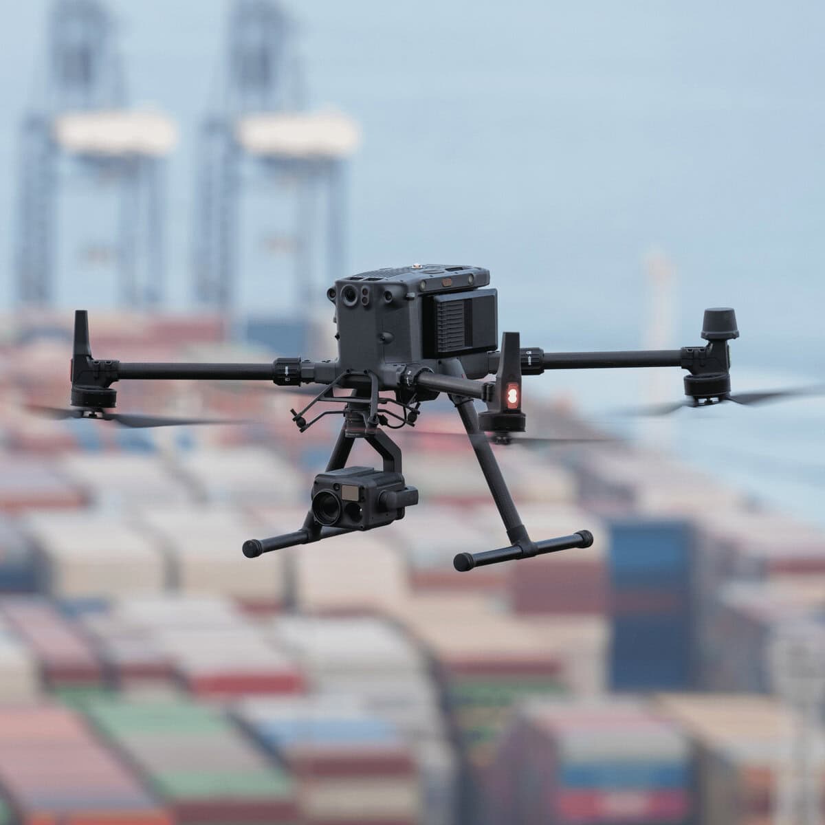
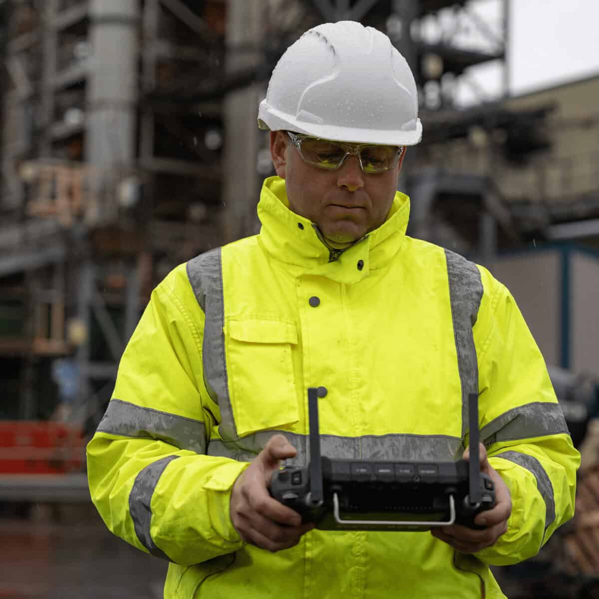
  2. Construction and Site Inspections: Surveying engineers can employ the drone for site inspections, construction progress monitoring, and quality control, quickly identifying issues and tracking project advancements.

  3. Agriculture and Crop Analysis: Equipped with multispectral sensors, it’s valuable for crop health analysis in agriculture, allowing farmers to make data-driven decisions to optimize crop yields.

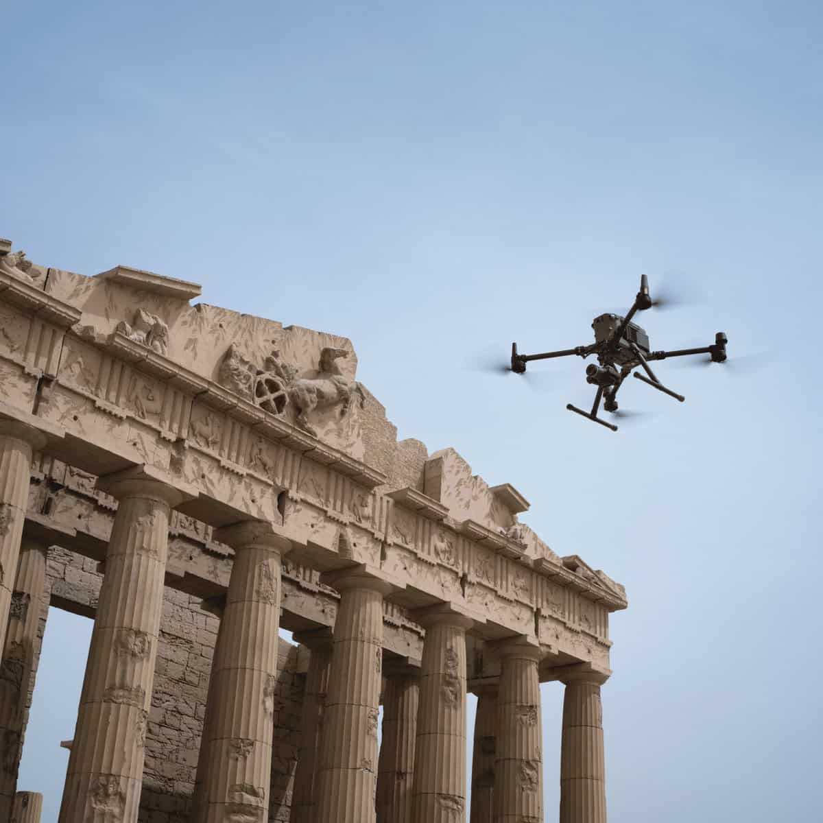
  4. Environmental Assessments: Surveyors can utilize the Matrice 350 RTK for environmental assessments, wildlife tracking, and natural resource monitoring, providing critical data for research and conservation efforts.

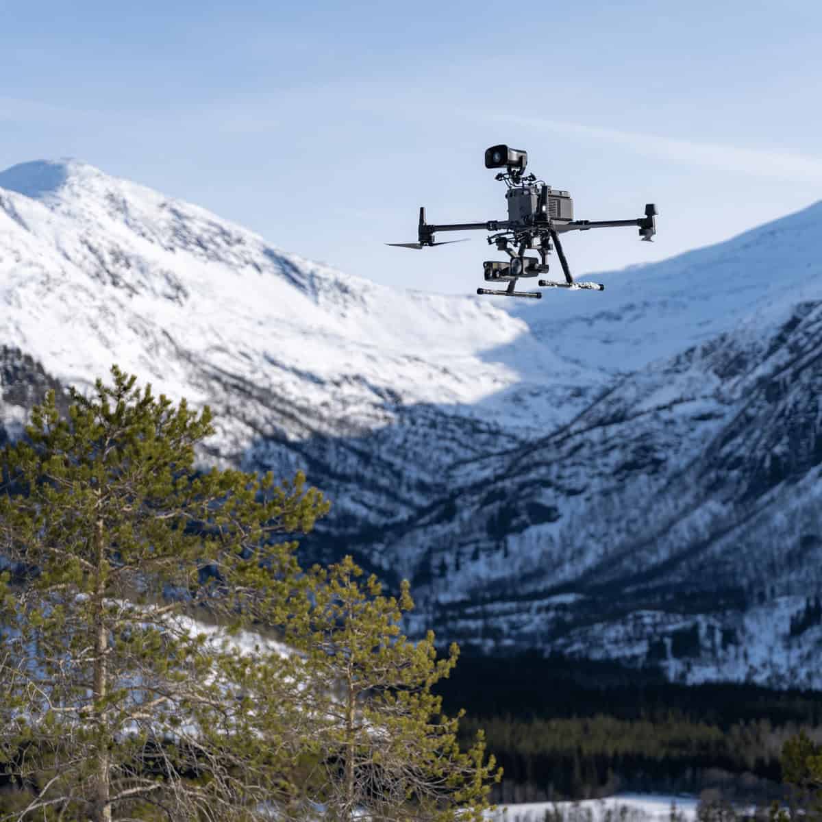
  5. Search and Rescue: Thanks to its ability to operate in challenging conditions, the drone is a reliable asset for search and rescue missions, delivering aerial support in emergency scenarios.

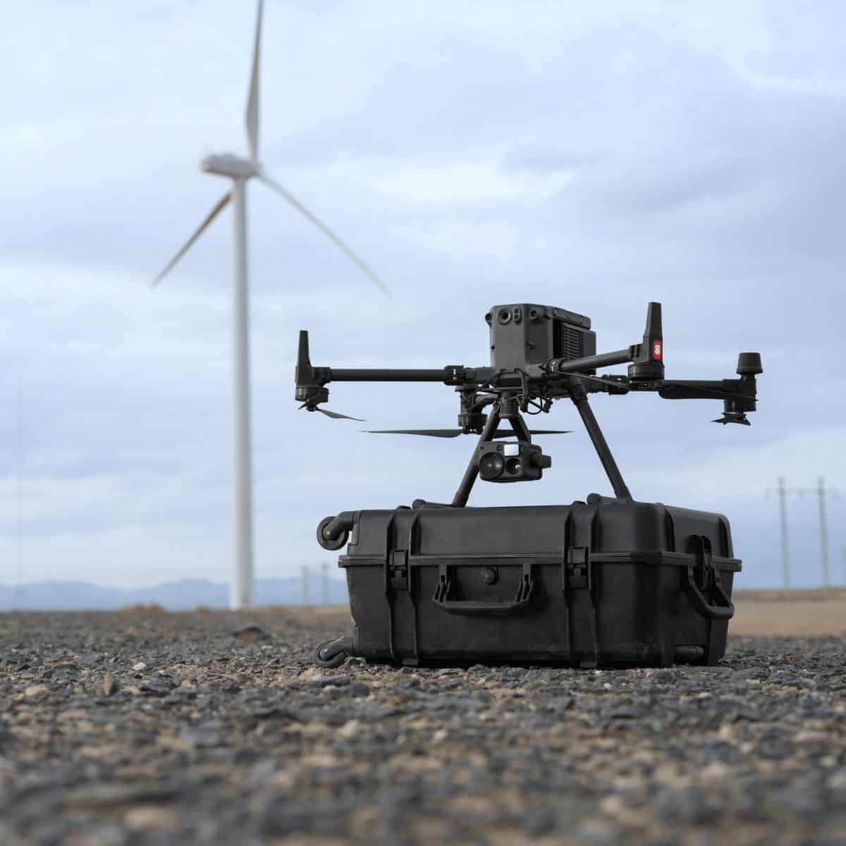
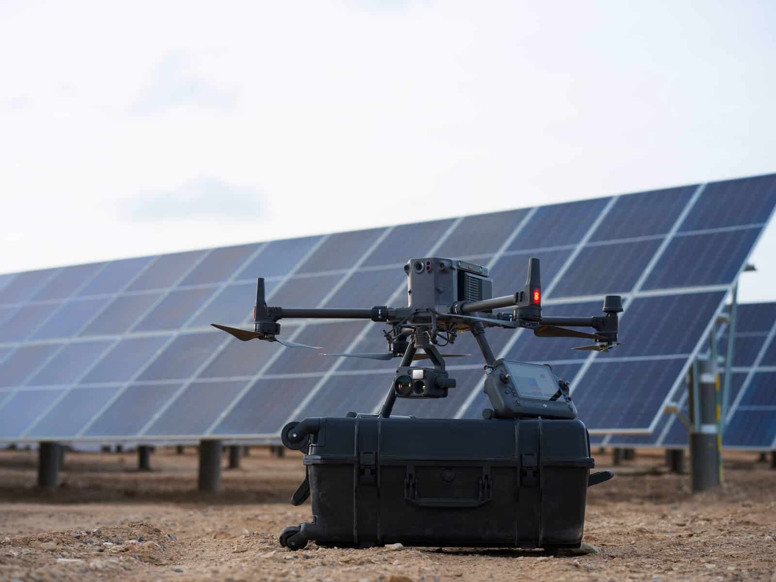
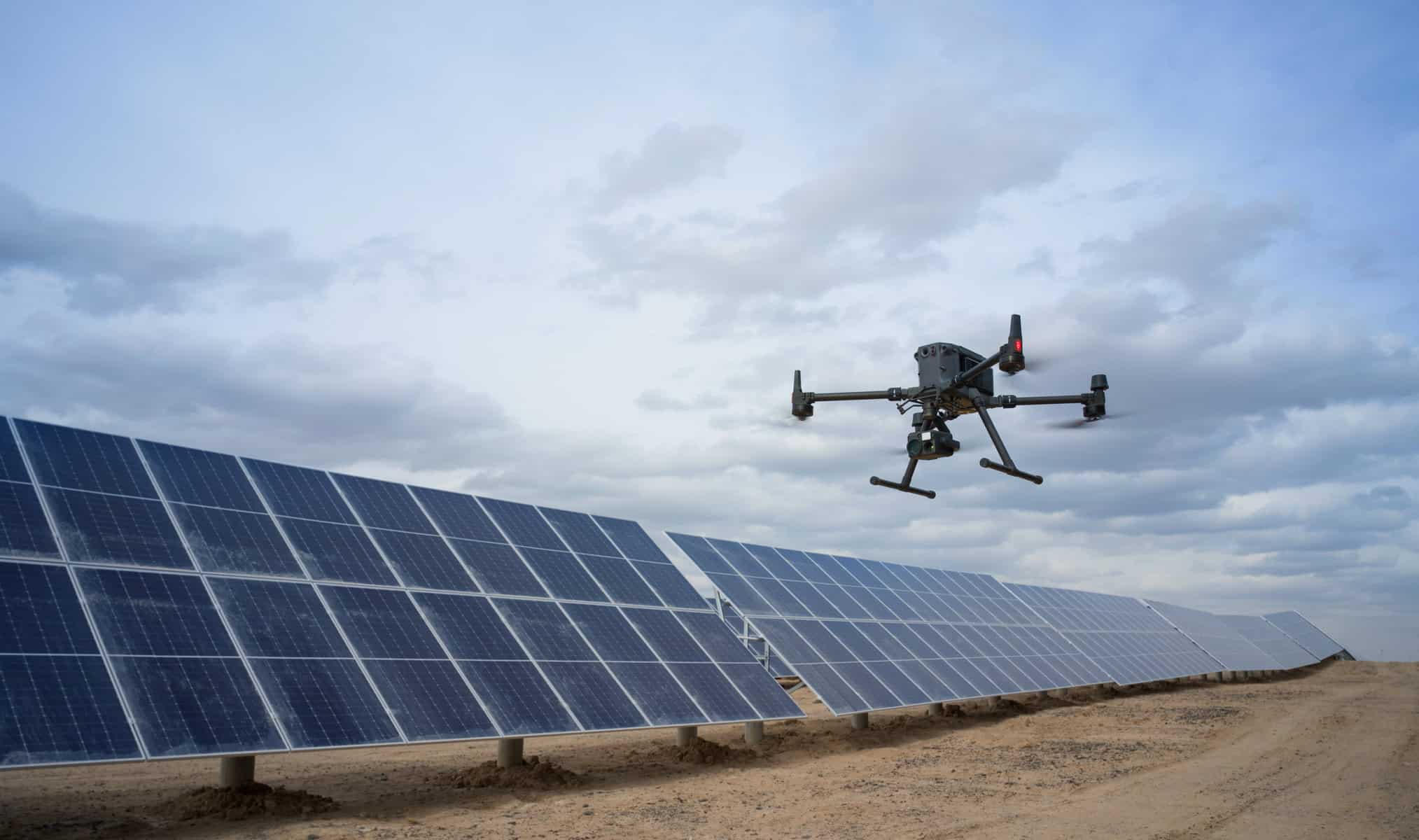
  6. Infrastructure Inspections: Infrastructure inspections, such as power lines, pipelines, and bridges, benefit from the drone’s ability to access hard-to-reach areas and capture high-resolution imagery for assessment.

Benefits:

The DJI Matrice 350 RTK offers numerous benefits to surveying engineers:

  1. Precision: Its RTK system provides exceptional precision, ensuring that data collected is highly reliable, a fundamental requirement in surveying.

  2. Efficiency: The extended flight time and versatile payload options enhance task efficiency, enabling surveying engineers to cover more ground in a single flight.

  3. Safety: The triple redundancy and obstacle avoidance features enhance flight safety, reducing the risk of accidents and damage to the drone.

  4. Versatility: With its ability to carry various payloads, it serves as a versatile tool for multiple surveying applications, reducing the need for multiple specialized drones.

  5. Reliability: Its rugged design and robust construction make it dependable even in challenging environmental conditions, ensuring reliable performance in the field.

  6. Advanced Technology: The drone incorporates intelligent flight modes and features that simplify mission planning and execution, reducing the workload on surveying engineers and enabling them to focus on data collection and analysis.

Reviews

There are no reviews yet.

Be the first to review “DJI Matrice 350 Enterprise RTK – LiDAR and Photogrammetry”

Your email address will not be published. Required fields are marked *