

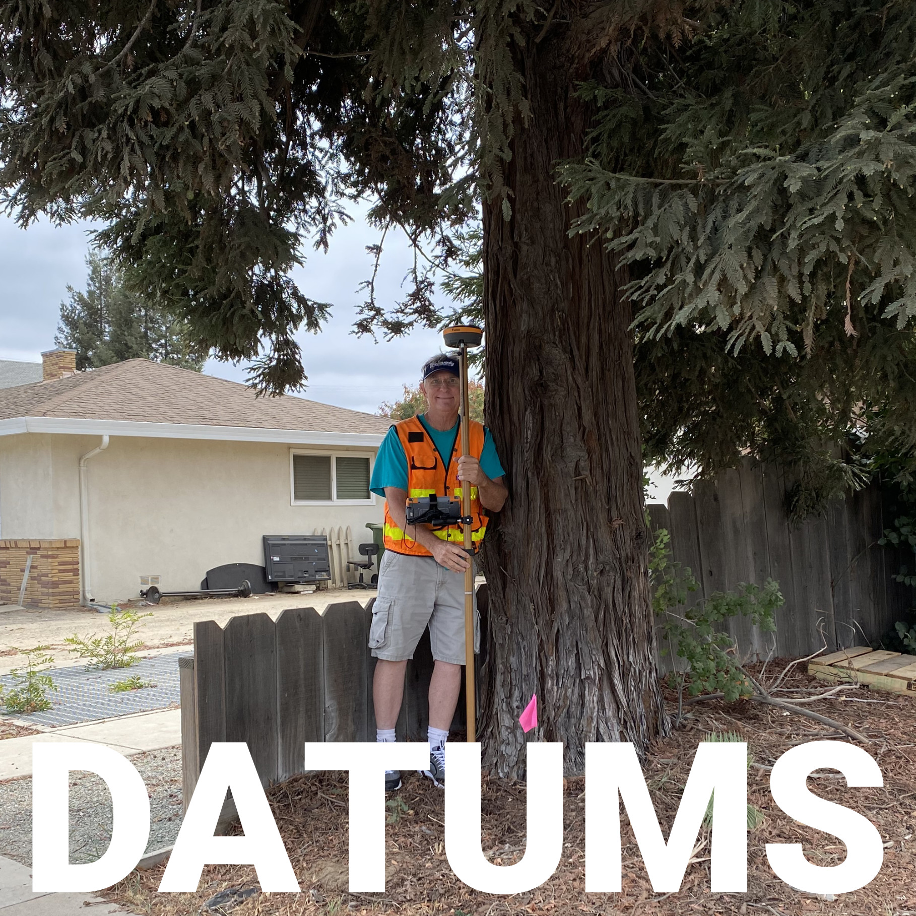
A survey crew in Ohio ties into a control monument that was set decades ago, runs their RTK rover, and gets a coordinate that’s off by nearly two meters from what the original monument record shows. Nothing is broken. No equipment malfunctioned. The crew just collected data in WGS84 while the monument was published in NAD83, and the gap between those two datums has been quietly growing for years.
This kind of mismatch shows up more often than most surveyors expect, and understanding why it happens is the difference between catching an error at your desk and catching it after a client calls asking why their fence line doesn’t match the plat.
What NAD83 and WGS84 Actually Are
The Core Difference: A Fixed Plate vs. a Moving Globe
Why the Gap Keeps Growing
Where This Shows Up in Real Survey Work
Which Datum Should You Actually Use
Transforming Between the Two
The Datum You Choose Writes the Rules for Everything After It
NAD83, the North American Datum of 1983, is the reference system built specifically for North America. It replaced the older NAD27 and was designed to work with satellite-based positioning rather than the ground-based triangulation methods of the past. NAD83 is tied to the North American tectonic plate, which means it moves along with the continent.
WGS84, the World Geodetic System of 1984, is a global datum maintained by the National Geospatial-Intelligence Agency. It was built for worldwide use, particularly GPS, and its reference frame is anchored to the Earth’s center of mass rather than to any single continent. Every GPS satellite broadcasts positions referenced to WGS84, which is why it functions as the default datum for consumer GPS devices, drones, and most navigation systems.
Both datums are geocentric in origin, both rely on an ellipsoid to approximate the Earth’s shape, and at first glance they look nearly interchangeable. In practice, the gap between them is a moving target.

The real distinction between NAD83 and WGS84 comes down to what each one is anchored to.
For a surveyor, this isn’t an abstract geodesy debate. It determines whether a boundary line, a construction stakeout, or a monument tie matches the record it’s supposed to match.
WGS84 has gone through several internal updates, often called “G” realizations, to keep it aligned with the International Terrestrial Reference Frame. NAD83 has also been re-realized multiple times, but its purpose has stayed constant: keep coordinates consistent with the North American landmass, not with the planet as a whole.
That design choice is intentional. Land records, property boundaries, and infrastructure projects need coordinates that don’t shift every time a new global reference frame is published. WGS84, by contrast, needs to track the Earth’s true motion for satellite navigation to remain accurate worldwide. Neither approach is flawed. They simply serve different purposes, and that difference in purpose is exactly why the two datums have been drifting apart since 1983.
The datum question rarely causes problems in isolation. It becomes an issue when data collected under one datum gets combined with data referenced to the other, often without anyone noticing until coordinates don’t line up.
A properly configured GNSS receiver and data collector, paired with correctly matched project settings, prevents most of these issues before they start. This is where equipment setup and workflow discipline matter as much as the datum choice itself, and it’s a large part of what firms like Bench-Mark spend time troubleshooting with clients who inherited legacy data or mixed-source files.
For most surveying, mapping, and civil engineering work in the United States, NAD83 remains the standard. It’s what state plane coordinate systems are built on, what most legal descriptions reference, and what local government GIS departments typically expect for deliverables.
Field crews running reliable RTK GPS survey equipment can typically set the target datum directly in the data collector software, which handles the transformation automatically rather than leaving it to a manual conversion after the fact. That single setting, checked at the start of a project, prevents the vast majority of datum-related headaches down the line.

When project requirements demand it, converting between NAD83 and WGS84 is a solved problem, just not always a simple one. The National Geodetic Survey publishes tools, including the Horizontal Time-Dependent Positioning (HTDP) utility, specifically to shift coordinates between datum realizations and epochs.
Modern survey software and many GNSS controllers can apply these transformations automatically, provided the correct datum and epoch are selected before data collection begins rather than after.
The tricky part isn’t the math. It’s knowing that a transformation is needed in the first place, which is why understanding the underlying difference between these two systems matters even for surveyors who rarely touch the conversion tools directly.
Every coordinate a survey crew collects carries an invisible assumption about which Earth model it’s measured against. NAD83 and WGS84 will keep drifting apart as the North American plate continues its slow crawl across the globe, and that drift will keep mattering for anyone whose work depends on centimeter-level accuracy.
Getting the datum right at the start of a project costs almost nothing. Sorting out a mismatch after the fact, once boundary lines or construction stakes are already in the ground, costs considerably more.
Bench-Mark works with surveying, construction, and engineering teams across the US to make sure equipment configurations match project requirements from day one, so a datum question never turns into a field problem.
