Home > GeoMeasure

About the GeoMeasure brand and Bench Mark
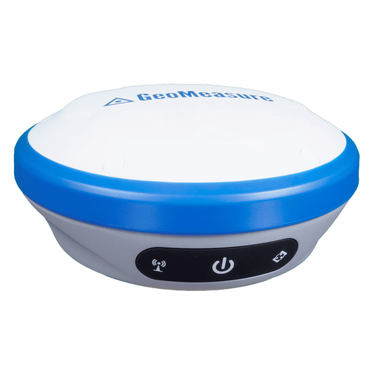
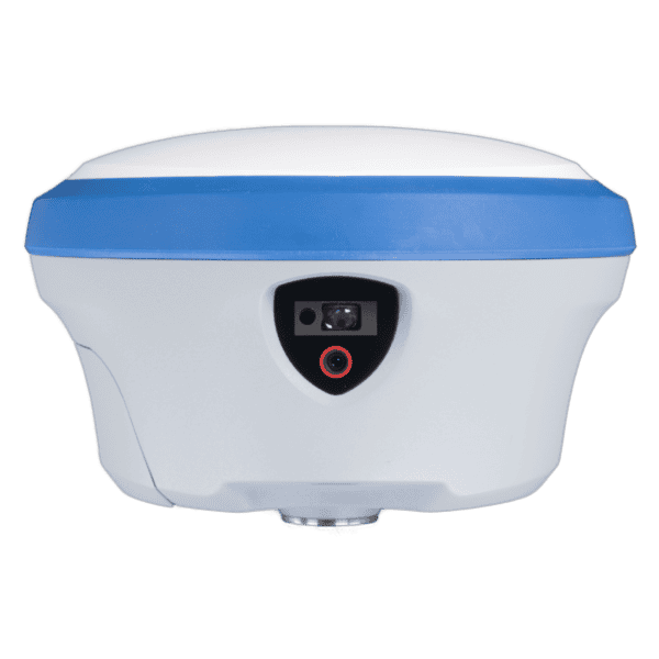
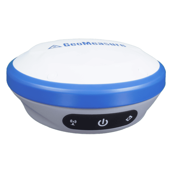
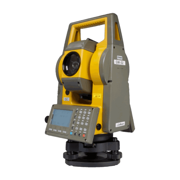
GeoMeasure is known for its exceptional selection of RTK GNSS equipment, supplies, and accessories. GeoMeasure distributes reliable, well-made equipment, and we are pleased to supply that equipment at an affordable price. From total stations to builder’s levels, antennas and tripods you can find all the GeoMeasure products you need at Bench Mark.
High-Precision GNSS RTK Performance
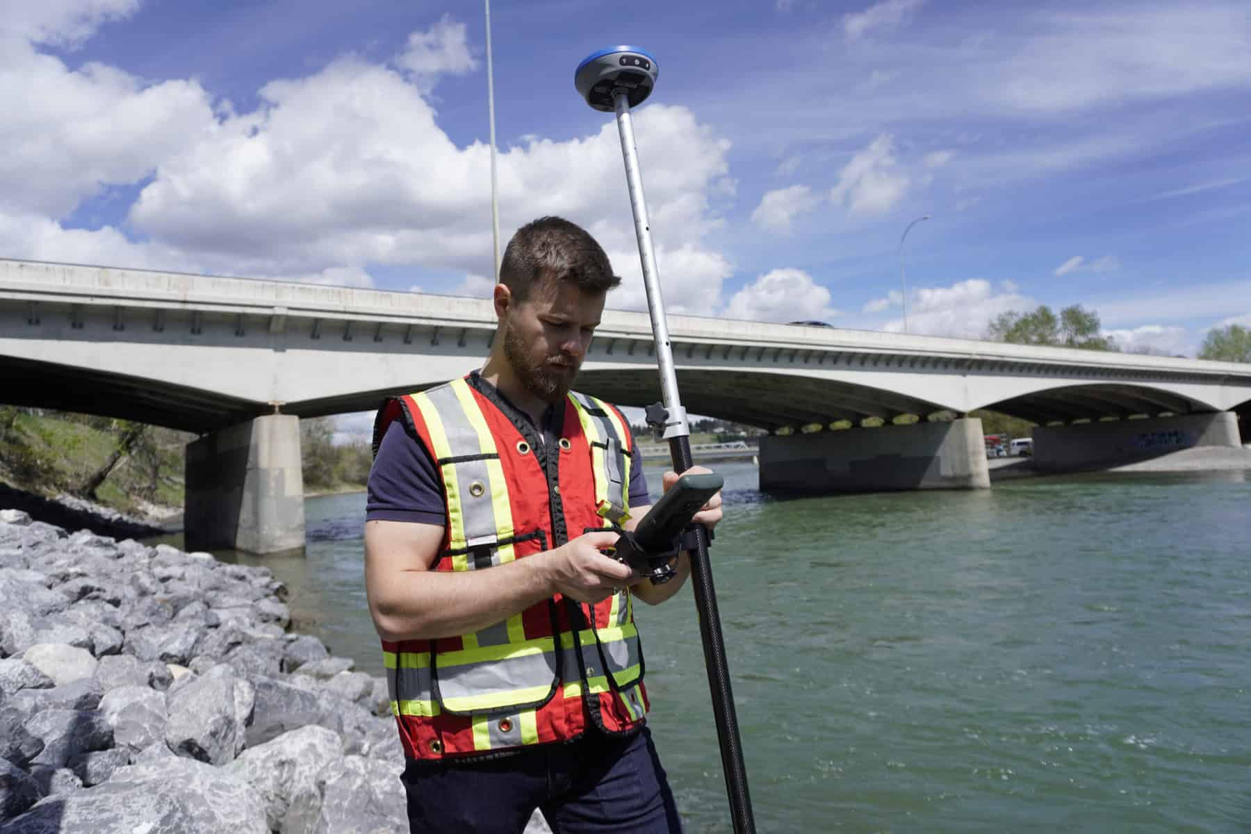
GeoMeasure receivers deliver centimeter-level accuracy, making them ideal for surveying, construction, and engineering applications.
Complete Equipment Ecosystem
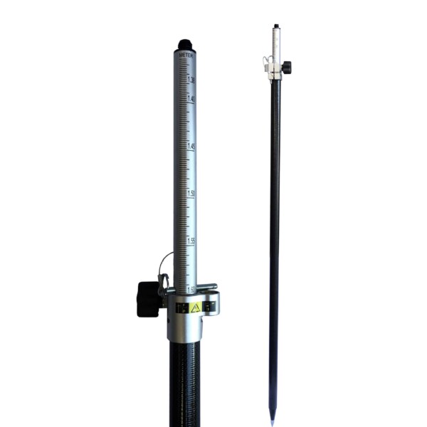
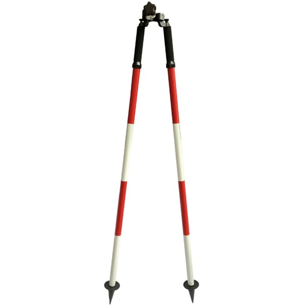
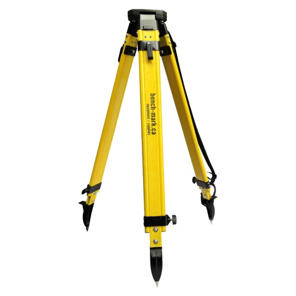
From RTK systems to total stations, tripods, poles, and controllers, GeoMeasure offers everything needed for a complete workflow.
Rugged & Field-Ready Design
Built to withstand harsh environments, GeoMeasure equipment performs reliably in demanding job site conditions.
User-Friendly Operation
Intuitive controls and streamlined workflows help reduce training time and improve efficiency in the field.
Affordable Professional Solutions
GeoMeasure provides high-performance equipment at a competitive price point, making it accessible without compromising quality.
Versatile Compatibility
GeoMeasure accessories and tools integrate easily with a wide range of surveying equipment and workflows.
Reliable Data Collection
Consistent accuracy ensures dependable results for mapping, layout, and measurement tasks.
Showing 1–12 of 44 results


GeoMeasure is a line of professional surveying instruments and accessories, including RTK GNSS receivers, total stations, digital levels, tripods, poles, and field controllers. These tools are designed for land surveying, construction layout, and geospatial data collection.
Yes. GeoMeasure RTK GNSS receivers are designed for high-precision positioning, allowing surveyors to achieve centimeter-level accuracy when used with base-rover setups or network RTK correction services.
GeoMeasure instruments are commonly used for land surveys, construction layout, engineering measurements, infrastructure mapping, and GIS data collection.
Yes. The GeoMeasure product range includes GNSS RTK receivers, manual total stations, digital levels, and surveying accessories, allowing survey crews to build a complete field workflow.
Many GeoMeasure accessories such as tripods, poles, bipods, and mounts are designed to be compatible with a wide range of GNSS receivers, total stations, and surveying instruments from different manufacturers.
A typical RTK surveying setup includes a GNSS receiver (base and rover), data collector or tablet, correction source (radio or network RTK), and field accessories such as tripods or survey poles.
Everything you need to know
Choosing the right GeoMeasure solution depends on your project requirements, accuracy needs, and workflow.
1. Define Your Application
GNSS RTK → High-precision surveying and layout
Total Stations → Line-of-sight measurement and construction
Accessories → Support and enhance field workflows
2. Determine Accuracy Requirements
Centimeter-level: Surveying and engineering
Sub-meter: Mapping and general field use
3. Consider Your Workflow
Need mobility → Lightweight GNSS systems
Need precision layout → Total stations and digital levels
4. Evaluate System Components
A complete setup may include:
5. Budget & Scalability
GeoMeasure offers flexible solutions that allow you to scale your equipment as your project needs grow.
Feature | GeoMeasure | Trimble | Leica Geosystems | Topcon |
GNSS RTK Accuracy | ✔ Centimeter-level | ✔ | ✔ | ✔ |
Product Range | GNSS, total stations, accessories | GNSS-focused | GNSS-focused | GNSS + construction |
Ease of Use | ⭐⭐⭐⭐⭐ (user-friendly) | ⭐⭐⭐⭐ | ⭐⭐⭐⭐ | ⭐⭐⭐⭐ |
Durability | ✔ Rugged design | ✔ | ✔ | ✔ |
Price | 💲💲 (high value) | 💲💲💲💲 | 💲💲💲💲 | 💲💲💲 |
Compatibility | ✔ Flexible | Limited | Limited | Moderate |
Best For | Value + complete solutions | Enterprise | High-end precision | Construction workflows |
Surveying, construction, engineering, and mapping workflows
Land Surveying
GeoMeasure GNSS receivers and total stations are widely used for boundary surveys, topographic mapping, and cadastral work. Accurate positioning ensures reliable results across all survey types.
Construction & Site Layout
For construction professionals, GeoMeasure equipment provides precise layout, grade checking, and positioning tools to keep projects on track and within tolerance.
Civil Engineering
Engineers rely on GeoMeasure tools for infrastructure development, road layout, and site planning. Consistent accuracy supports better project outcomes.
GIS & Mapping
GeoMeasure solutions are ideal for mapping professionals who need efficient data collection and reliable positioning across large areas.
General Contracting & Field Work
From builders to utility contractors, GeoMeasure equipment supports a wide range of field applications where precision and durability are essential.


Reliable tools for accurate and efficient field workflows
GeoMeasure surveying equipment is used across construction, engineering, and land development projects where accuracy and durability are essential. These instruments are designed to perform reliably in demanding field conditions while supporting tasks such as site layout, mapping, and data collection.
The GeoMeasure lineup includes GNSS receivers, total stations, controllers, tripods, and accessories that support a wide range of surveying workflows. Each system is built for consistent performance and ease of use, helping crews maintain productivity and accuracy in the field.
What We Offer
This approach ensures you get dependable equipment and the support needed for consistent results on every project.