


A lender wires seven figures for a commercial property closing, and the entire transaction hinges on a document most buyers never read twice: the survey. If that boundary is off by even a few centimeters, or an easement gets missed, the title company’s exception list grows, financing stalls, and the deal can unravel days before closing. This is exactly why an ALTA/NSPS land title survey exists, it’s the industry’s answer to “how do we know this property is exactly what everyone thinks it is.” But behind that reassurance is a demanding set of measurement standards, and meeting them requires equipment that most general-purpose survey setups simply aren’t built to satisfy.
What Makes an ALTA/NSPS Survey Different
The Accuracy Bar You’re Actually Working To
Why Equipment Choice Isn’t a Minor Detail Here
Bringing It Together in the Field
A Standard That Rewards the Right Setup
An ordinary boundary survey confirms property lines. An ALTA/NSPS land title survey goes considerably further, it’s a jointly published standard from the American Land Title Association and the National Society of Professional Surveyors, built specifically so title insurers can remove standard survey exceptions from a policy. The current version took effect in February 2021, replacing the 2016 requirements, and it lays out exactly what a surveyor must locate, measure, and certify before a lender or title company will rely on the result.
That’s a meaningfully higher bar than most fieldwork. A few things separate it from a routine boundary retracement:
None of that is achievable with loose accuracy targets. The standard is deliberately specific about what “accurate enough” means.
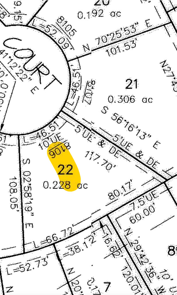
This is where a lot of otherwise capable survey setups fall short. The 2021 standards define Relative Positional Precision as the allowable uncertainty between a boundary corner monument and the monument at the immediately adjacent corner, not the whole parcel, but corner to corner, which is a tighter and more practically meaningful test. The tolerance works out to roughly 2 cm plus 50 parts per million of the distance between the two points, at a 95 percent confidence level. Practically speaking, that leaves almost no room for a shaky base station, a poorly calibrated antenna, or an over-relaxed RTK tolerance setting in the field controller.
Meeting that tolerance consistently, on real job sites with real obstructions, comes down to three things:
On a routine topo or a construction stakeout, a slightly loose fix might cost you a callback. On an ALTA/NSPS land title survey, it can mean a rejected certification, a title company holding up closing, or a surveyor’s stamp on a document that doesn’t actually meet the standard it claims to meet. That’s a different level of consequence, and it’s why equipment selection deserves real attention rather than defaulting to whatever’s already on the truck.
For the open portions of a site (large commercial parcels, industrial yards, agricultural-adjacent parcels being converted for development) a dependable RTK GNSS receiver like the Hemisphere S631 is typically the fastest way to establish and check boundary control across the property. Fast reacquisition and strong multipath rejection matter here, because ALTA work often means walking a full perimeter and returning to verify corners, not just collecting a handful of shots and moving on.
But almost no ALTA parcel is entirely open. Property lines run along fences, close to existing buildings, under tree cover, or near retaining walls and utility structures, all places where GNSS accuracy degrades or drops out completely. That’s where a total station, such as the GeoMax Zoom95, becomes essential rather than optional. Its role on an ALTA job isn’t just backup; it’s often the primary tool for the corners that actually determine whether the survey passes muster, since optical measurement doesn’t care about sky visibility the way GNSS does.

The practical reality of ALTA work is that almost every job ends up being a hybrid one. A typical sequence looks something like this:
The software tying this together matters just as much as the hardware. A field platform that keeps GNSS and total station observations inside a single job file, on a single coordinate system, saves the surveyor from manually reconciling two datasets and reduces the chance of a control mismatch making it into the final certification. This is one of the areas Bench-Mark spends the most time helping clients set up correctly, because a misconfigured data collector is a more common source of ALTA rework than most crews expect.
ALTA/NSPS land title survey standards exist because the parties relying on the result (lenders, title insurers, attorneys, buyers) need more certainty than a routine boundary line offers. Meeting that standard consistently isn’t about buying the single most expensive instrument on the market; it’s about pairing GNSS and optical equipment that genuinely complement each other, running software that keeps the data unified, and building a field workflow that checks accuracy before the crew ever leaves the site. Get that combination right, and an ALTA survey stops being the bottleneck in a transaction and becomes exactly what it’s meant to be: the document everyone else can trust without a second look.
