


There’s a moment every crew chief knows well: the rover is holding a rock-solid fix in the open parking lot, then the operator walks toward the building line and the satellite count drops, the fix flickers, and the point quality goes from centimeter-level to guesswork. It’s not a hardware failure. It’s just physics. GNSS signals need a clear view of the sky, and job sites rarely offer one everywhere. The smartest crews in the U.S. stopped treating this as a limitation years ago. Instead, they built workflows where RTK GNSS and total stations cover for each other’s blind spots, and the result is a survey that’s faster in the open and just as sharp under cover.
Two Technologies, Two Different Strengths
Where a Hybrid Approach Actually Pays Off
How the Two Systems Work Together in the Field
The Equipment That Makes It Practical
Choosing the Right Balance for Your Crew
Two Instruments, One Workflow, No Compromises
RTK GNSS and conventional optical instruments were never really competitors, they solve different problems.
Relying on just one system means fighting its weaknesses on every job. Relying on both means the crew always has the right tool ready, without swapping vehicles or scheduling a second site visit.
A hybrid workflow isn’t a niche technique anymore, it’s become close to standard practice on American job sites. A few scenarios show why:
The pattern is consistent: GNSS moves you across the site quickly, and the total station finishes the job where precision and visibility control take priority.
The technical piece that makes this workflow click is control. RTK GNSS is typically used to establish or verify control points across a site, quickly, and without needing intervisibility between them. The total station then resects off those same control points to tie its local measurements into the same coordinate system. Done correctly, a crew can move seamlessly between a GNSS rover and an optical setup without introducing a coordinate mismatch between the two datasets.
A few practices keep that handoff clean:
That last point matters more than crews sometimes expect. On a mixed dataset, quality control gets significantly easier when there’s a clear record of collection method next to every coordinate.
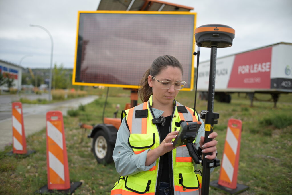
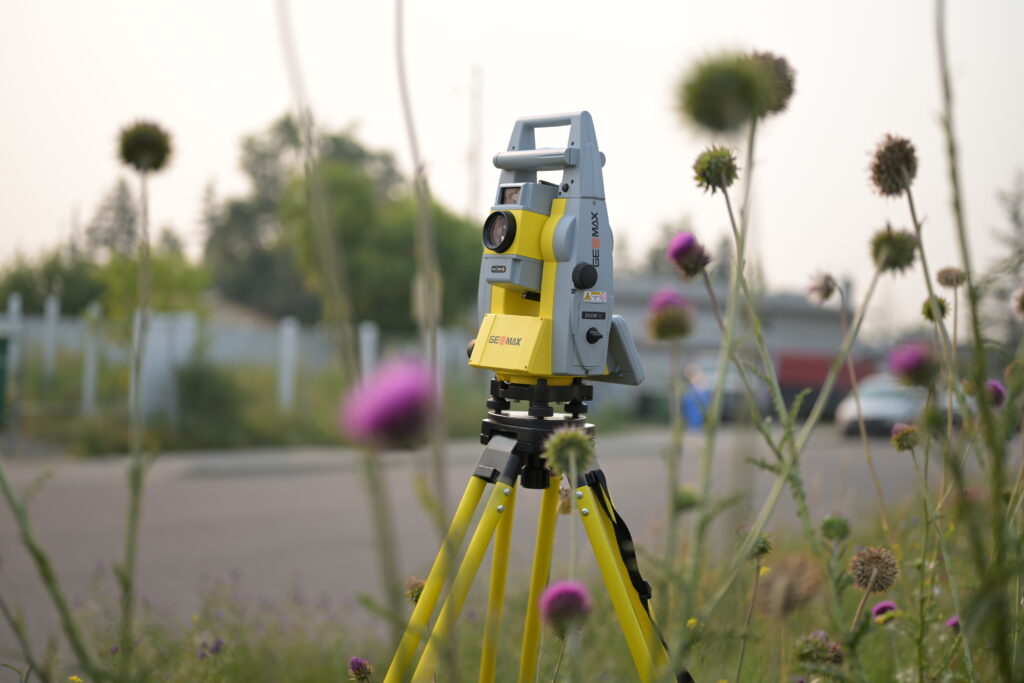
None of this works without hardware and software built to move between modes without friction. On the GNSS side, a receiver like the Hemisphere S631 is designed for exactly the kind of fast, reliable RTK GPS performance that makes the open-site portion of a hybrid job efficient, strong multipath rejection and quick reacquisition matter when a crew is moving between clear sky and partial obstruction throughout the day. On the optical side, an instrument such as the GeoMax Zoom95 gives crews the precision and one-person robotic operation needed for the detail work GNSS can’t reach.
Tying it together is the field software. Since both instrument types feed into the same job, the data collector needs to handle the switch without forcing a re-entry of control or a manual coordinate translation. This is where a platform like FieldGenius earns its keep, running RTK and total station measurements inside a single project file, with the same coordinate system and point database, so the crew never has to stop and reconcile two separate surveys back at the office. Bench-Mark’s teams routinely help crews configure this exact setup, since getting the software talking to both instrument types correctly on day one avoids a lot of cleanup work later.
Not every project needs both instruments in the truck every day. A wide-open topo survey with no structures nearby might run entirely on RTK. A tight urban layout might barely touch the GNSS rover at all. The real skill is recognizing, project by project, where the balance sits, and having both tools available so the decision is made by the site conditions, not by what happens to be in the vehicle that day.
Crews that build this flexibility into their standard kit tend to spend less time fighting equipment limitations and more time collecting usable data. Bench-Mark works with survey, construction, and engineering teams across the U.S. to put together GNSS and total station combinations that match how a crew actually works, not a one-size-fits-all package. If your current setup is forcing you to choose between speed and precision on every job, a hybrid workflow is usually the fix.

The best survey crews in the field today aren’t choosing between RTK GNSS and total stations, they’re using each where it performs best and letting the field software handle the rest. That combination turns two separate technologies into a single, efficient workflow capable of covering open ground and tight detail in the same day, without sacrificing the accuracy either method is known for.
