
Home > GIS Systems
Why trust Bench Mark
GIS mapping equipment helps utility companies, municipalities, contractors, and field crews collect accurate location data faster and more efficiently. Compared to traditional survey-grade RTK systems, modern GIS survey equipment is easier to deploy while still providing reliable positioning for mapping, asset management, and infrastructure documentation.
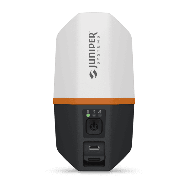
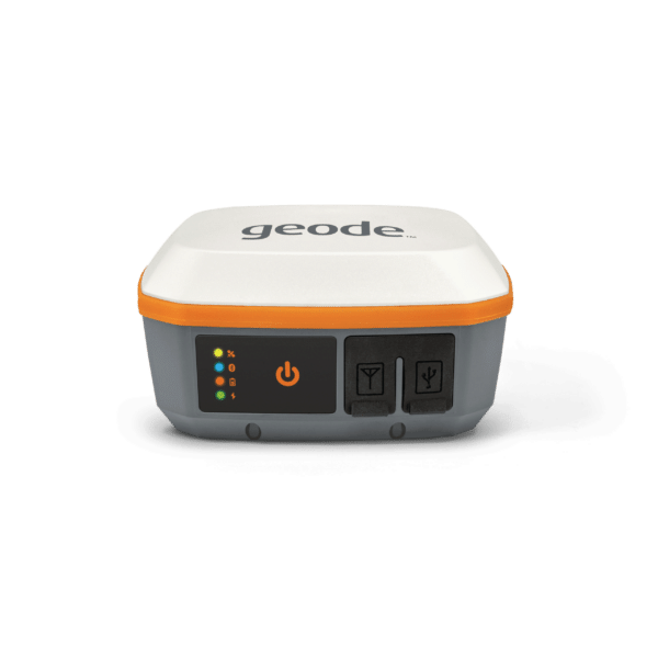
We offer professional GIS equipment including GNSS receivers like the Juniper Geode GNS3 and GeoMeasure PinPoint, rugged field tablets such as the BMT8, GIS antennas including the GeoMax Zenith06, and professional mapping software like Juniper Uinta. These systems are designed to support utility mapping, environmental projects, right-of-way verification, and mobile field data collection workflows.
Our goal is to provide practical GIS mapping solutions that integrate easily into existing workflows while delivering dependable field performance and long-term reliability.
Showing all 7 results


GIS equipment is widely used in utilities, public works, environmental management, municipalities, telecommunications, and infrastructure projects. These systems help crews collect and manage accurate field data for mapping assets, inspections, and maintenance records.
Many GIS receivers provide reliable sub-meter positioning for everyday mapping workflows. Systems like the Juniper Geode GNS3 and GeoMeasure PinPoint can improve accuracy further when paired with correction services or external antennas.
Most GIS systems are compatible with major mapping platforms including ArcGIS, Survey123, Uinta, and FieldGenius. Many receivers support Bluetooth connectivity and standard NMEA output for flexible workflow integration.
No. GIS survey equipment is designed for efficient field deployment and mobile data collection. Many crews can begin collecting data quickly with minimal training compared to traditional survey-grade RTK systems.
Yes. Many GIS receivers, tablets, and antennas are built for demanding field conditions and include rugged housings, long battery life, and weather-resistant designs for daily outdoor use.
Important factors include positioning accuracy, software compatibility, durability, battery life, workflow integration, and the type of field data being collected. The right system depends on your mapping and asset management requirements.
Dedicated to outstanding quality
We offer GIS equipment designed for reliable field performance across mapping, utility, and infrastructure applications. Our selection includes professional GNSS receivers, GIS antennas, field tablets, and mapping software that help improve mobile data collection and workflow efficiency.
Modern GIS equipment helps crews document assets, collect accurate spatial data, and manage field operations more effectively. Solutions like the Juniper Geode series, GeoMeasure PinPoint receiver, and GeoMax Zenith06 antenna provide dependable positioning performance for a wide range of GIS applications.
We focus on GIS survey equipment that balances accuracy, ease of use, and long-term reliability for real-world field conditions.


Trust Bench Mark with your projects
We provide GIS equipment and GNSS solutions for professionals across North America. From utility mapping and municipal infrastructure projects to mobile asset management workflows, we help customers choose reliable systems that fit their operational needs.
Our team provides support for GIS receivers, mapping software, antennas, and field hardware to help build efficient workflows and maintain dependable field performance. Whether you are expanding an existing GIS program or building a new mobile mapping workflow, we offer practical GIS survey equipment designed for long-term use.