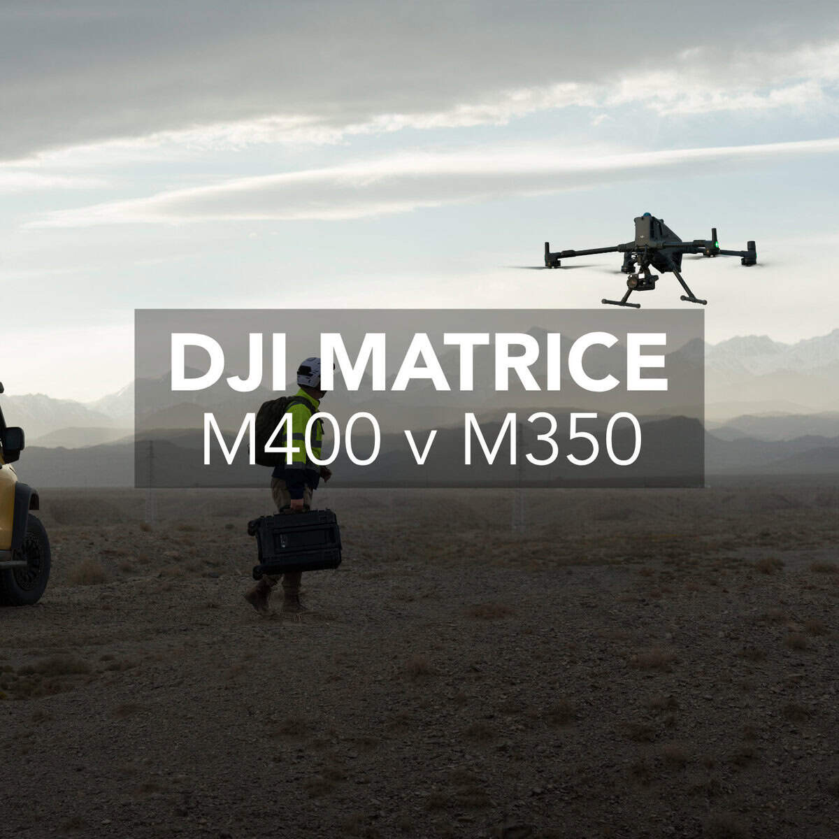
DJI Matrice 350 vs. Matrice 400 RTK: Features, Accuracy & Mapping Workflows
If you’re looking at upgrading your drone fleet for surveying, mapping, or inspection workflows, there’s a good chance the new DJI Matrice 400 RTK has

If you’re looking at upgrading your drone fleet for surveying, mapping, or inspection workflows, there’s a good chance the new DJI Matrice 400 RTK has
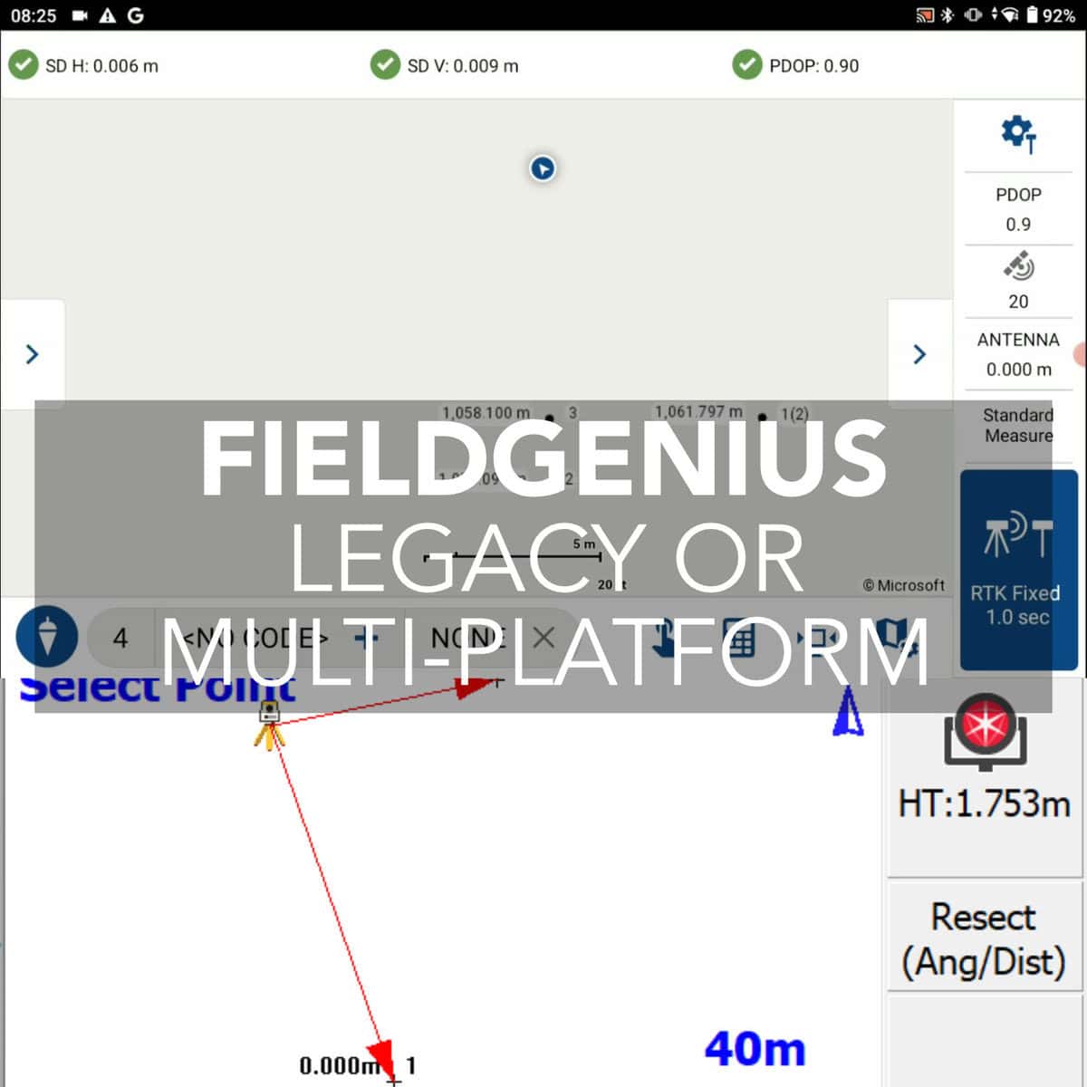
The software you choose plays a massive role in the daily efficiency of surveyors. In this article, we’ll break down the differences between MicroSurvey FieldGenius

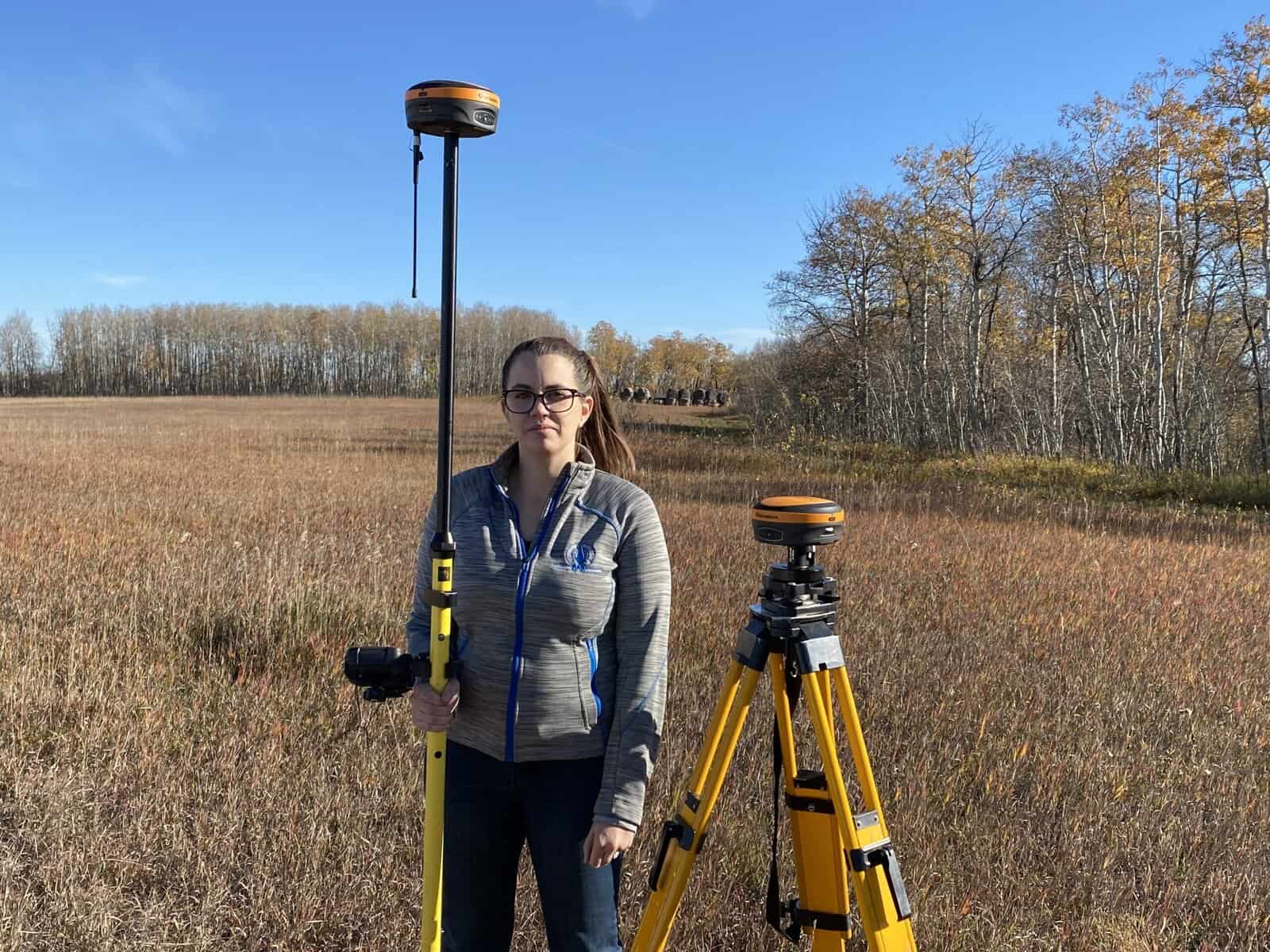
Drones with integrated RTK modules are changing how professionals approach surveying and construction site mapping. RTK drones are quite quickly becoming the best option for
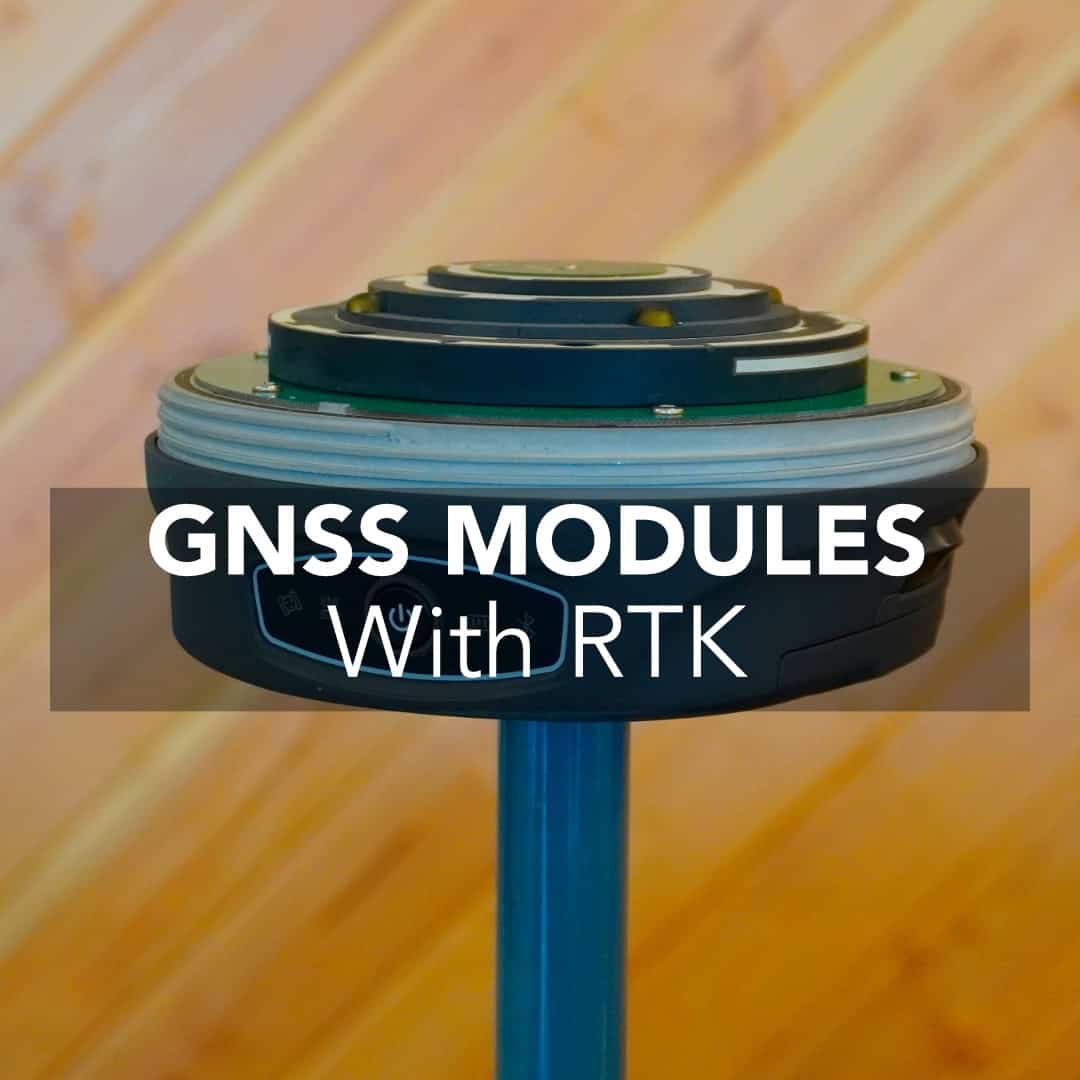
The GNSS module is the center of modern surveying transformation. The GNSS receiver module in your gear determines how fast and how accurately you get

GNSS rover is the crucial tool in the field, but with all the models, features, and software options out there, it’s easy to get overwhelmed.
To get the most out of your RTK receivers, you are going to need to set up your own RTK base. This will give you

In archaeology, context is everything. An artifact’s value doesn’t lie solely in what it is—it lies in where it was found. A meter might not
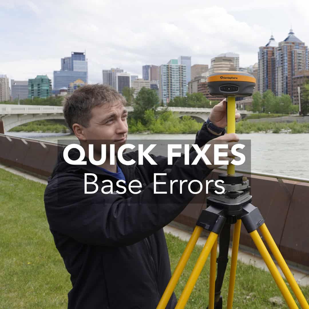
Troubleshooting Common Field Errors Setting up a base station correctly is critical when using RTK (Real-Time Kinematic) GPS for surveying. If your base isn’t right, your rover’s
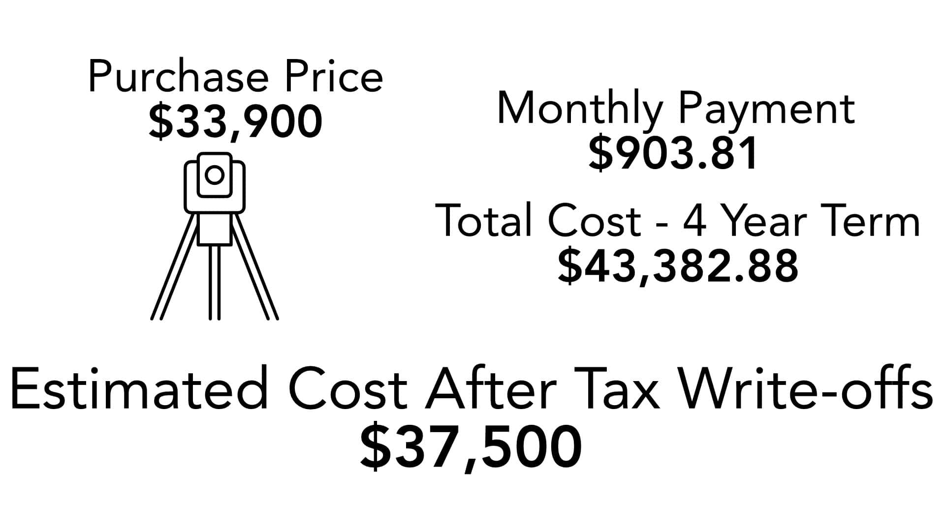
If you’re a land surveyor or construction professional eyeing a new RTK system or total station, you’re probably weighing the classic question: whether to purchase out right or