

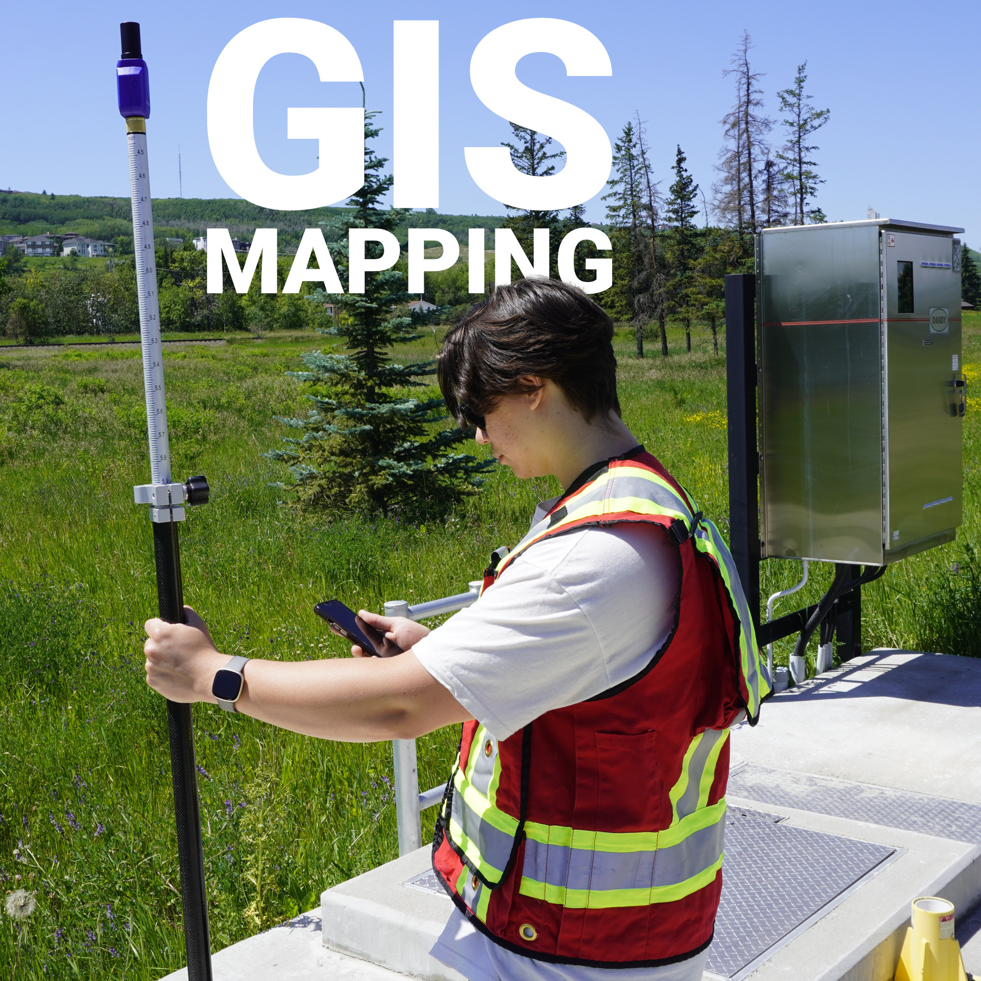
Every road you drive, every utility line buried beneath it, and every property boundary that defines what’s yours and what isn’t exists somewhere in a GIS. Geographic Information Systems quietly underpin an enormous share of American infrastructure.
The quality of every decision made from that data depends entirely on how accurately the underlying coordinates were collected in the first place. Bad GNSS data fed into a GIS creates a mapping error and propagates through every layer built on top of it, compounding into project failures, legal disputes, and expensive rework.
What Is GIS Mapping?
GIS Mapping Equipment: What the Job Actually Requires
How GNSS Data Gets Into a GIS
RTK in a GIS Context
Where GIS Data Goes to Work
Accurate Data In, Reliable Decisions Out
GIS mapping is the process of collecting, storing, analyzing, and displaying geographically referenced data, information tied to specific coordinates on the Earth’s surface. A GIS is a database where every feature, whether a property line, a storm drain, a transmission tower, or a soil sample location, carries both its spatial position and a set of attributes that describe it.
What makes GIS powerful is the ability to layer datasets on top of one another and find relationships that wouldn’t be visible any other way. A transportation planner might overlay traffic counts, road conditions, and parcel data to prioritize resurfacing budgets. An environmental consultant might combine elevation models, wetland boundaries, and soil permeability data to predict runoff patterns. In every case, the analysis is only as trustworthy as the spatial accuracy of the data underneath it.
For GIS to work at a professional level, coordinates must be referenced to a consistent, well-defined coordinate system and collected with sufficient precision for the intended application. That’s where GNSS and the professionals who deploy it properly enter the picture.

The equipment used to collect GIS data spans a wide range, and the right choice depends heavily on the accuracy requirements of the project.
At the lower end, consumer-grade smartphones and handheld GPS units can achieve two to five meter accuracy, which is sufficient for general asset tracking or reconnaissance work but falls far short of what engineering, survey, or utility-grade GIS demands. For professional applications, the standard tools are:
The Hemisphere S631, for example, is a receiver that Bench-Mark supplies to survey and GIS professionals across the U.S. It’s a multi-frequency, multi-constellation system capable of RTK performance, meaning the coordinates it records are reliable enough to feed directly into a GIS system of record without the positional uncertainty that plagues lower-cost equipment.
Software matters just as much as hardware. FieldGenius is the field data collection software that powers most of the RTK setups we sell, handling everything from coordinate system configuration to attribute data entry in a single workflow.
Collecting a GNSS coordinate in the field and getting it into a GIS accurately are two different problems. Several things have to align correctly between the instrument and the database for the data to land where it belongs.
The most fundamental is the coordinate system and datum. GNSS receivers compute positions referenced to a global datum like WGS84. Most U.S. GIS systems of record use NAD83 or a state plane coordinate system derived from it. These are not the same, and the difference matters at survey-grade accuracy. A datum transformation must be applied at some point in the workflow, and a misconfigured or missing transformation can shift data by several meters.
Ellipsoidal versus orthometric height is another frequent source of confusion. GNSS delivers height above the mathematical ellipsoid. Engineers and planners need height above mean sea level, which requires applying a geoid model correction. Skipping this step introduces vertical errors that can be significant on drainage, grading, or floodplain mapping projects.
Other common failure points include:
This is why field validation against known control points before starting a production data collection project is the only way to confirm that every part of the chain is configured correctly before you’ve collected thousands of points that may have to be thrown out.

RTK is often discussed as a surveying technology, but it’s increasingly the backbone of high-accuracy GIS workflows. Real Time Kinematic correction works by comparing the carrier phase signal from your GNSS receiver against the same signal received simultaneously at a known base station position. The difference between what the receiver observed and what the base station knows to be true gets applied as a correction, bringing rover positions down to centimeter-level precision in real time.
For GIS applications (utility mapping, environmental monitoring, infrastructure asset management), RTK means field crews can collect position and attribute data simultaneously with confidence that the coordinates will hold up when checked against survey control later. At Bench-Mark, we’ve helped teams across the country configure RTK setups specifically for GIS data collection workflows, matching receiver capability to network correction sources and ensuring the software is correctly configured for the target coordinate system before anyone goes to the field.

Once GNSS data is properly collected and imported into a GIS system, the applications are extensive. Land development firms use it to track grading progress against design surfaces. Utility companies use it to maintain accurate as-built records of buried infrastructure. Environmental consultants use it to document sampling locations and monitor change over time. Government agencies use it for everything from tax parcel maintenance to emergency response routing.
In each case, the GIS is only as useful as the data inside it. A parcel boundary off by three meters creates title disputes. A utility line mislocated by a foot creates excavation hazards. The investment in proper GNSS equipment and correct geodetic configuration isn’t overhead — it’s what makes the GIS worth having.
GIS systems have become infrastructure in their own right. The decisions made from them have consequences that outlast any individual project. Getting the spatial foundation right means understanding not just which GNSS receiver to deploy, but how coordinate systems, datum transformations, correction sources, and field validation all interact to determine whether your data belongs where you put it. That’s a more technical problem than most GIS users expect, and it’s one worth solving properly from the start.
