

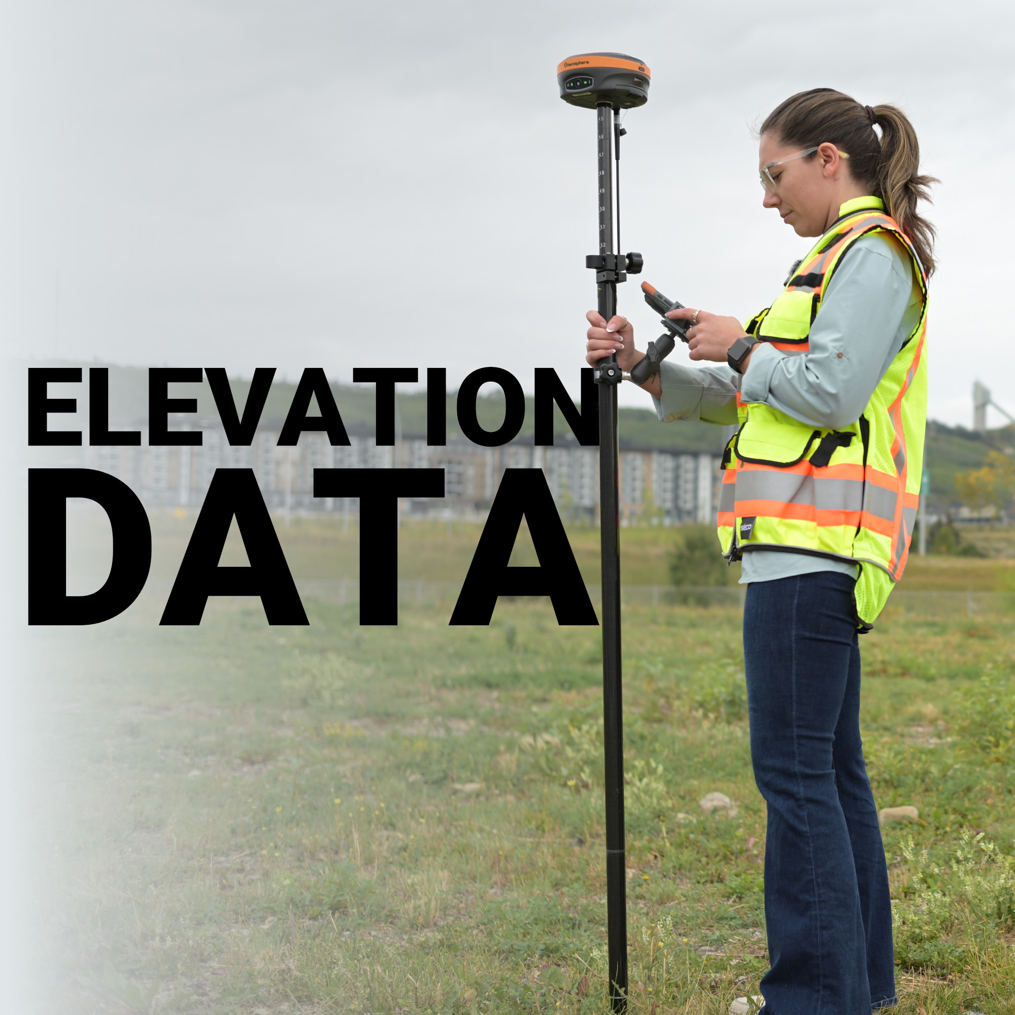
When your GNSS receiver locks onto satellites and reports a position, the horizontal coordinates are only half the story. The elevation value your system returns is where most surveyors quietly lose accuracy because they don’t fully understand what their receiver is actually measuring.
The difference between a geoid and an ellipsoid is the reason a contractor can finish a grading job and discover their finished surface doesn’t drain the way the design intended, or why control points from two different surveys refuse to reconcile. Vertical accuracy in the real world depends entirely on which reference model you’re working from, and whether you’ve made the right conversion.
What Is an Ellipsoid?
What Is a Geoid?
Geoid vs Ellipsoid: The Critical Difference in Practice
Geoid Height and Why It Varies Across the US
Accuracy Starts With Understanding Your Reference Frame
An ellipsoid is a mathematically defined, smooth approximation of the Earth’s shape. Because the planet bulges slightly at the equator and is flattened at the poles, a perfect sphere doesn’t describe it well. An ellipsoid accounts for that flattening with a clean geometric surface defined by two parameters: the semi-major axis (the equatorial radius) and the flattening ratio.
The ellipsoid you’ll encounter in almost every modern GNSS workflow is WGS84, the World Geodetic System 1984. It underpins every GPS coordinate ever output and serves as the computational foundation for satellite positioning. When your receiver calculates its position in space using satellite ranging, the resulting height is an ellipsoid height: the vertical distance between that point and the WGS84 surface directly below it.
Ellipsoid heights are geometrically clean and globally consistent, which makes them ideal for satellite math. The problem is they have nothing to do with gravity, and gravity is what water, heavy equipment, and construction materials respond to. A point with an ellipsoid height of 50 meters is not necessarily 50 meters above sea level. Depending on where you are in North America, the difference between that ellipsoid height and actual mean sea level elevation can range from a few centimeters to well over a meter.
The geoid is the surface that gravity defines. More precisely, it is an equipotential gravitational surface, the shape the world’s oceans would take if they were calm, connected through the continents, and affected only by Earth’s gravity and rotation, with no tides, winds, or currents. That surface is what most people intuitively understand as “sea level.”
Unlike the smooth, mathematically predictable ellipsoid, the geoid is lumpy and irregular. It undulates in response to the uneven distribution of mass inside the Earth. Mountain ranges with dense rock pull the geoid upward. Ocean trenches and less dense subsurface geology push it downward. The result is a surface that deviates from the ellipsoid by anywhere from roughly -105 meters (parts of the Indian Ocean) to +85 meters (parts of Iceland and the Arctic) globally. Across the contiguous United States, geoid heights are consistently negative, meaning the geoid sits below the WGS84 ellipsoid, with values typically ranging from about -7 to -36 meters depending on location.
In the United States, the geoid model in active use is GEOID18 (and transitioning toward GEOID2022), maintained by the National Geodetic Survey (NGS). These models are derived from satellite gravity data, terrestrial gravity measurements, and GPS observations on leveled benchmarks. For practicing surveyors and civil engineers, elevations referenced to this geoid, expressed as orthometric heights and tied to NAVD88, are what appear on construction drawings, in drainage designs, and in legal descriptions.
At Bench-Mark, we work with clients across the US and Canada who encounter geoid-related issues when mixing data sets, importing legacy control, or commissioning new GNSS systems without checking datum settings. It’s a more common problem than most project managers expect.

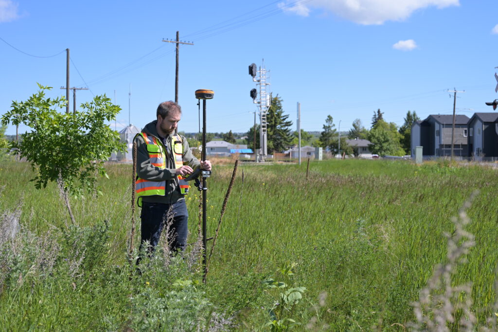
Here is where the two models meet in your daily workflow. Your GNSS receiver, whether it’s a Hemisphere S631 or any other modern multi-constellation unit, computes positions relative to the ellipsoid. That is what the satellite geometry provides. The height it outputs directly, before any correction, is the ellipsoid height (h).
The orthometric height (H) is what your project needs: the elevation above the geoid, referenced to mean sea level, consistent with every benchmark, contour map, and flood elevation certificate you’ll ever work with. The geoid height (N) is the separation value between the two surfaces at that location, the offset that bridges them.
The relationship is straightforward:
H = h − N
If your ellipsoid height is 45.320 m and your geoid height at that location is −28.450 m, your orthometric height is 73.770 m. The signs matter, and so does the geoid model loaded into your receiver or processing software.
Most modern GNSS receivers handle this automatically once the correct geoid model is loaded and selected. The key steps that keep your vertical data clean:
Geoid height is not constant. Across a single state, the separation between the geoid and ellipsoid can vary by several meters. That variation is why you can’t simply apply a single offset number to correct all your ellipsoid heights, you need the full geoid model applied point by point.
The NGS publishes geoid grids that modern data collectors and post-processing software interpolate automatically. When Bench-Mark configures equipment for clients, one of the standard checks is verifying the right geoid grid file is installed and applied. On systems running FieldGenius, this is managed in the coordinate system settings, where the geoid model is selected alongside the horizontal datum and projection.
In areas with significant terrain variation, the Rockies, the Cascades, the Appalachians, the gradient of geoid undulation is steeper and the risk of errors from ignoring it is higher. On flatter terrain, the variation is more gradual, but the absolute offset is still real and still matters for any work tied to NAVD88 benchmarks or state plane coordinates.
Getting vertical accuracy right in GNSS surveying isn’t about having the most expensive receiver. It’s about understanding that the height your receiver computes and the height your project requires are two different things, measured from two different surfaces, and that the geoid model is what connects them. A survey crew that understands this distinction will produce better vertical data with a mid-range system than a crew that ignores it with a premium one. Check your datum settings, load the current geoid model, and verify against at least one known benchmark before you trust your elevations in the field. That’s where reliable vertical data actually comes from.
