
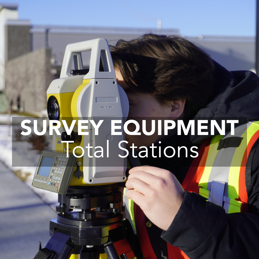
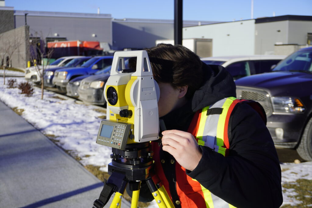
Total station surveying remains one of the most reliable and precise measurement methods used across land surveying, construction, engineering, and monitoring work in the United States. Even as GNSS and RTK systems dominate many modern workflows, total stations retain a critical role, especially when sightlines matter or when projects demand millimeter-level accuracy.
This guide explains the fundamentals of total station surveying, how the instruments work, where they’re used across the U.S. market, and how they compare to GNSS-based systems.
What Is Total Station Surveying?
How Total Station Surveying Equipment Works
Manual vs. Robotic Total Stations
Core Principles Behind Total Station Surveying
Key Applications of Total Station Surveying
Total Station Surveying vs. GNSS / RTK
Advantages of Total Station Surveying
Total Station Surveying Equipment in Today’s Market
When Total Stations Are the Best Choice
Final Thoughts
Total station surveying is the process of using a total station, an instrument that integrates an electronic theodolite, an Electronic Distance Measurement (EDM) unit, and an onboard processor, to capture precise 3D point data. By combining angle and distance measurements, the total station computes exact coordinates for any visible target.
Because total stations require line-of-sight, they thrive where GNSS struggles: urban corridors, wooded terrain, under structures, or anywhere satellite signals are obstructed. For this reason, total station surveying equipment remains indispensable across U.S. land development and construction sectors.
A total station sends a laser or infrared signal to a prism (or a reflectorless surface) and calculates distance based on the return time. At the same moment, angle encoders measure horizontal and vertical angles, allowing the instrument to compute a point’s true position.
A typical workflow includes:
While the core workflow has remained the same for decades, modern instruments offer features like reflectorless measurement, automated angle tracking, and large touchscreen interfaces.
Two major types of total stations are used across U.S. survey and construction projects:
These require the operator to manually aim the telescope. They are dependable, affordable, and favored for boundary surveys, smaller construction layouts, and establishing control networks. Their durability and simplicity also make them popular with firms that need consistent performance without the added complexity of automation.
Robotic models automatically rotate and track the prism, allowing a single surveyor to operate the instrument remotely. They are common on large commercial builds, infrastructure sites, and high-volume layout projects where speed and efficiency matter. Automated tracking reduces setup time, minimizes human error, and enables one-person crews to outperform traditional two-person workflows.
Despite differences in models and workflows, total station surveying is built on several universal principles.
Every point measured must be visible from the instrument. This fundamental requirement is why total stations excel in areas where GNSS reception is poor.
All measurements are tied to a known point. U.S. surveyors commonly establish or verify control before any layout or topo collection.
A total station’s precision comes from combining horizontal angle, vertical angle, and slope distance to calculate coordinates.
Total stations rely on encoders, compensators, and EDM systems that must be checked and calibrated. Many firms in the U.S. follow state-level requirements for instrument accuracy, especially for boundary work.
Total stations remain deeply integrated into professional workflows across multiple U.S. industries.
Practices such as ALTA/NSPS surveys, boundary retracements, subdivision layouts, and topographic mapping continue to rely on total stations for precision. In many states, legal boundary surveys require optical measurements due to their repeatability and accuracy.
Contractors use total stations for concrete layout, building corners and grids, utility trenching, road centerlines, and QA/QC as-builts. Robotic instruments, in particular, allow layout crews to mark hundreds of points per day with consistent accuracy.
Total stations support deformation monitoring, structure alignment, settlement tracking, and industrial as-builts. Reflectorless measurement is especially valuable for accessing difficult or hazardous locations without placing targets.
Underground environments eliminate GNSS entirely, making total stations the primary method for drift alignment, tunnel breakthrough calculations, volume measurement, and pit wall mapping.
While RTK is now standard on many American job sites due to its speed and broad coverage, total stations remain the preferred choice whenever line-of-sight precision is required.
Here is when total stations outperform GNSS:
Most survey and construction crews across the U.S. now use hybrid workflows. RTK handles the wide-open topography; total stations take over for layout, precision control, and any area where GNSS struggles.
Professionals continue to rely on total stations because they provide a combination of precision, visibility control, and workflow reliability that GNSS alone cannot match.
Key advantages include:
While GNSS delivers speed, total stations deliver controlled precision, making them indispensable for a large share of U.S. surveying and construction operations.
The U.S. market includes a wide range of total station options, from premium optical systems to more cost-effective alternatives. At the high end, brands like Leica, Trimble, and Topcon dominate large construction firms and government agencies. These instruments offer advanced automation, long-range EDM performance, and robust data integration, but at a significantly higher price point.
Bench-Mark primarily supports two categories for American surveyors and contractors:
Both options are backed by nationwide online support, unique in an industry dominated by regional dealerships that sell only within specific territories. Because Bench-Mark operates from a single office and supports customers across all 50 states, U.S. surveyors gain access to competitive pricing, fast service, and consistent expertise regardless of location.
Surveyors and contractors choose total station surveying when:
Even as technology evolves, total stations remain central to professional measurement across the American surveying and engineering landscape.
Total station surveying continues to be a core method for delivering precise, repeatable measurements across construction, land surveying, civil engineering, environmental work, and mining in the United States. While GNSS and RTK have expanded what crews can achieve, total stations remain essential wherever accuracy, visibility control, and line-of-sight measurement matter most.
For U.S. surveyors and construction teams evaluating total station surveying equipment, Bench-Mark provides nationwide support, GeoMax and GeoMeasure instrument options, and expert guidance from a supplier that serves customers across the entire country, not just within regional dealership boundaries.
If you need help choosing the right total station for your workflow, our team is ready to assist.
