

Walk onto any survey site, and you’ll see a mix of tools that haven’t changed much in decades alongside technology that didn’t exist five years ago. That’s modern surveying. It’s an industry where the fundamentals stay constant, but the equipment keeps getting better, faster, and more precise. The tools you choose determine how efficiently you work and how accurate your data is.
The Foundation: Traditional Land Surveying Tools
Total Stations: The Basis of Survey Equipment
RTK and GNSS: Real-Time Kinematic Positioning
Laser Levels and Construction Layout Tools
Data Collectors and Field Software
Choosing the Right Surveying Tools for Your Work
The Future of Survey Equipment
Before GPS satellites and LiDAR systems, surveyors built the world with straightforward mechanical tools. Many of these are still essential today because they’re reliable, require no power, and work in any environment.
Tape measures remain one of the most used surveying tools on any site. For offset measurements, boundary ties, or quick checks, a good tape is faster than powering up a total station. Steel tapes handle longer distances, while fiberglass versions resist kinking and work well around electrical hazards. The key is having the right tape for the job: a 100-foot steel tape for baseline work and a lighter fiberglass tape for day-to-day measurements.
Range poles and prisms are what make electronic distance measurement possible. Your total station or RTK rover can be the most advanced system available, but without a properly leveled prism at the correct height, your measurements are worthless. Prism poles with adjustable heights and integrated bubble levels ensure you’re measuring to the exact point you intend to occupy.
Tripods provide the stable platform your instruments need to deliver accurate measurements. A quality tripod means your total station stays level and your base receiver maintains a consistent position throughout the day. Wooden tripods absorb vibration better than aluminum, but composite models offer the best balance of stability and weight for crews who move frequently between setups.
These traditional surveying tools don’t require firmware updates, battery management, or calibration certificates. When your rover loses its fix or your data collector freezes, these tools keep you working.
Total stations combine angle measurement, distance measurement, and onboard computing into a single instrument. For construction stakeout, boundary surveys, and topographic mapping, they’re the most versatile surveying tool available.
Modern total stations measure angles to 1 second of arc and distances to millimeter accuracy. They store thousands of points, run coordinate geometry calculations in real time, and connect wirelessly to data collectors running software like FieldGenius. Robotic total stations eliminate the need for an instrument operator, allowing a single surveyor to track the prism remotely and collect data faster than a two-person crew with a conventional setup.
At Bench-Mark, we focus on equipment for North America that works together, delivers accurate results, and keeps you productive in the field.

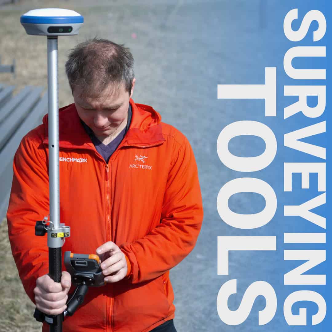
RTK technology changed surveying fundamentally. With it, you walk with a rover and collect centimeter-accurate positions in real time. For land development, utility location, and construction layout, RTK systems like the Hemisphere S631 deliver the speed and accuracy that modern projects demand.
RTK works by using a stationary base receiver to broadcast corrections to a mobile rover. The rover receives signals from multiple satellite constellations (GPS, GLONASS, Galileo, BeiDou) and applies the base corrections to calculate its precise position. This multi-constellation capability matters because more satellites mean better reliability under tree canopy, around buildings, or on steep terrain where part of the sky is blocked.
The Hemisphere S631 is our primary RTK system because it delivers reliable fixes in challenging environments at a fraction of the cost of traditional manufacturers. It’s a full multi-frequency, multi-constellation receiver that integrates seamlessly with FieldGenius software for topo surveys, stakeout, and construction layout.

When you need to establish grade, set forms, or mark elevations across a site, laser levels are faster and more reliable than traditional leveling methods. Rotary laser levels project a horizontal or vertical plane that’s visible across the entire site, allowing multiple crew members to work from the same reference simultaneously.
Modern laser levels self-level, operate in bright sunlight with a detector, and maintain accuracy over hundreds of feet. For grading contractors and site development crews, they’re essential surveying tools that keep projects moving. Pipe lasers handle sewer and drainage layout. Line lasers work for interior fit-out and alignment tasks.
Your data collector connects to your total station or RTK rover, runs your survey software, stores your data, and manages your workflow from setup to final export. A rugged, field-ready data collector with software like FieldGenius handles point collection, stakeout, COGO calculations, and real-time mapping.
FieldGenius has been the standard for open-platform surveying for years because it works with equipment from multiple manufacturers. It provides a consistent interface and reliable data management. The software handles resections, traverses, and complex road design stakeout.

Not every project needs every tool. A boundary surveyor working in wooded areas relies heavily on total stations and traverse work. A construction surveyor on an open site lives with RTK and rarely sets up a total station. Match your surveying tools and equipment to your typical workflow:
Today’s modern surveying tools are drones that capture site conditions faster than traditional methods. 3D laser scanners collect millions of points in minutes. Machine control systems guide excavators using the same RTK technology surveyors have used for years.
But the fundamentals haven’t changed. You still need accurate positions, reliable measurements, and quality data. The best surveying tools and equipment deliver these fundamentals and work reliably in the conditions you face every day.
