
Your phone’s GPS knows roughly where you are. It might place you on the right street, maybe even the right block. But for a land surveyor staking out a subdivision boundary, or a civil engineer setting control points for a highway interchange, “roughly” isn’t a profession; it’s a liability. That gap between consumer GPS accuracy (2–5 metres) and the centimetre-level precision that professional work demands is exactly the problem RTK technology was built to solve. And it solves it not by replacing the satellite signals your receiver already uses, but by fundamentally changing how those signals are interpreted.
What RTK Actually Is
The Base Station and Rover: How the System Works Together
What “Fixed” Means and Why It Matters
What Affects RTK Performance in the Field
RTK in The US Survey Practice
Accuracy You Can Defend in the Field and the Office
Real-time kinematic positioning is a technique built on top of GNSS, the broader system that includes GPS (American), GLONASS (Russian), Galileo (European), and BeiDou (Chinese) satellite constellations. Standard GNSS receivers determine position by measuring how long a satellite’s signal takes to arrive. The problem is that those signals travel through the ionosphere and troposphere, picking up errors along the way. Satellite clock drift, atmospheric delay, and multipath interference all stack up. The result is a position that’s close, but not close enough for any work where precision is a legal or engineering requirement.
RTK solves this by shifting from code-based positioning to carrier phase measurement. Rather than timing the signal, the receiver tracks the phase of the satellite’s carrier wave, a far more precise measurement. The catch is that the receiver doesn’t automatically know how many full wave cycles exist between it and the satellite. Resolving that ambiguity is the core mathematical challenge of RTK, and it’s what the system’s algorithms are constantly working to fix and maintain.
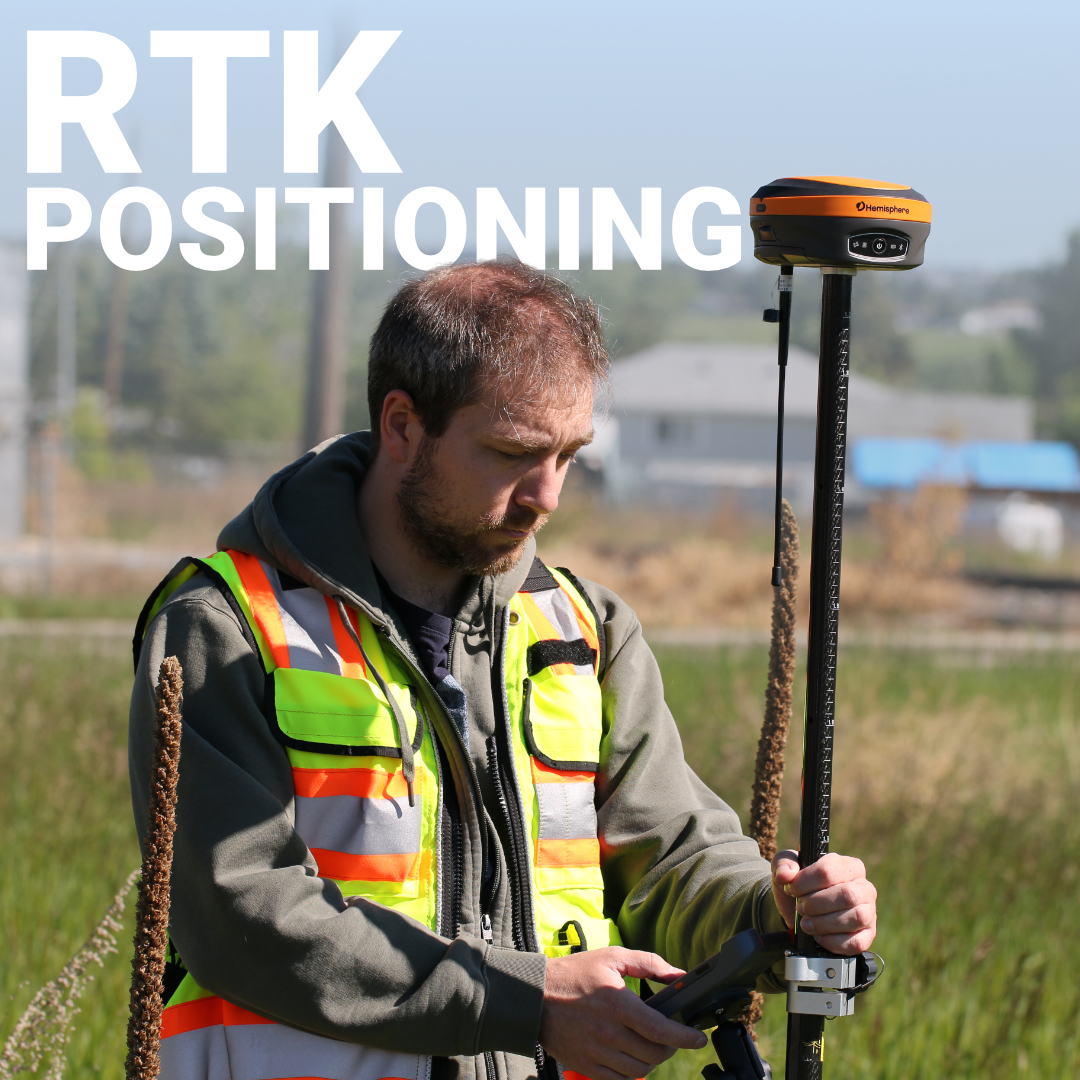
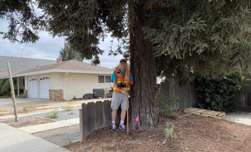
RTK requires two receivers working in tandem. One is fixed, the base station, set up over a known point or allowed to self-locate using network corrections. The other is mobile, the rover, which the surveyor carries on a pole or mounts to a machine. Here’s what happens in real time:
The key insight is that errors affecting one receiver in an area largely affect the other as well. By comparing observations at a known point against what the satellites report, you can calculate the error and subtract it from the rover’s data. The closer the rover is to the base, the more similar the atmospheric conditions and the more accurate the correction.
For the US surveyors who want to skip setting up their own base, provincial CORS (Continuously Operating Reference Station) networks provide correction streams over cellular, effectively giving you a base station anywhere you have data service.
When you’re working with RTK equipment, your data collector will display a solution status, most commonly “float” or “fixed.” Understanding the difference matters a great deal in the field.
A float solution means the system is still resolving the carrier phase ambiguity. Positions are better than raw GNSS, but not yet survey-grade. A fixed solution means the integer ambiguity has been resolved with high confidence, and you’re operating at full RTK accuracy, typically 8mm + 1ppm horizontally and 15mm + 1ppm vertically with a quality receiver like the Hemisphere S631.
Never record survey points on a float solution. It’s one of the more common mistakes made by newer operators and one of the harder ones to catch in the office.
RTK is remarkably capable, but it operates within physical constraints that every American surveyor learns to manage:
For the majority of survey work done across the USA, boundary surveys, topographic data collection, construction layout, and monitoring, RTK is the primary positioning method. It’s fast, it’s reliable in most conditions, and when paired with the right software, it integrates cleanly into the full survey workflow.
FieldGenius, the software platform we bundle with our systems, is built around exactly this kind of RTK fieldwork. Point collection, stakeout, and real-time coordinate management are all handled in a single interface on a rugged data collector. The feedback loop between the receiver, the software, and the surveyor is tight enough that experienced operators can maintain high productivity even on complex sites.
The Hemisphere S631 supports all four major constellations and multiple frequency bands, L1, L2, and L5, which directly impacts how quickly it achieves and holds a fixed solution. More satellites tracked across more frequencies means better geometry, faster initialization, and more resilience when part of the sky is obstructed. That multi-constellation capability is particularly relevant in northern latitudes, where satellite geometry can be less favourable than at lower latitudes and every additional tracked satellite improves the solution.
For teams looking for a capable RTK setup at a lower entry price, the GeoMeasure Nano 7 delivers solid multi-constellation RTK performance in a compact form factor, a practical option when budget matters but accuracy can’t be compromised.
RTK technology closes the gap between where satellite signals say you are and where you actually are, not by a little, but by an order of magnitude. That shift, from metre-level GNSS to centimetre-level RTK, is what makes the difference between data you can present in a survey plan and data you can only use for rough navigation.
At Bench-Mark, we’ve put RTK systems into the hands of surveyors, civil engineers, and construction crews across the US. We sell and support everything online, which means you get direct access to our team without needing to be near a physical dealership. If you’re evaluating RTK receivers, looking to upgrade an existing setup, or trying to understand which system fits your workflow and the conditions you actually work in, we’re the people to talk to. Reach out and let’s build the right system for what you’re doing.
