

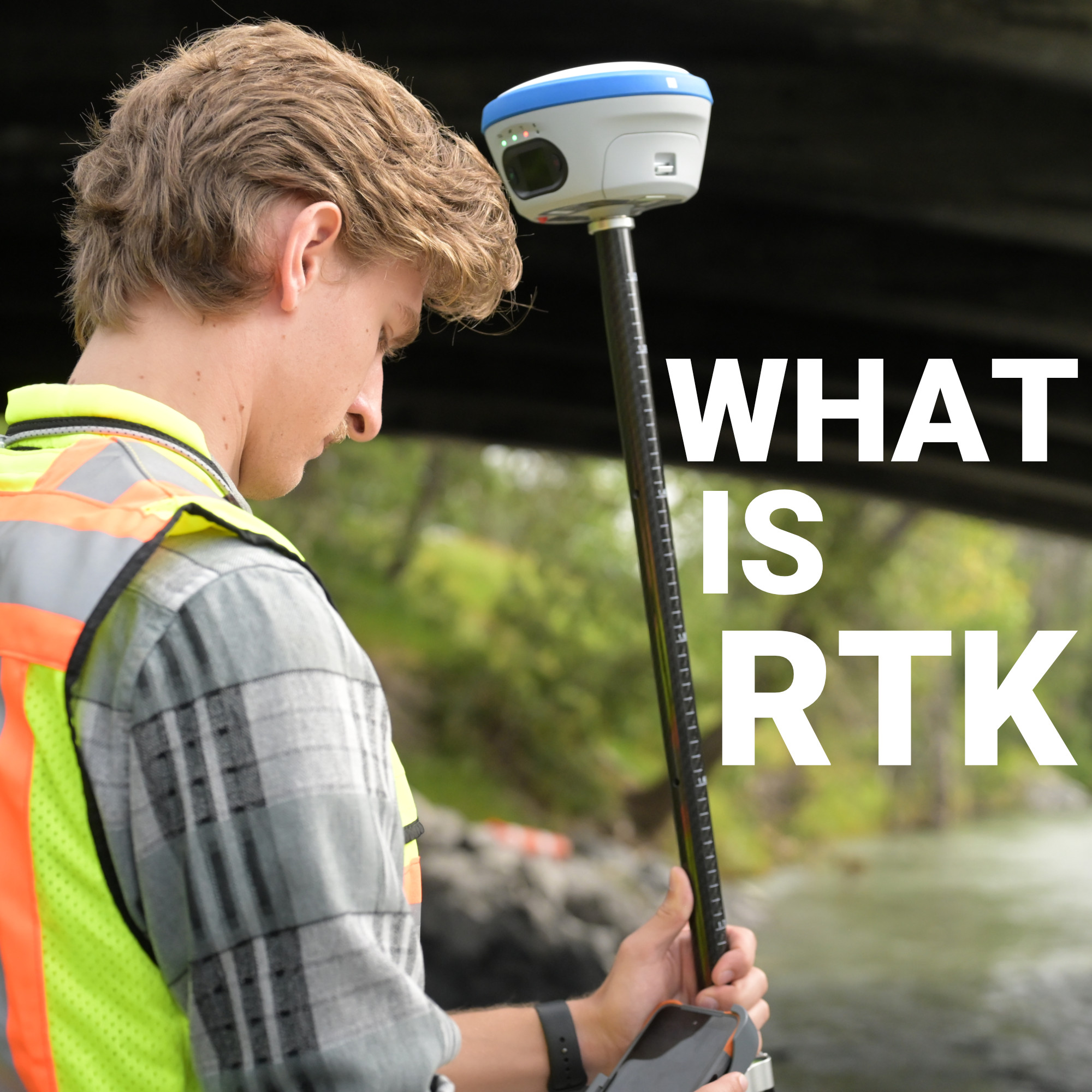
A raw GPS position and a survey-grade fix can sit three meters apart while claiming to describe the same point on the ground. That gap is the expected result of signals that traveled through a moving, uneven atmosphere before either receiver ever heard them.
RTK corrections are the mechanism that closes that gap, taking a location that’s “somewhere around here” and turning it into a location that’s provably, repeatably here, down to a centimeter or two. For anyone staking a boundary, setting grade, or running machine control, understanding what’s actually happening inside that correction stream is the difference between trusting your equipment and just hoping it’s right.
What Are RTK Corrections?
How a Base Station Turns Into a Correction
Two Ways to Get RTK Corrections in the Field
Float vs. Fixed: What “Locked In” Actually Means
What Actually Degrades Correction Quality
Where RTK Corrections Run Into Limits
Choosing the Right Setup for the Work in Front of You
The Real Payoff: Precision That Holds Up in the Field
RTK corrections are data, not a position. They describe the difference between what a fixed, known-location reference station is observing from the satellites and what it should be observing given its surveyed coordinates. A rover receiver takes that difference and applies it to its own raw measurements, cancelling out the errors both receivers share.
The correction covers real, physical error sources: ionospheric delay as signals pass through charged upper-atmosphere particles, tropospheric delay from water vapor lower down, small residual errors in satellite orbits and clocks, and multipath from signals bouncing off nearby surfaces before reaching the antenna. None of these errors are random noise a receiver can average away. They’re systematic, and a base station sitting nearby is seeing nearly the same distortion at nearly the same moment, which is exactly what makes the correction possible.
What sets RTK apart from simpler differential techniques is the type of measurement it corrects. Basic GNSS positioning relies on code-phase measurements, essentially timing how long a signal took to arrive, with a resolution measured in meters. RTK works with carrier-phase measurements instead, tracking the actual radio wave itself at a resolution of centimeters. That finer measurement is what makes centimeter-level accuracy achievable in the first place, rather than just theoretically possible.
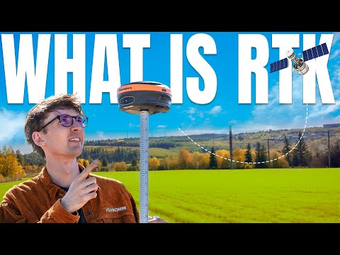
A base station is simply a GNSS receiver sitting on a precisely known point. Because its true coordinates are already established, it can continuously compare what it’s actually observing against what it should be observing, and package that discrepancy as a correction.
That correction reaches a rover through one of two general architectures:
Corrections are almost always encoded in RTCM format and delivered over NTRIP (Networked Transport of RTCM via Internet Protocol), though radio link and satellite delivery remain common where cellular coverage is thin.
A survey crew has two practical paths to a correction stream, and each comes with real tradeoffs.
Running your own base station means setting up a second GNSS receiver on a known point at the start of the job. It gives full control over the local reference frame and works without an internet connection, which matters in areas without reliable cellular coverage. The tradeoff is upfront equipment cost and setup time. You’re carrying, calibrating, and babysitting a second receiver on every job.
Subscribing to a network correction service removes that overhead. Instead of deploying your own base, the rover connects to a caster and pulls corrections generated by a managed network of permanently installed reference stations. Setup is faster, coverage extends well beyond a single base’s range, and there’s no second receiver to haul around. The tradeoff is a recurring subscription and a dependency on a stable internet connection.
Most production crews lean toward a network service for day-to-day work and keep base-and-rover capability in reserve for remote sites that fall outside network coverage. Getting a rover to hold a solid fix consistently comes down to matching the right RTK GPS system to the correction source, not just picking whichever receiver happens to be on the truck.
When a rover first starts pulling in corrections, it doesn’t jump straight to centimeter accuracy. It passes through two distinct states:
Convergence from Float to Fixed typically takes seconds under good conditions, though satellite geometry, sky obstruction, and correction quality all affect how quickly, and how reliably, a rover gets there.
Not every correction stream performs the same, and the difference usually comes down to a handful of measurable factors:
A crew struggling to hold a fix on an otherwise clean site is usually running into one of these variables rather than a defective receiver. It’s one of the more common field calls Bench-Mark fields: the hardware is performing as designed, and the correction stream feeding it is what needs attention.

RTK isn’t limitless, and knowing where it breaks down matters as much as knowing how it works.
Dense tree canopy, urban canyons, and underground or indoor environments can reduce visible satellites below what’s needed to hold a Fixed solution, regardless of how good the correction stream is. And because NTRIP delivery depends on a stable internet connection, crews working in areas with unreliable cellular service may need to fall back on radio-linked corrections from a local base, or accept intermittent connectivity as part of the job.
The right correction method isn’t universal. A crew working remote sites with no cellular coverage gets more value from a base station they control outright than from a subscription they can’t reliably connect to. A crew moving between job sites across a metro area, where connectivity is a given, is usually better served by a network subscription that removes setup time entirely. Bench-Mark supports both configurations across the equipment it carries, since the right answer depends on where the work actually happens, not on which setup sounds more advanced on paper.
RTK corrections aren’t a specification on a spec sheet. They’re the reason a stake driven today lines up with a boundary recorded years ago, and the reason machine control can trust a coordinate without a crew double-checking it by hand. Whether that correction comes from a base station parked at the edge of the site or a subscription pulling from a regional network, the accuracy a crew ends up with in the field depends entirely on getting the correction source, the connection, and the receiver working together, not on any one piece in isolation.
