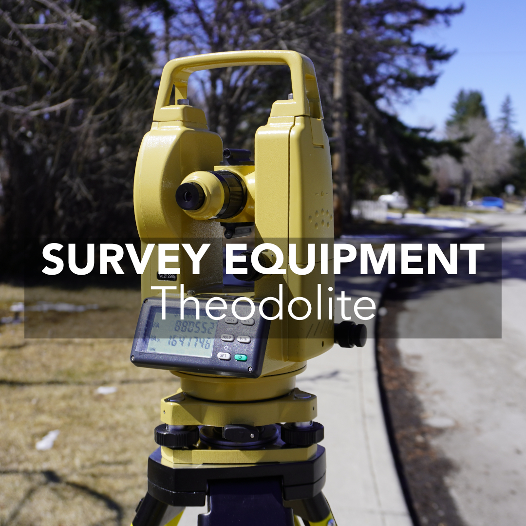
Theodolite vs Total Station: Which Surveying Instrument Is Right for You?
In the field, every measurement tool shapes how a project unfolds. Some jobs only need clean, reliable angles. Others demand full coordinate data, quick layout,


In the field, every measurement tool shapes how a project unfolds. Some jobs only need clean, reliable angles. Others demand full coordinate data, quick layout,
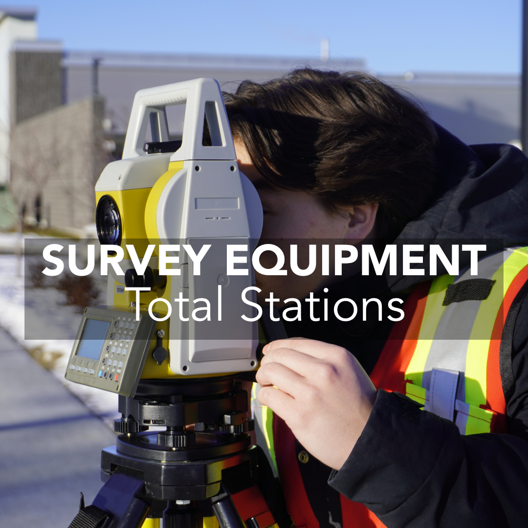
Total station surveying remains one of the most reliable and precise measurement methods used across land surveying, construction, engineering, and monitoring work in the United
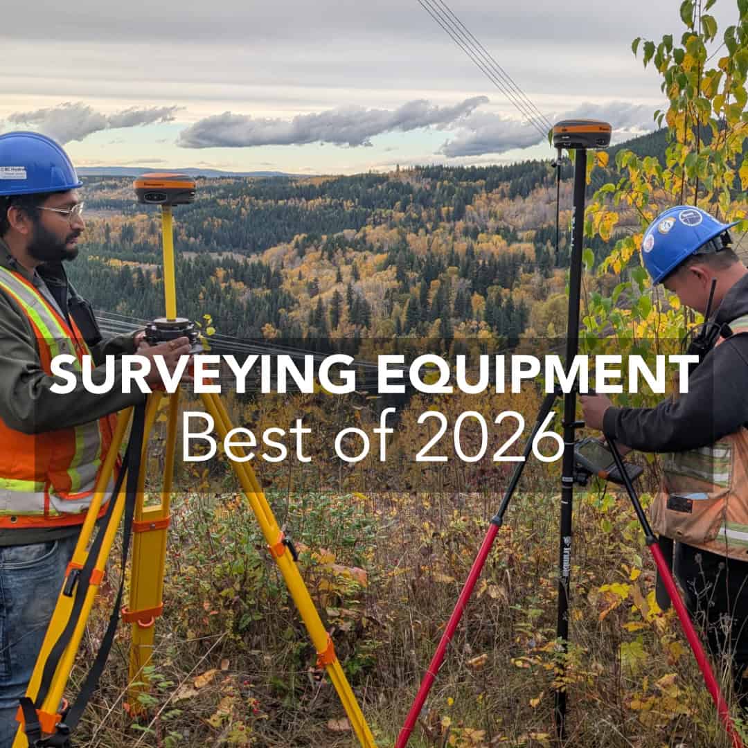
In 2026, the surveying equipment market represents a range of brands with advanced technology to meet the needs of land surveyors, civil engineers, and construction
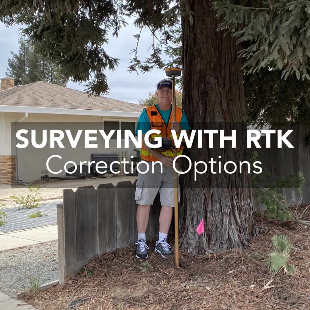
When you’re running an RTK survey, accuracy depends on a good receiver and something more. Corrections are those tiny bits of data that turn a

Modern surveying is evolving quickly, and 3D laser scanning is driving that transformation. In the past, capturing site conditions required tapes, total stations, and a
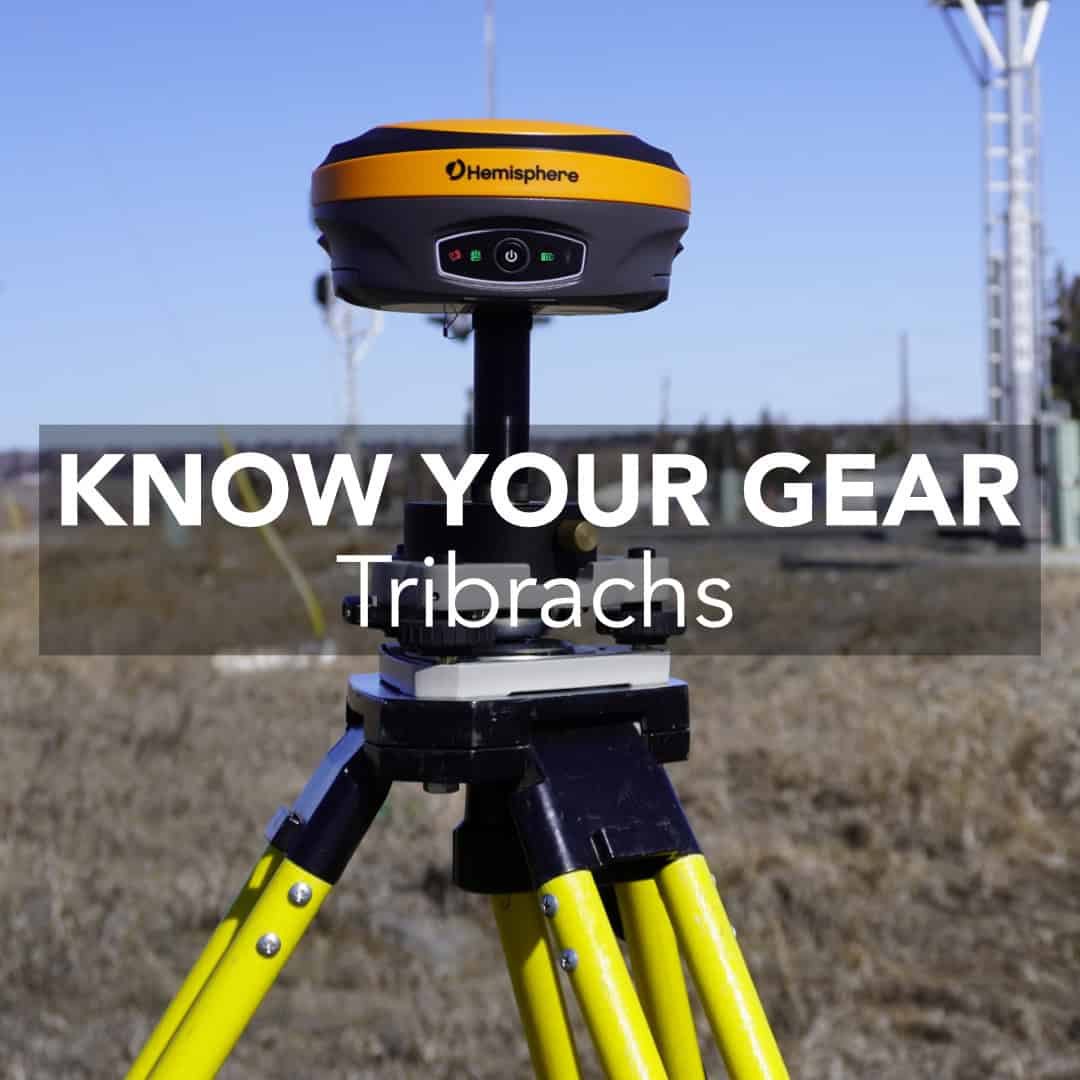
If you ask a new surveyor what piece of gear they rely on most, they’ll probably say their GNSS receiver, total station, or tripod. But

If your total station readings ever seem slightly inconsistent, the problem isn’t always calibration; it might be your prism pole setup. A prism pole plays
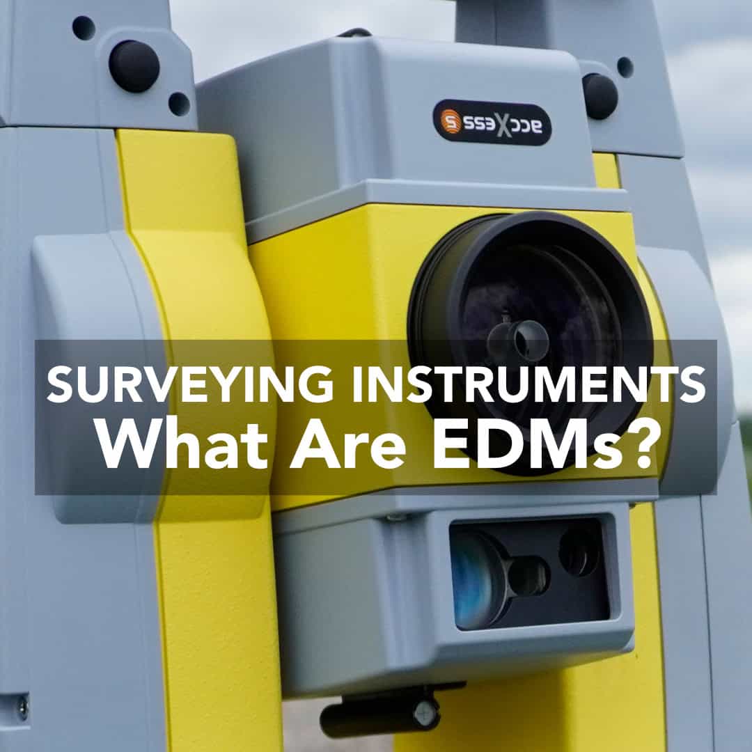
Electronic Distance Measurement (EDM) has become one of the most important tools in modern surveying. Before EDM, surveying instruments were widely available, and surveyors relied
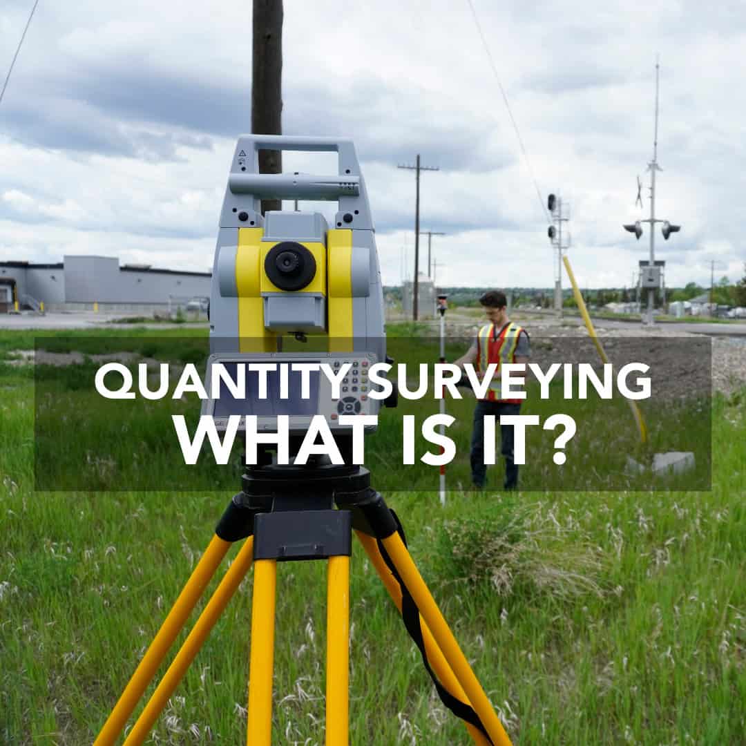
Quantity surveying is a critical part of keeping construction projects on track, within budget, and aligned with design and quality standards. Quantity surveyors work closely
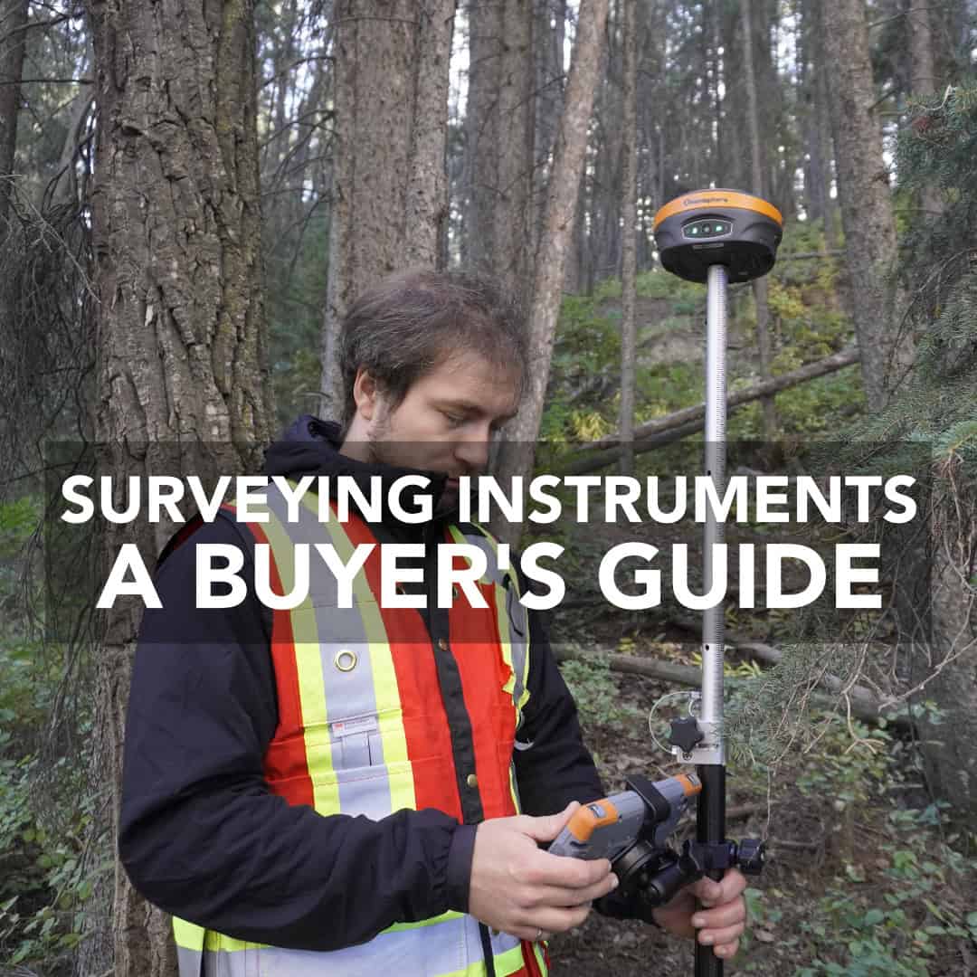
Selecting land surveying instruments is ultimately a business decision. These tools determine the accuracy of your deliverables, the efficiency of your crews, and the return