
Avoiding the 3 Most Common Base Setup Mistakes in RTK GNSS Surveying
Troubleshooting Common Field Errors Setting up a base station correctly is critical when using RTK (Real-Time Kinematic) GPS for surveying. If your base isn’t right, your rover’s


Troubleshooting Common Field Errors Setting up a base station correctly is critical when using RTK (Real-Time Kinematic) GPS for surveying. If your base isn’t right, your rover’s

How Long is Too Long? Having worked at the support desk here at Bench-Mark since 2017, I have gotten a lot of different questions over
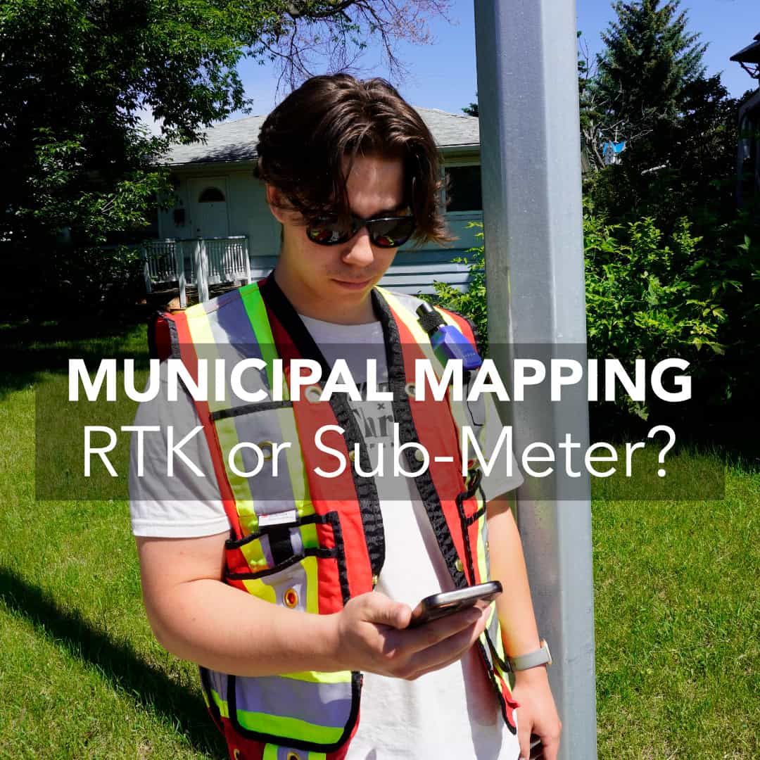
Municipalities depend on accurate and efficient asset mapping to keep cities running smoothly. From fire hydrants and streetlights to water valves and manholes, these assets

Introduction to RTK GPS and Precision Surveying Over the years, we’ve sold hundreds of Hemisphere S631 systems to surveyors across Canada, the US, and even around the

Introduction to RTK GPS and Precision Surveying When purchasing RTK (Real-Time Kinematic) technology, buyers rely heavily on spec sheets and brochures to make informed decisions. These documents

Introduction to RTK GPS and Precision Surveying In our everyday lives, we rely on the Global Positioning System (GPS) for navigation, whether it’s for driving

Real-time kinematic (RTK) GPS systems have revolutionized land surveying, offering unmatched precision in positioning and data collection. But despite their growing ubiquity on the work

Surveying professionals depend on the accuracy and reliability of their equipment to gather precise geospatial data. As real-time kinematic (RTK) technology has become more accessible, it’s increasingly

If you’re just starting out with RTK (Real-Time Kinematic) surveying, you may quickly discover that the equipment and terminology can sound rather alien if you have not

With more and more of our customers picking up RTK for the first time, there are a lot of questions around what effects RTK performance,