
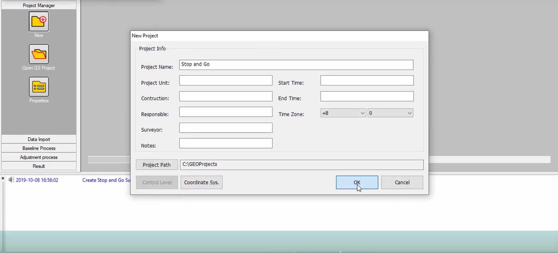
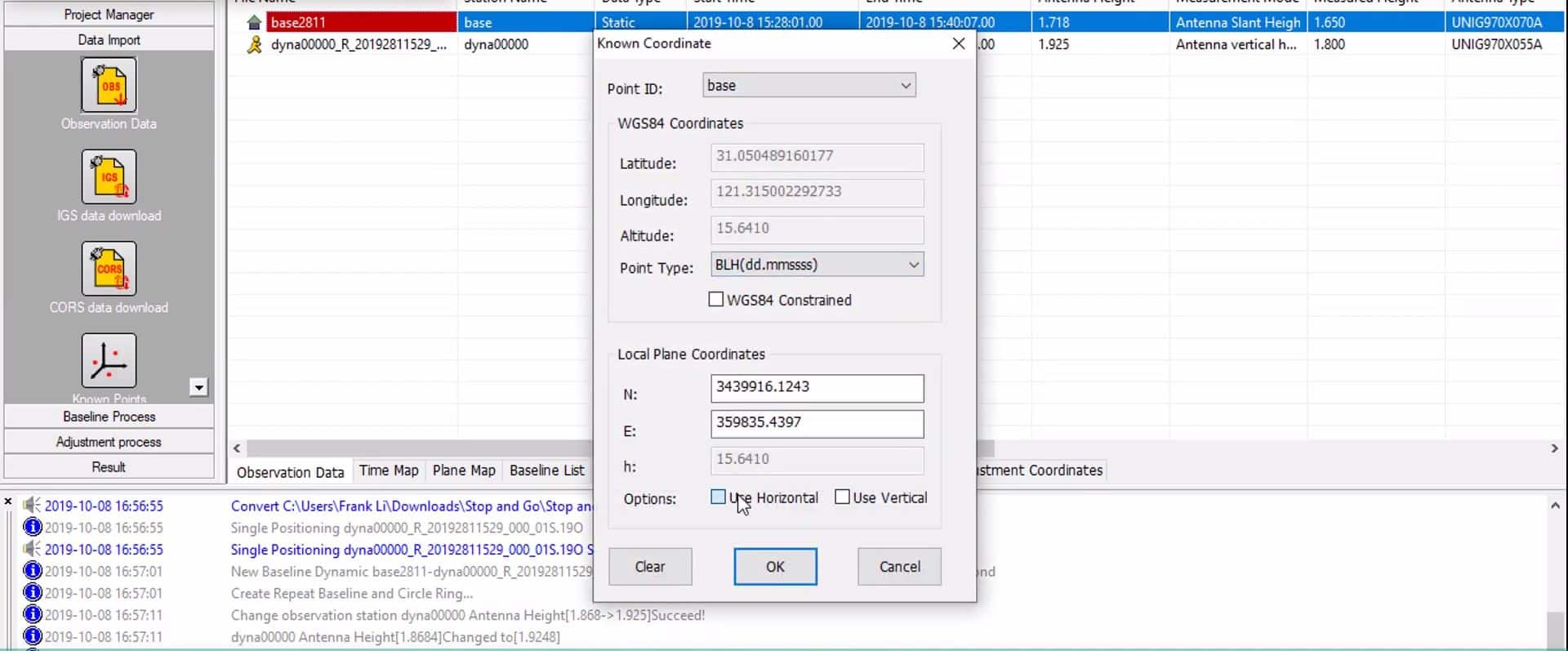
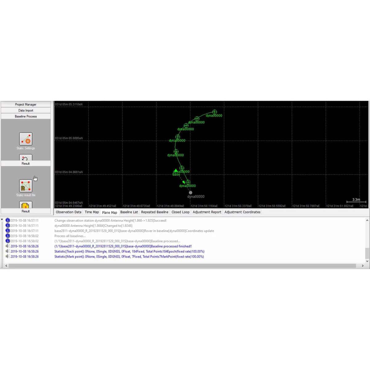
Geosolution’s prowess extends to effortlessly processing both PPK and static data, streamlining workflows and expediting accurate results. Seamlessly import diverse base map formats, including DXF, DWG, SHP, and Land XML, with the built-in Rinex Data Converter—a feature that revolutionizes fieldwork efficiency, ensuring a smooth and intuitive experience for surveying teams on-site.
Customization is key, and Geosolution offers engineers the liberty to tailor output result formats, enabling swift and efficient handling of measurements according to specific project needs. Every project operates within designated project folders, meticulously storing each operation—from baseline solution to network adjustment—ensuring comprehensive documentation and easy access to crucial data.
Surveying engineers can trust Geosolution to elevate their precision and efficiency in handling survey data. Join our vibrant community via our website and social media platforms to unlock the full potential of Geosolution, empowering your surveying pursuits with unparalleled accuracy and streamlined workflows.
This expanded version delves deeper into the software’s features, emphasizing its benefits for surveying engineers and their specific needs in data processing and precision in the field.
Reviews
There are no reviews yet.