Description
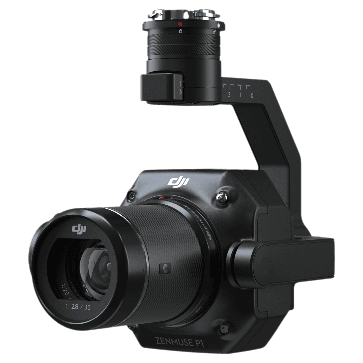
For topographic mapping, cadastral, and AEC progress documentation, the Zenmuse P1 is the straightforward choice. Its full-frame sensor and global mechanical shutter capture scale-true imagery with tight overlap at productive airspeeds, while RTK and TimeSync 2.0 keep exterior orientation rock solid. The result is centimeter-class outputs—often without laying GCPs—so crews can cover more ground and return fewer times.
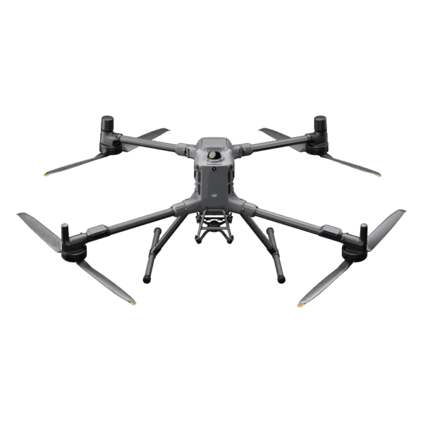
Built for real project conditions, the P1 pairs with Matrice 400/350/300 RTK platforms and supports multiple mission modes: 2D orthos for corridors and large sites, 3D obliques for built environments, and detail missions for structures. Smart data management, optional Fieldwork Report, and compatibility with DJI Terra streamline QA and processing. Less time fiddling, more time delivering maps and models your stakeholders can trust.
Key features
-
Survey-grade imaging: 45 MP full-frame with 1/2000 s leaf shutter for accurate geometry
-
No-nonsense accuracy: typical 3 cm horizontal / 5 cm vertical at 3 cm GSD without GCPs (proper RTK & overlaps)
-
Mission versatility: Orthomosaic, Oblique, and Detailed Modeling modes for 2D/3D deliverables
-
Speed with discipline: one photo every 0.7 s to maintain overlap at higher groundspeeds
-
Oblique efficiency: automated gimbal rotations capture only essential edge frames to cut processing overhead
-
Organized outputs: per-mission folders, MRK timestamps, full metadata (intrinsics/extrinsics, RTK status)
-
Ready for your stack: integrates with DJI Terra and common photogrammetry pipelines


Reviews
There are no reviews yet.