
Built for professional surveying, engineering, utilities, and mining, the Zenmuse L3 offers up to 950 m LiDAR range, up to 2M pulses/s with multi-returns, dual 100 MP RGB cameras, and a fully integrated DJI workflow — enabling up to 100 km² of high-accuracy mapping per day with a single platform.

Product details
Up to 950 m detection on 10% reflectivity targets for safe, high-altitude mapping.
~3 cm vertical at 120 m and ~5 cm at 300 m (RMSE), ideal for 1:500–1:2000 surveys.
2M pulses/s, Up To 16 returns
Dual 100 MP RGB Mapping Cameras
Package includes
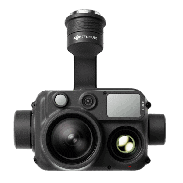
The Zenmuse L3 is DJI’s first long-range, high-accuracy LiDAR payload, engineered to help surveyors, engineers, utilities, and asset owners move large-area mapping and corridor work into the air with confidence. Mounted on the DJI Matrice 400, it is capable of mapping up to 100 km² per day (under specified conditions), dramatically reducing time on site compared to traditional ground or short-range aerial methods.
The 1535 nm LiDAR sensor combines a small laser spot, high single-pulse energy, and multi-return capability to capture clean, thin point clouds with strong ground penetration under trees and around structures. Point cloud thickness is significantly reduced versus earlier generations, supporting advanced analysis, fine surface fitting, and precise volume or as-built calculations.
For imagery, the dual 100 MP 4/3-inch RGB mapping cameras provide a 107° horizontal FOV for wide-swath mapping. With 3 cm RGB GSD at 300 m altitude, you can acquire LiDAR, high-resolution orthophotos, and elevation data in one pass. The integrated POS system delivers centimeter-level positioning and tight time synchronization between LiDAR and imagery, allowing GCP-light or even GCP-free workflows when appropriate.
Zenmuse L3 is backed by DJI’s software ecosystem: DJI Pilot 2 for mission planning, density preview and Power Line Follow; DJI Terra for PPK and LiDAR processing; DJI Modify for semantic classification and editing; and DJI FlightHub 2 for cloud-based visualization and collaboration. It’s a complete, field-ready solution for topographic surveys, powerline and corridor mapping, mining, forestry, and emergency response mapping.
Key Benefits for Professional Users
Up to 2,000,000 pulses/s with up to 16 returns for dense, detailed point clouds
Reliable wire and fine-structure capture for power, telecom, and industrial corridors
Vertical accuracies within a few centimeters at typical survey altitudes
Wide 107° RGB FOV for efficient DOM/DEM and reality capture from fewer flights
IP54-rated, -20 °C to 50 °C operating range for real-world job sites
Tight integration with DJI software for a true end-to-end workflow


Reviews
There are no reviews yet.