
Every coordinate your GNSS receiver calculates starts with a signal traveling from space at the speed of light. That signal carries precise timing information encoded at specific frequencies, and your receiver’s ability to track, decode, and combine those signals determines whether you get centimeter-level accuracy or something closer to a smartphone’s best guess.
GNSS signals are radio waves transmitted by satellites in specific frequency bands. Each satellite continuously broadcasts its position and the exact time the signal was sent. Your GNSS receiver captures these signals, measures how long they took to arrive, and uses that timing difference to calculate distance. With signals from multiple satellites, the receiver triangulates your exact position.
But different satellite constellations (GPS, GLONASS, Galileo, BeiDou) transmit on different frequencies, and most modern systems broadcast on multiple frequencies simultaneously. These frequencies fall into specific bands designated for satellite navigation, ranging from around 1.1 GHz to 1.6 GHz. The frequency your receiver uses directly impacts accuracy, multipath rejection, and how well the system performs in challenging environments.
The Core GNSS Frequency Bands
Why Multiple Frequencies Matter for Survey Accuracy
How GNSS Receivers Track Multiple Signals
Signal Quality and What Affects It
What This Means for Your Survey Setup
The Future: New Signals and Improved Performance
Your Signals Are Your Foundation
GPS uses three primary civilian frequencies. L1 (1575.42 MHz) is the original GPS frequency and still the most widely used. Nearly every GNSS receiver tracks L1, making it the baseline for compatibility. L2 (1227.60 MHz) was originally military-only but now carries the civilian L2C signal, which offers better performance in difficult conditions. L5 (1176.45 MHz) is the newest GPS frequency, designed specifically for safety-critical applications. It’s more resistant to interference and provides cleaner signals in urban environments or under canopy.
GLONASS operates on L1 (1602 MHz) and L2 (1246 MHz). Unlike GPS, GLONASS traditionally used a different approach called FDMA (Frequency Division Multiple Access), where each satellite transmitted on a slightly different frequency. Newer GLONASS satellites also support CDMA (Code Division Multiple Access), aligning more closely with how GPS and other systems work. GLONASS signals are particularly valuable in higher latitudes where the constellation geometry provides better sky coverage than GPS alone.
Galileo broadcasts on E1 (1575.42 MHz), E5a (1176.45 MHz), E5b (1207.14 MHz), and E6 (1278.75 MHz). The E1 frequency overlaps with GPS L1, making it easy for receivers to track both simultaneously. Galileo’s E5 band (both E5a and E5b) offers exceptional signal quality and is particularly effective for high-precision applications. The E6 frequency is designated for commercial and safety-of-life services.
BeiDou operates on B1 (1561.098 MHz), B2 (1207.14 MHz), and B3 (1268.52 MHz). The system has expanded rapidly and now provides global coverage. BeiDou’s B1C and B2a signals are designed for compatibility with other GNSS systems, and many modern GNSS receivers now track BeiDou alongside GPS, GLONASS, and Galileo to maximize satellite availability.
Single-frequency receivers can determine position, but they’re limited by ionospheric delay. The ionosphere (a layer of Earth’s atmosphere) slows down GNSS signals, and this delay varies depending on signal frequency. A single-frequency receiver must estimate this delay using a model, which introduces error.
Dual-frequency and multi-frequency GNSS receivers track signals on two or more frequencies simultaneously. Because ionospheric delay affects each frequency differently, the receiver can measure the difference and calculate the exact delay. This eliminates one of the largest error sources in GNSS positioning and is essential for RTK and PPK surveying. When you see “dual-frequency” or “multi-frequency” in receiver specs, this is what you’re paying for: the ability to eliminate ionospheric error and achieve centimeter-level accuracy.
Multi-frequency receivers also maintain RTK fix more reliably in challenging conditions. If one frequency experiences interference or multipath, the receiver can rely on signals from other frequencies to maintain a stable solution.
Modern GNSS receivers use channels to track satellite signals. Each channel is dedicated to tracking a specific satellite on a specific frequency. A receiver with 555 channels can simultaneously track signals from 555 different satellite-frequency combinations.
Here’s what happens inside the receiver: each channel locks onto a satellite signal, demodulates the navigation data, and tracks both the signal’s code and carrier phase. The receiver then combines data from all tracked channels to calculate position. More channels mean the receiver can track more satellites and more frequencies at once, which translates to better accuracy, faster initialization, and more reliable performance in obstructed environments.
Channel count matters most when you’re tracking multiple constellations on multiple frequencies. A receiver tracking GPS, GLONASS, Galileo, and BeiDou on dual frequencies needs significantly more channels than a single-constellation, single-frequency system. The Hemisphere S631, for example, tracks all major constellations across multiple frequencies, giving it visibility to 100+ satellites depending on your location.
Not all GNSS signals arrive at your receiver with the same quality. Several factors degrade signal strength and introduce errors:
Atmospheric Effects: The ionosphere delays signals, and the troposphere (lower atmosphere) introduces additional delay that varies with humidity and temperature. Multi-frequency receivers correct for ionospheric delay, but tropospheric effects require modeling or short baselines in RTK.
Multipath: Signals reflecting off buildings, vehicles, or other surfaces arrive slightly delayed compared to the direct signal. Your receiver interprets this as incorrect distance information. This is why antenna design and placement matter so much, good antennas reject reflected signals.
Interference: Radio frequency interference from cell towers, power lines, or electronic equipment can overwhelm weak GNSS signals. L5 and E5 frequencies are more resistant to interference because they use wider signal bandwidth.
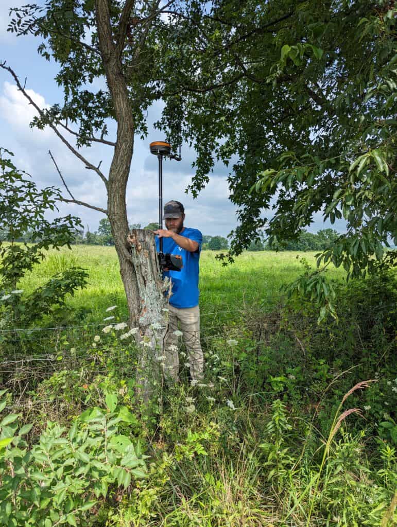
Obstructions: Trees, buildings, and terrain block line of sight to satellites. Tracking multiple constellations on multiple frequencies keeps more satellites visible even when part of the sky is obstructed.
Understanding GNSS frequencies helps you make better decisions about equipment and workflow. If you’re running RTK on short baselines (under 10 km) in relatively open environments, a dual-frequency receiver tracking GPS and GLONASS will deliver reliable centimeter accuracy. For longer baselines, challenging environments, or when you need maximum redundancy, a multi-frequency receiver tracking all four major constellations gives you better fix stability and faster initialization.
The software you’re running also matters. FieldGenius and other survey software packages need accurate information about which frequencies and constellations your receiver supports to calculate corrections properly. Make sure your receiver firmware is current and that your data collector is configured to use all available signals.
When you’re evaluating receivers, look beyond channel count. Ask which constellations and frequencies the receiver actually tracks, how it handles multipath, and whether it can maintain RTK fix in your typical working conditions. A receiver with 300 channels that only tracks GPS L1 isn’t as capable as one with 555 channels tracking four constellations across multiple frequencies.
GNSS systems continue to evolve. GPS is deploying more L5-capable satellites. Galileo is completing its constellation. BeiDou has expanded to global coverage. Each system is adding new signals and improving existing ones. For surveyors, this means more satellites, better signal quality, and improved accuracy across the board.
Newer signals like GPS L1C, Galileo E6, and BeiDou B2a are designed from the ground up for high-precision applications. They offer better multipath rejection, improved resistance to interference, and cleaner signal structure. As these signals become fully operational and more receivers support them, the baseline performance of GNSS surveying will continue to improve.
At Bench-Mark, we’ve built our systems around multi-frequency, multi-constellation receivers like the Hemisphere S631 and GeoMeasure Nano 7 because we know that signal quality determines everything else.
Every millimeter of accuracy in your survey data traces back to GNSS signals: their frequency, their quality, and how well your receiver tracks and processes them. When you understand what’s happening between the satellite and your antenna, you make better choices about equipment, setup, and workflow. Your receiver’s ability to track strong, clean signals across multiple frequencies is what separates centimeter accuracy from meter accuracy.
