Home > Surveying Equipment > GNSS Survey Equipment


Reliable Positioning for Demanding Fieldwork
GNSS survey equipment helps professionals collect accurate positioning data for land surveying, mapping, construction layout, utility projects, and infrastructure applications. Modern GNSS systems improve workflow efficiency by supporting fast, dependable field measurements across a wide range of working environments.
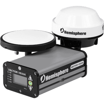
Our product range includes GNSS receivers, smart antennas, multi-constellation positioning systems, construction GNSS equipment, and certified pre-owned receivers from trusted brands including Hemisphere, GeoMax, Trimble, Spectra, Topcon, and Juniper Systems.
Bench Mark supplies professional GNSS equipment designed for surveyors, contractors, engineers, and geospatial professionals who require reliable field performance and long-term durability.
Multi-constellation tracking improves satellite availability and positioning stability, especially near buildings, trees, and other signal obstructions. Systems supporting GPS, GLONASS, Galileo, and BeiDou generally deliver more reliable field performance.
Key considerations include positioning consistency, satellite tracking capability, radio and network connectivity, battery life, durability, workflow compatibility, and software integration.
Carbon fibre poles are lightweight, rigid, and less affected by temperature changes than aluminum poles. Many surveyors prefer them for improved stability during long RTK and GNSS field sessions.
Most professional GNSS systems support integration with common field software, data collectors, correction services, and construction layout workflows, helping crews maintain operational consistency.
Advanced signal tracking, multi-frequency support, rugged construction, and improved interference handling help professional GNSS equipment maintain stable positioning in demanding field conditions.
Efficient Positioning Across Industries
Professional surveying and construction projects require positioning equipment that is durable, accurate, and efficient in real-world field conditions. GNSS systems help crews improve productivity while maintaining dependable measurement performance across large job sites and complex environments.
Surveyors, engineers, contractors, and GIS professionals rely on GNSS technology for faster data collection, improved positioning consistency, and streamlined workflows. Rugged receiver designs and advanced satellite tracking help maintain reliable operation across changing terrain and environmental conditions.
Our selection supports land surveying, utility mapping, infrastructure development, machine guidance, agriculture, and construction applications throughout the U.S.


Practical Solutions for Professional Workflows
Choosing the right GNSS system depends on project requirements, working conditions, equipment compatibility, and long-term workflow needs. Professional positioning equipment helps field crews reduce downtime while improving operational efficiency and measurement consistency.
Bench Mark provides dependable GNSS survey equipment, practical guidance, and professional support for surveying and construction professionals across the U.S.