Accurate fence placement is essential for large-scale farming operations, ranching, and property management. Traditionally, laying out a straight, well-aligned fence across uneven terrain has been challenging. However, Real-Time Kinematic (RTK) technology has revolutionized this process, ensuring centimeter-level accuracy in fence construction. By leveraging RTK, landowners and fencing contractors can overcome the limitations of conventional methods, guaranteeing precise alignment even in areas where visibility is obstructed.

The Challenges of Traditional Fence Layout Methods
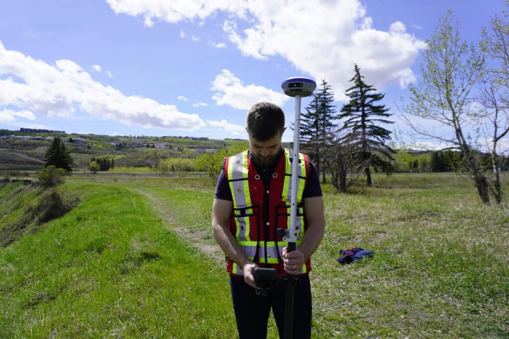
How RTK is Used in Fence Layout
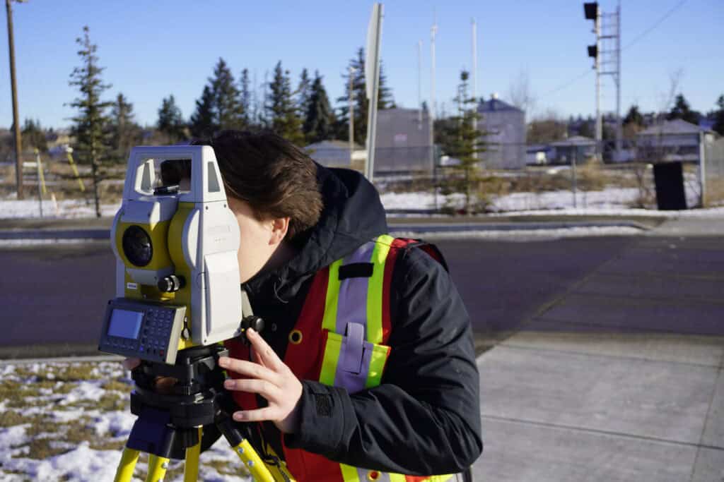
Why RTK is More Advantageous Than Total Stations
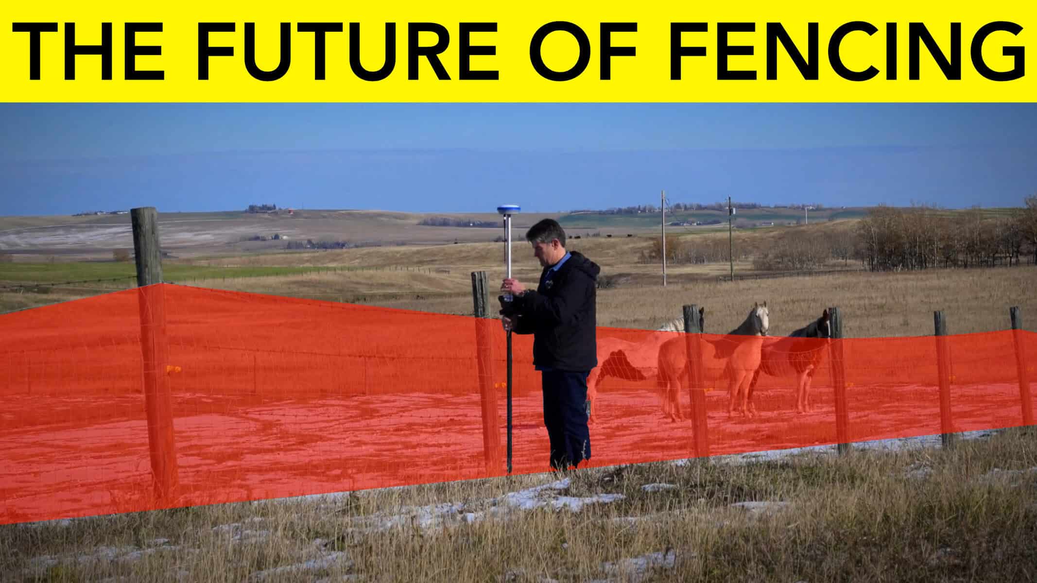
RTK in Action at Fieldstone Farmstead
Before we get into how RTK can be used to lay out fences, we need to understand how RTK works. If you have ever used your phone to do any navigating or mapping, you have probably noticed that the accuracy isn’t great. At best in an open field, you may only be able to achieve a 3 ft accurate position. (We filmed a video comparing your phone and RTK, check it out here: iPhone vs RTK GNSS)
RTK is a highly accurate positioning system that enhances standard GPS signals by using a base station to provide real-time corrections. Using these corrections, you are able to achieve sub-inch accurate positions using GNSS equipment. Here’s how the system works:
1. Base Station Setup – An RTK base station is placed at a known coordinate. This station continuously receives GPS signals and calculates any errors.
2. Real-Time Corrections – The base station sends correction data to an RTK-enabled rover (a mobile receiver) via radio or an internet connection.
3. High-Precision Positioning – The rover applies these corrections to its GPS position, achieving accuracy within a centimeter. Unlike standard GPS, which can have errors of several meters, RTK ensures highly precise location data.
By integrating RTK receivers with mobile devices, contractors can instantly determine fence post positions and mark accurate lines without needing direct visual alignment.
Historically, laying out fences relied on manual measurements, total stations, and transits, all of which require direct line of sight. This approach presents several challenges:
RTK technology eliminates these issues by providing a simple, precise, and efficient way to mark fence lines, regardless of terrain challenges.
1. Laying Out a Fence When the Endpoint is Not Visible
One of the primary difficulties in fence construction is aligning posts when the endpoint is beyond the line of sight. For example, a fence may need to extend over a hill, making it impossible to see the far end from the starting point.
With RTK, you can take a measurement at the starting position and another at the distant endpoint. Using FieldGenius, (or any other survey software) you can then connect the two points via a line. A perfectly straight line between these points will then be established. By staking along this line, you can ensure the fence follows the property line, or offset to the property line perfectly. You can learn how to do all of this and more on Survey-Assistant.com.

2. Establishing an Offset Fence Line
Many landowners prefer their fences to be slightly inside their property boundaries, often offset by a foot or more. Traditional methods make this difficult, requiring manual measurement adjustments that introduce error.
Using RTK, a surveyor can record the property line’s exact coordinates and generate an automatic offset line at a designated distance. This allows for quick and accurate staking, ensuring the fence remains within property limits while maintaining a straight alignment.

3. Simplifying the Staking Process
Unlike manual total stations that require a minimum two people to operate efficiently, RTK allows a single user to stake out precise fence locations with minimal effort and no specialized training.
Additionally, modern RTK systems feature tilt compensation, meaning users no longer need to keep the pole perfectly level to obtain accurate measurements. This makes the process even more efficient and faster.

Total stations have long been used in surveying, but they have limitations when compared to RTK in fencing applications. Here’s why RTK stands out:
At Fieldstone Farmstead, we used the GeoMeasure Nano 7 RTK system to help layout our fencing. We used a Nano 7 Basin Rover to streamline fence installation, ensuring perfect alignment even in rolling terrain. Here’s how they use RTK in real-world scenarios:
RTK technology is a game-changer in fence layout for large farms and ranches. By eliminating sight line issues, reducing labor requirements, and ensuring centimeter-level accuracy, RTK allows landowners and contractors to construct fences that are straight, properly aligned, and precisely positioned. Whether dealing with hilly terrain, long property boundaries, or offset requirements, RTK simplifies the process and guarantees professional results.
For those in the farming and ranching industries looking to improve their fencing operations, investing in RTK technology is a step toward efficiency, accuracy, and long-term cost savings.
RTK (Real-Time Kinematic) GPS is a high-precision positioning system that enhances standard GPS signals using a base station to provide real-time corrections. This enables centimeter-level accuracy, ensuring straight and well-aligned fence placement, even across uneven terrain.
Traditional methods, like using total stations or manual measurements, require direct line of sight and often involve a two-person team. RTK eliminates these limitations by allowing a single user to establish precise fence lines without needing direct visibility between points.
Yes, RTK allows users to generate automatic offset lines from property boundaries. This ensures that fences are positioned correctly inside the property line without manual measurement errors.
RTK does not require line of sight, operates faster, can be used by a single person, automates offset calculations, and requires less training compared to total stations. This makes it a more efficient and cost-effective solution for fence layout.
No, modern RTK systems are user-friendly and require minimal training. Many systems also include features like tilt compensation, making them accessible for landowners and contractors with little to no surveying experience.
Bench Mark Equipment & Supplies is your team to trust with all your surveying equipment. We have been providing high-quality surveying equipment to land surveyors, engineers, construction, airborne and resource professionals since 2002. This helps establish ourselves as the go-to team in Calgary, Canada, and the USA. Plus, we provide a wide selection of equipment, including global navigation satellite systems, RTK GPS equipment, GNSS receivers, and more. We strive to provide the highest level of customer care and service for everyone. To speak to one of our team today, call us at +1 (888) 286-3204 or email us at [email protected]