
There is a lot to learn when surveying, and sometimes the facts get lost during translation. There are several common misconceptions that we hear on the tech support desk, and we thought it was high-time to clear up some of the most common misconceptions we hear. Understanding how your equipment works will help you better understand what you see in the field, and how to get the most out of your equipment.
When people first here of RTK, and especially base and rover, the first thing that jumps out is the accuracy. Unlike a handheld GNSS device, like your phone where you can expect accuracy in the ball-park of 3-feet (~1-meter), with RTK equipment you can expect repeatable accuracy to within 0.3 inches (<1 cm). However, there is more to this accuracy measurement than their first appears. With a base and rover system, your rover is accurate relative to the base.

Your base station is not receiving any RTK corrections; therefore, its position is only accurate to within 2-3 feet. What this means is that when taking the rover and shooting a point, there is a bias in your data. What this means in practice is that you have to correct for this bias to bring the rover into the real world. There are multiple different ways to correct this bias.
How you can correct this bias depends on the parameters of your project. Does your project need to tie into the real world? Are there known points? What is the location of the known points? If you do have known points available, you have two different options. You can either tie into control with the rover, or set the base on a known point. Typically, what we recommend is to set the base over an unknown point, and tie into control with the rover. This allows you more points to tie into, and increases the number of points you can check into to ensure that the calibration is correct.
The second option is when there are no control points available. When there are no known points, static data can be recorded at the base, and if the observation time is long enough, a sub-centimeter position can be obtained. With this position, the rest of your observations can be reprocessed once you are done.
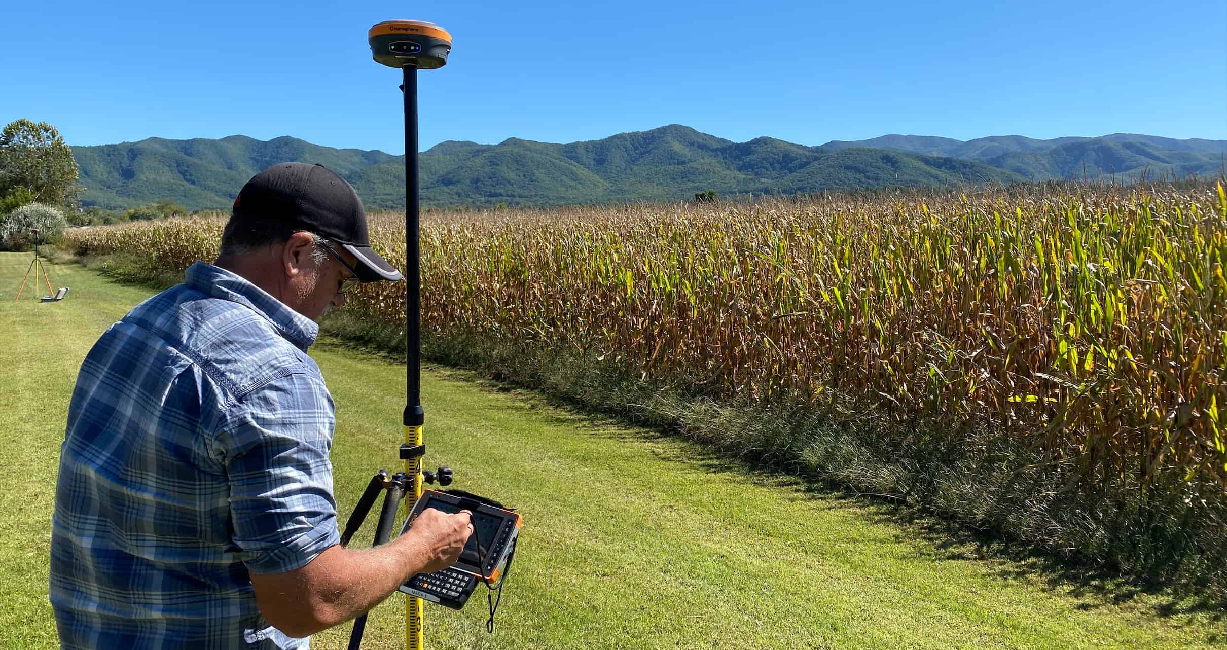
One of the most common causes of confusion around a base and rover setup is around the way in which they work. One of the most common questions we get after restarting a rover is whether or not we have to restart the base. This is not the case.
Your base and rover are completely independent of one another. They do not need one another to be setup. Obviously, to achieve desired accuracy, you will need a base station to be broadcasting, however it is not a perquisite to setting the rover up. When starting your base you are in essence telling it to tell the whole world where it is and what it is seeing. It does not require any further inputs, and is entirely disconnected from your data collector and rover. In theory, your base could broadcast from now until the end of time without ever having to be restarted or altered.
This brings us to the second part of the setup, the rover. As I mentioned earlier, the rover is independent of the base station. What the rover is doing is listening for information on a radio protocol and channel. If the rover can understand the same language the base is outputting it can use that information. What this means in practice is you can stop and start your rover as often as you want, without ever returning to the base. All the rover is doing is listening for information, and if it hears anything will use that information in its solution.
Furthermore, when using a base and rover system, you can set up the base once, and connect as many rovers as you want whenever you want. So, to recap, the rover and base are independent, communication is one way, and the base talks while the rover listens.
People often think that just because they have one model of receiver, they can only use a matching receiver in a base and rover solution. This is not the case, as I mentioned above, as long as the base and rover speak the same language, the rover can use the information of the base. There are several different “languages” that are generally compatible across brands.
There are two different languages that need to be checked when working across brands and models. That is the radio protocol and the message type. The radio protocol is the modulation and mode that the radio uses in its broadcast. The message type is how the satellite information is packaged.
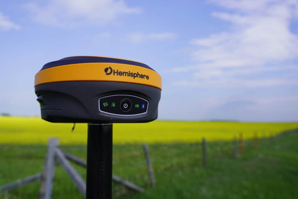
Depending on the internal radio module inside your receiver, it will be able to put out different radio modulation rates and modes. Common formats include Pacific Crest, Satel and TrimTalk. Many receivers can do at least one of these formats, but you do have to pay attention, as there are multiple different sub variants and depending on the channel spacing, settings may change. However, most Topcon, Trimble, Leica, and all Hemisphere receivers will be able to use at least one, if not all of the above message interchange formats.
Unlike radio modes, there is a universally recognized and internationally standard format known as RTCM (which stands for Radio Technical Commission for Maritime Services). As new satellites come on line, and new signals become available this international standard is updated. As of the publishing of this article, the latest version is RTCM 3.2 MSM.
However, many manufacturers offer their own proprietary message type. For instance, Hemisphere can use the Hemisphere ROX format, while many Trimble receivers use CMR derivatives. Often times these messages are proprietary and are not usable between models. In a move normally uncharacteristic of Trimble, several of the older (and therefore limited) CMR formats are open source.
In a typical gps base and rover workflow, the base is responsible for broadcasting correction data. The rover focuses on receiving and applying that data to its position solution. The base setup is generally done once per project or per day, while rover operation can be repeated, restarted, or shared among multiple users without impacting the base.
People often think about gps base station and rover, that just because they have one model of receiver, they can only use a matching receiver in a base and rover solution. This is not the case. As long as the base and rover speak the same language, the rover can use the information from the base, even across different manufacturers.
There are two different “languages” that need to be checked when working across brands and models: the radio protocol and the message type. The radio protocol defines how the data is transmitted, while the message type defines how satellite information is packaged.
Depending on the internal radio module inside your receiver, it will support different modulation rates and modes. Common formats include Pacific Crest, Satel, and TrimTalk. Many receivers support at least one of these formats, though settings may vary depending on sub-variants and channel spacing. Most Topcon, Trimble, Leica, and all Hemisphere receivers support at least one of these formats.
Unlike radio modes, there is a universally recognized international standard known as RTCM (Radio Technical Commission for Maritime Services). As new satellites and signals become available, this standard is updated.
However, many manufacturers also offer proprietary message types. For example, Hemisphere uses the Hemisphere ROX format, while many Trimble receivers use CMR derivatives. These proprietary formats are often not interoperable between brands, though some older CMR formats have been released as open source.
Conclusions
There is a lot to learn when starting to survey. There can be a lot of moving parts, and better understanding how they interact with one another can help you solve issues you have in the field. Hopefully this article has cleared up some of your misconceptions about surveying, and if you have anymore questions, ask them in the comments below.
Bench Mark Equipment & Supplies is your team to trust with all your surveying equipment. We have been providing high-quality surveying equipment to land surveyors, engineers, construction, airborne and resource professionals since 2002. This helps establish ourselves as the go-to team in Calgary, Canada, and the USA. Plus, we provide a wide selection of equipment, including global navigation satellite systems, RTK GPS equipment, GNSS receivers, and more. We strive to provide the highest level of customer care and service for everyone. To speak to one of our team today, call us at +1 (888) 286-3204 or email us at [email protected]
