
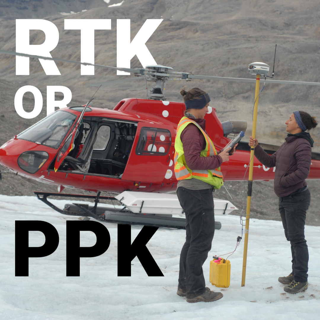
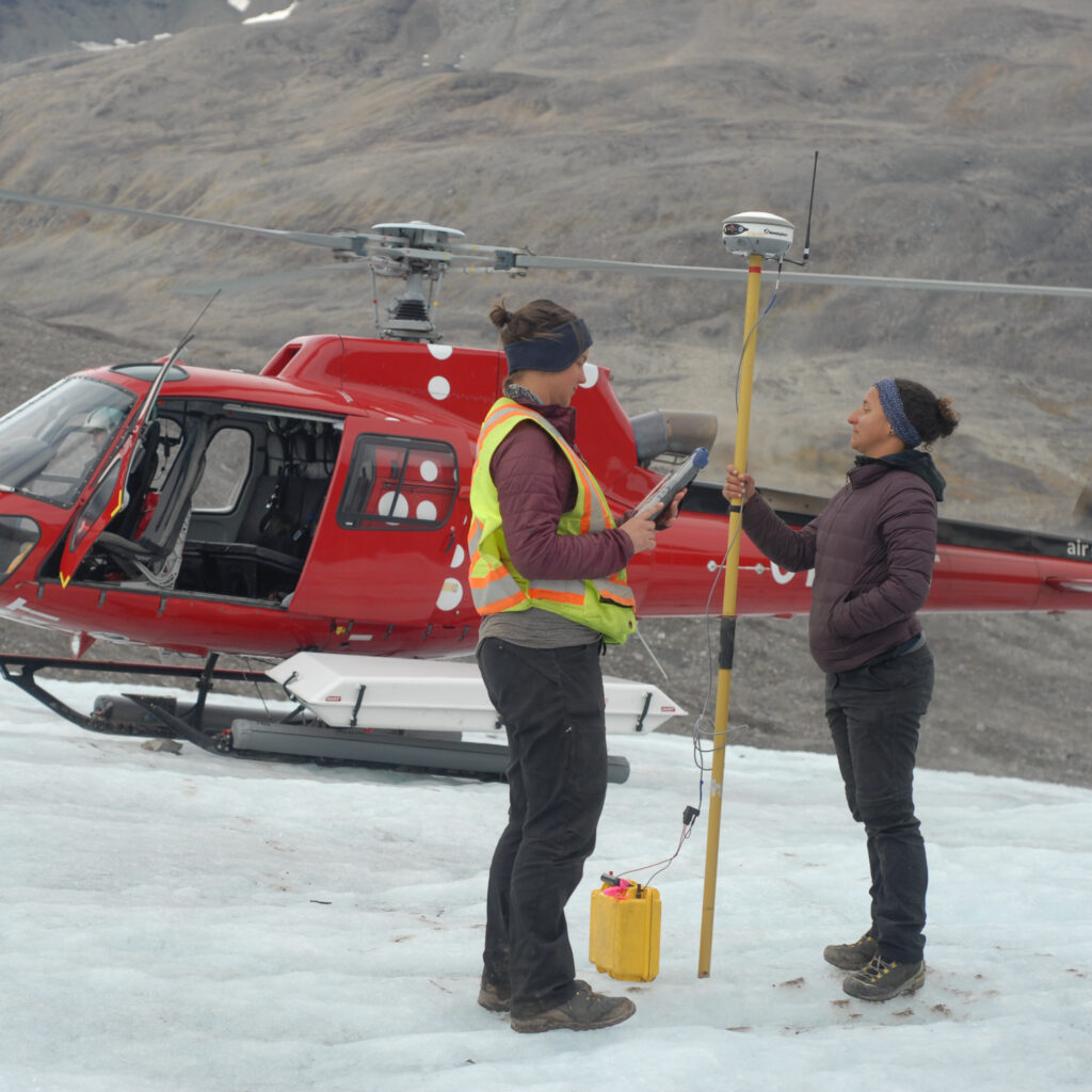
Most surveyors have argued about this at some point on a job site, usually when a radio link drops mid-traverse or a drone pilot is pulling their hair out over missed GCPs. RTK and PPK are both kinematic GNSS methods that use carrier phase measurements and a base station to reach centimeter-level accuracy, but they solve the same problem in fundamentally different ways. That difference directly affects your workflow, your hardware choices, and whether you get usable data at the end of the day in the field conditions that actually exist across the USA.
How RTK Works
How PPK Works
RTK vs PPK: The Core Differences
When RTK Is the Right Choice
When PPK Makes More Sense
Do You Always Have to Choose?
The Method That Fits the Job Wins
RTK (real-time kinematic) processes corrections on the fly. A base station, either your own or a network like a provincial CORS, broadcasts differential corrections to your rover in real time over radio or cellular. The rover applies those corrections immediately and gives you a fixed position within seconds.
That immediacy is what makes RTK the go-to method for most land surveyors and civil engineers doing boundary work, topographic surveys, and construction layout. You collect a point, you confirm the fix quality on your data collector, and you move on. With software like FieldGenius, that feedback loop is tight and the workflow becomes intuitive fast.
The tradeoff is dependency. RTK only works as well as its data link. Radio has limited range, typically 10 to 20 kilometres in open terrain, significantly less in the boreal forest, river valleys, or mountain corridors that define a lot of US survey work. Cellular-based corrections through network RTK (NTRIP) solve the range problem but introduce a different one: you need a data signal, and in rural or remote areas of the USA, that isn’t guaranteed.
PPK (post-processed kinematic) takes the same base-and-rover setup but removes the real-time data link entirely. Both units log raw GNSS observations independently. After fieldwork is complete, you bring the files into processing software and compute the positions using those synchronized logs.
The result is accuracy equivalent to, or in some cases slightly better than, RTK, without needing a live correction stream in the field. PPK also gives you the ability to reprocess if something looks off, apply different baselines, or recover data from sessions where your receiver briefly lost lock.
The clear tradeoff is that you don’t know your results until you’re back at the office. There’s no real-time fix confirmation, which means stakeout is essentially impossible and quality control in the field is limited to checking that your receiver was tracking sufficient satellites.
Here’s where the two methods actually diverge in practice:
For the majority of surveying work done in the States, boundary surveys, construction control, topographic data collection, and any task requiring real-time stakeout, RTK is the correct method. The speed and feedback it provides are genuinely irreplaceable when you’re setting grades on an active site or marking out property corners that need to be confirmed before you leave.
RTK systems like the Hemisphere S631 are built for exactly this kind of work. With multi-constellation tracking across GPS, GLONASS, Galileo, and BeiDou, initialization times are fast and fix reliability in mixed environments is strong. The S631 supports both radio and cellular-based RTK, which matters in a country where your connectivity options shift.
PPK earns its place in specific scenarios where a real-time correction link is impractical or impossible:
Not necessarily. The Hemisphere S631 and several other survey-grade receivers support simultaneous raw data logging alongside RTK operation. This means you get the real-time results in the field and retain the option to PPK-process the raw data afterwards if anything needs to be verified or corrected. For high-stakes projects or long baselines, this dual approach provides a meaningful safety net.
The GeoMeasure Nano 7 is also worth considering for teams that need a capable PPK-enabled receiver at a price point that allows for more flexible deployment, particularly useful when you’re putting a second unit on a UAV and don’t want your primary survey receiver in the air.
There’s no universal answer to the RTK vs PPK debate, and anyone who tells you otherwise hasn’t surveyed enough different terrain. RTK is faster, more responsive, and better suited to the majority of ground-based survey and construction work. PPK is more flexible, more resilient in remote conditions, and the right call for UAV workflows and long-baseline projects. The most capable setups support both.
At Bench-Mark, we work with surveyors and engineers across the USA, from urban construction corridors to remote resource projects, and we’ll help you put together a system that handles both. Our team can walk you through how an RTK fits into your specific workflow and what configuration gives you the most reliable results for the conditions you actually work in. Reach out and let’s figure out the right setup for your next project.
