
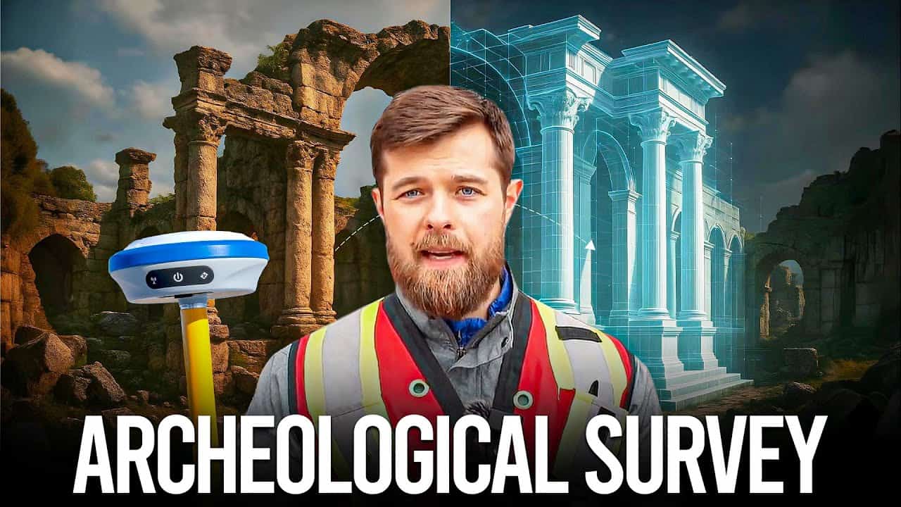
In archaeology, context is everything. An artifact’s value doesn’t lie solely in what it is—it lies in where it was found. A meter might not sound like much, but when we’re looking thousands of years into the past, a meter of error can mean the difference between understanding a civilization and misinterpreting history.
That’s where RTK GNSS technology comes in—bringing centimeter-level precision to an industry that has, until recently, relied heavily on tape measures, optical instruments, and sub-meter GPS units. Let’s break down what RTK is, how it compares to older technologies, and why it’s becoming indispensable on archaeological sites around the world. With RTK becoming more and more affordable, there has never been a better time to get started with RTK equipment.
Why Does Precision Matter in Archaeology?
Comparing RTK to Sub-Meter GPS and Traditional Survey Tools
Practical Applications of RTK GNSS in Archaeology
Accessibility: RTK for All, Not Just Surveyors
Key Advantages of RTK GNSS for Archaeologists
Getting Started with RTK GNSS in Archaeology
RTK, or Real-Time Kinematic, is a GNSS (Global Navigation Satellite System) positioning technique that enhances the precision of satellite-based location data using correction signals from a fixed base station. While typical GPS might give you accuracy within a few meters, RTK shrinks that error down to 2 cm or less in real time.
Here’s how it works:
RTK GNSS systems work with multiple satellite constellations—including GPS (USA), GLONASS (Russia), Galileo (EU), and BeiDou (China)—which boosts reliability and accuracy, even under challenging conditions like tree cover or in deep trenches. You can read more about RTK here: Introduction to RTK GPS In Land Surveying.
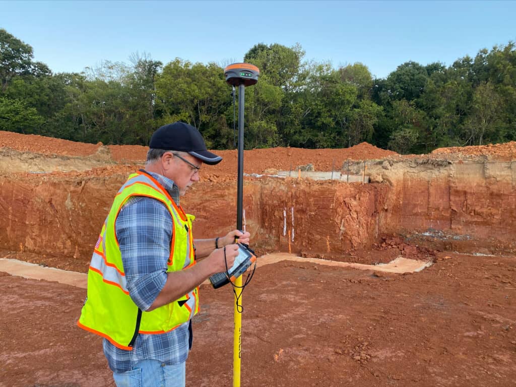
In archaeological digs, accuracy isn’t a luxury—it’s a necessity. Sites are excavated layer by layer, often over many years. Teams might return to the same trench a decade or two later. Without a way to precisely geolocate the context of each find, researchers risk losing vital information.
A Story from the Field
I was talking to a surveyor recently who has worked with archaeological teams, and I think he put it best about RTK has changed the way archaeology can be done:
“It would blow you away what I’ve been able to do with Field Genius and RTK. We could have a site we excavated 20 years ago, dig with a backhoe six feet down, and there’s the nail with the flagging tape we left there two decades earlier.”
This level of fidelity is not just a nice-to-have—it enables teams to excavate surgically rather than destructively. Instead of digging up wide swaths of soil and risking the loss of fragile artifacts, RTK allows teams to go straight to the target with pinpoint accuracy.
Before RTK GNSS became accessible, archaeologists had two primary tools for mapping: sub-meter GPS units and optical tools like total stations or even tape measures. Let’s break down how RTK compares to each.
Sub-Meter GPS
Accuracy: Typically, between 0.3 to 1 meter.
Pros: Affordable, user-friendly.
Cons: Not precise enough for archaeological layers or returning to the exact same point over long timescales.
Options: Include receivers like the GeoMeasure PinPoint, GeoMax Zenith06 and the Juniper Geode.
With sub-meter GPS, you may know which quadrant a pot shard came from, but not exactly where within it. That’s a major limitation when trying to match soil layers, conduct erosion studies, or build 3D reconstructions.
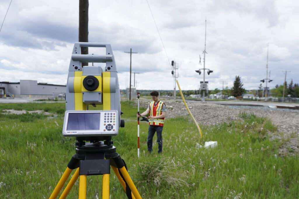
Optical Instruments (Total Stations)
Accuracy: Very high (millimeter-level), but depends on line of sight and proper setup.
Pros: Excellent for short-range, static measurement.
Cons: Cumbersome, requires knowledge of how to properly setup a total station.
Options: Total stations come in several different flavours, including robotic and manual options. Options include the GeoMeasure GM-52 and the Geomax Zoom10 for manual options, and the GeoMax Zoom95 for a robotic total station. You can learn more about total stations and how they compare to RTK here: RTK Vs. Robotic Total Stations.
While precise, total stations are often more difficult to use and are most useful on small confined sites, where everything can be viewed from one location.
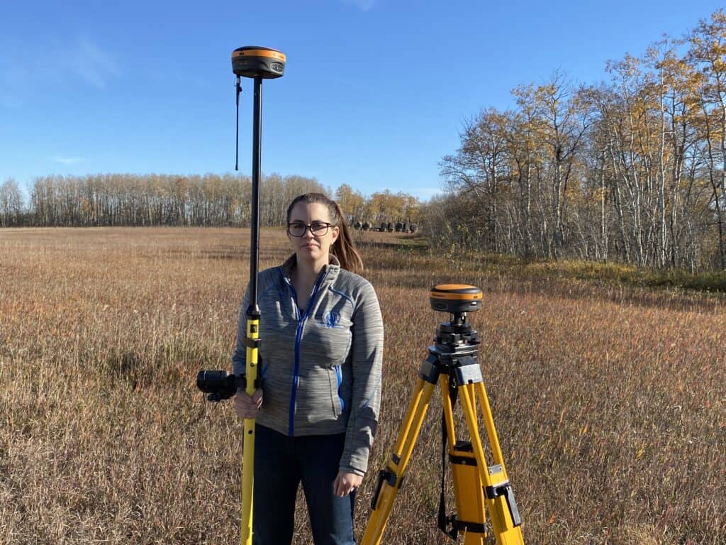
RTK GNSS
Accuracy: Sub cm in real time.
Pros: High precision, fast setup, mobile, minimal crew required.
Cons: Requires base station (or network corrections), initial cost. Much easier to learn compared to optical instruments.
Options: There are many RTK grade receivers on the market, with Trimble producing some of the most popular (albeit expensive) options in the R12i. More affordable options that are more suitable for archaeological work include the GeoMeasure Nano 7 and the Hemisphere S631.
RTK GNSS blends the accuracy of optical instruments with the flexibility of GPS, making it an ideal fit for archaeology. It’s precise, portable, and fast—exactly what field teams need when they’re racing against time and weather.
| Technology | Accuracy | Pros | Cons | Common Options | Best For |
| Sub-Meter GPS | 0.3 – 1 m | Affordable, Compact and Easy to Use | Not Precise, Accuracy Degrades Under Trees | GeoMeasure PinPoint, GeoMax Zenith06, Juniper Geode | General location Mapping, Quick Field Surveys. |
| Optical Instruments | Millimetre Accuracy | Highly Accurate, Great for Short Range Measurements | Requires Line of Site, Difficult to Use, Complex Setup | GeoMeasure GM52, GeoMax Zoom10 and GeoMax Zoom95 | Confined Sites, Highly Detailed Short Range Mapping |
| RTK GNSS | Sub-Centimeter Accuracy | Highly Precise, Mobile, Easy to Setup | Requires Base Station or Correction Network | Trimble R12i, Hemisphere S631, GeoMeasure Nano 7 | Precision Excavation, Long Term Monitoring Digital Reconstruction |
Let’s get into the real-world ways archaeologists are using RTK GNSS technology to enhance their work.
1. Pinpoint Excavation
Instead of digging out a broad area to search for a known object or artifact layer, RTK allows archaeologists to go straight to the source.
Think of trying to find a single arrowhead buried six feet below the surface. With sub-meter GPS, your search area might be a full square meter—meaning hours or days of digging. With RTK, you can mark the spot to within centimeters. That means less disturbance, more preservation, and faster results.
2. Long-Term Site Monitoring
Some archaeological sites are excavated in phases, often years apart. RTK lets you return to exact grid points or trench boundaries, even decades later.
This is critical for:
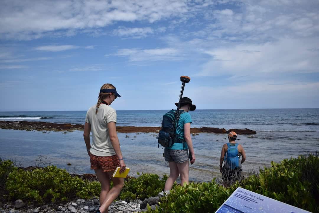
3. Erosion and Environmental Impact Studies
Sites near bodies of water or on unstable ground need to be monitored for erosion. For example, a First Nations heritage site on Vancouver Island is tracked yearly to make sure it isn’t being lost to rising tides.
With RTK, archaeologists (and even non-surveyors) can accurately measure ground loss year over year—something tape measures or even basic GPS can’t provide with consistency.
4. Artifact Mapping and Digital Models
Using RTK coordinates, archaeologists can geotag artifact finds and layer them into GIS systems or 3D modeling software. This allows teams to reconstruct entire dig sites digitally—down to the centimeter.
This capability opens doors for:
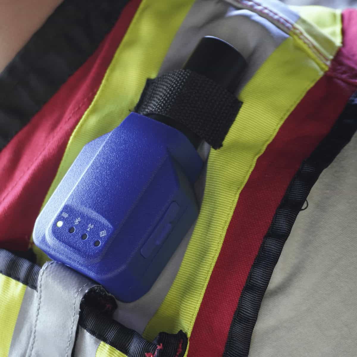
One of the traditional barriers to using RTK GNSS technology in archaeology was that it felt like a surveyor’s tool. But today’s systems are designed to be used by anyone—no survey degree required.
Systems like the Nano 7 by GeoMeasure, which includes FieldGenius software, are built with simplicity in mind:
That means field techs, students, and archaeologists themselves can learn and operate the system efficiently without needing a dedicated surveyor on site. Here at Bench-Mark we also offer free training and a comprehensive training library. This includes PDF guides and videos, so that if anyone new ever joins your team, they can get up to speed with the equipment before even setting foot on site. You can check it out here: Survey-Assistant.com!
Let’s summarize why RTK is becoming a must-have tool in archaeological fieldwork:
1. Centimeter-Level Precision – Allows surgical excavation, accurate documentation, and future revisits without guesswork.
2. Minimal Site Disturbance – With precise positioning, teams only disturb exactly what’s needed—preserving the rest of the site intact.
3. Long-Term Monitoring- Supports erosion tracking, site stability studies, and longitudinal research.
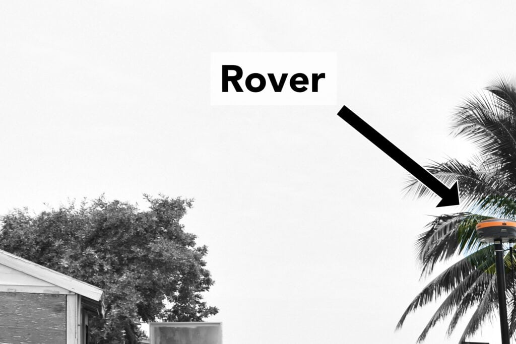
4. Speed and Mobility- No complex setup, no tripod fiddling—just grab the rover and go.
5. Cost-Effectiveness Over Time – While an upfront investment, RTK units quickly pay off through efficiency and accuracy gains. Plus, models like the Nano 7 are designed with tight budgets in mind.
If you’re an archaeologist looking to step into RTK, here’s what you need:
Choosing a model designed for archaeological workflows—like the Nano 7—is a smart move. It’s built with rugged field conditions in mind and doesn’t require a steep learning curve.
While RTK GNSS offers significant advantages in archaeological fieldwork, it’s not without challenges. One of the main barriers is cost—although prices have dropped in recent years, setting up a complete RTK system still requires an upfront investment in both hardware and software. For smaller teams or projects with tight budgets, this can be a hurdle.
Another consideration is the technical learning curve. Despite becoming more user-friendly, RTK systems still demand a basic understanding of GNSS concepts, data workflows, and hardware setup. In remote or rugged locations, maintaining a stable connection between the base and rover can also be difficult due to signal interference or environmental obstacles. Additionally, reliance on correction data—whether from a local base station or a network—means that RTK isn’t always plug-and-play in every field condition, particularly in areas with poor satellite visibility or limited infrastructure.
Archaeology is about revealing the past without erasing it. Every time a trowel hits the soil, something old is brought into the present. But preserving that story requires more than care—it requires precision.
RTK GNSS technology is giving archaeologists the tools to work faster, dig smarter, and preserve better. Whether you’re monitoring sea-level threats, mapping a historic village, or revisiting a site after 20 years, centimeter-level accuracy gives you control over the past like never before.
If you’re serious about preserving heritage and maximizing the impact of your research, it’s time to make RTK part of your toolkit.
RTK GNSS allows archaeologists to record the exact location of artifacts with centimeter-level accuracy. This precision ensures each find is documented in its true context—critical for interpretation, digital reconstructions, and future research.
Yes. RTK makes it possible to return to the exact same grid points or trenches years—even decades—later. This consistency is vital for phased excavations, comparative studies, and verifying earlier finds without re-surveying the site.
Absolutely. RTK’s pinpoint accuracy minimizes unnecessary digging, reducing impact on fragile sites. It’s also mobile and fast to deploy, making it ideal for rugged or time-sensitive conditions where setup needs to be quick and non-invasive.
RTK GNSS is especially valuable for grid layout, precise excavation, erosion monitoring, and geotagging finds for GIS integration or 3D modeling. It streamlines everything from digging a trench to creating a virtual replica of the site.
Not anymore. Modern RTK systems like the GeoMeasure Nano 7 are built for ease of use, with intuitive interfaces and training resources. Field techs, students, and archaeologists can learn to operate them effectively without formal surveyor training.
GNSS technology provides centimeter-level accuracy by using multiple satellite constellations and correction data in real time. Thus, excavation grids, artifact locations, and site boundaries are recorded with a level of detail impossible with traditional GPS or tape-based methods. The ability to precisely return to previously surveyed points also supports long-term research and layered excavation.
Yes. RTK GNSS data can be exported directly into GIS platforms and 3D modeling software. This allows archaeologists to create high-resolution digital site maps, generate spatial layers of artifacts, and build accurate 3D reconstructions of excavation areas. This integration enhances analysis, collaboration, and public presentation.
Traditional GPS typically gives the level of accuracy, which is insufficient for stratigraphic mapping or precise artifact documentation. RTK GNSS, however, uses real-time correction signals to achieve sub-centimeter accuracy. This difference enables detailed excavation planning, minimal disturbance, and reliable revisiting of exact dig locations over time.
Bench Mark Equipment & Supplies is your team to trust with all your surveying equipment. We have been providing high-quality surveying equipment to land surveyors, engineers, construction, airborne and resource professionals since 2002. This helps establish ourselves as the go-to team in Calgary, Canada, and the USA. Plus, we provide a wide selection of equipment, including global navigation satellite systems, RTK GPS equipment, GNSS receivers, and more. We strive to provide the highest level of customer care and service for everyone. To speak to one of our team today, call us at +1 (888) 286-3204 or email us at [email protected]
