
Most surveyors know GPS equipment has replaced chains and tape measures, but figuring out which GPS unit actually fits your work isn’t straightforward. The terminology assumes you already know what separates a $3,000 handheld from a $15,000 rover system. This guide explains what different GPS units do, what accuracy they deliver, and which jobs they’re built for.
How Survey GPS Works
RTK GPS Systems
PPK GPS Units
Static GPS Receivers
SBAS Handheld Units
What Accuracy Means
Features That Actually Matter
Base and Rover Setup
GPS Units That Match Your Work
Survey GPS units calculate position by measuring signal travel time from satellites. The receiver tracks multiple satellites simultaneously, and the timing differences tell it where it sits on Earth. More satellites mean better geometry and more reliable solutions.
The term “GPS” is technically outdated for survey work. Modern receivers are GNSS units that track GPS, GLONASS, Galileo, and BeiDou satellites. This multi-constellation capability matters when you’re working around buildings, under tree canopy, or on steep slopes where part of the sky is blocked.
Consumer GPS and survey GPS use the same satellites but handle the data differently. Consumer units give you standalone positions accurate to several meters. Survey units apply differential corrections. They compare observations between two or more receivers, which eliminates most error sources and gets you down to centimeter-level accuracy.
RTK (Real-Time Kinematic) dominates professional surveying for a reason: it gives you centimeter coordinates immediately. An RTK system uses a base receiver on a known point that broadcasts corrections to one or more rovers in the field. The rover applies these corrections to its own satellite observations and calculates its precise position in real time.
RTK works for stakeout, topo surveys, boundary work, and construction layout where you need coordinates now, not after post-processing. The base and rover typically stay within 10-15 km of each other for reliable radio communication, though cellular RTK using NTRIP extends this range as far as your data coverage reaches.
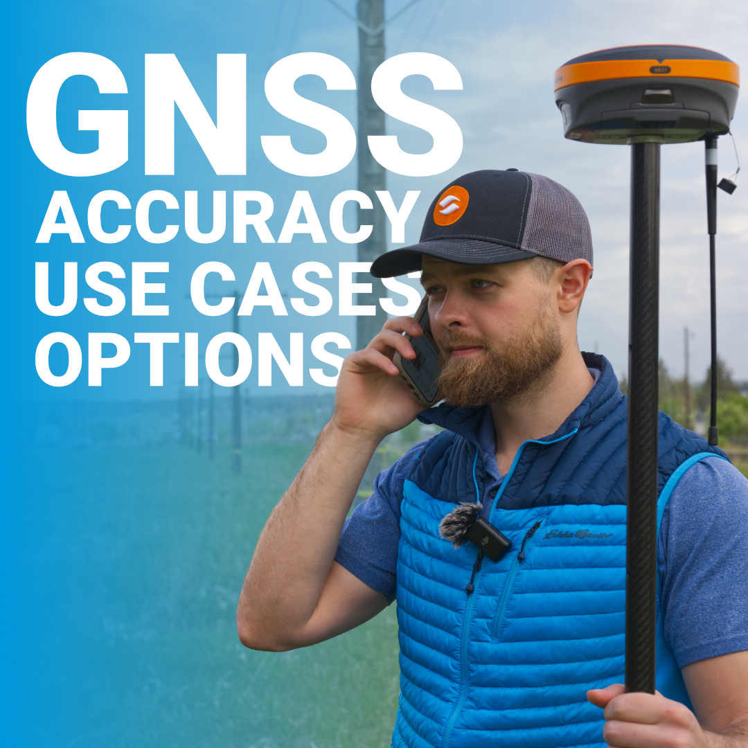
The Hemisphere S631 operates as an RTK rover and handles both UHF radio and cellular correction delivery. This flexibility matters when you’re moving between sites with different correction sources or when local terrain blocks radio signals.
PPK (Post-Processed Kinematic) units log raw satellite data during fieldwork and process it later with base station data. You get the same accuracy as RTK but without needing a live correction link while you’re in the field.
PPK makes sense when radio or cellular connections aren’t reliable, when you’re working in remote areas without network coverage, or when you want to eliminate the pressure of maintaining real-time fix throughout a survey. The downside is you won’t know if you have good data until you’re back in the office processing files.
Most modern receivers like the S631 support both RTK and PPK modes. You can run RTK when conditions allow it and fall back to PPK when you can’t maintain corrections.
Static GPS involves setting up receivers on survey points and letting them collect data for extended periods. Both receivers log simultaneously, then you post-process the observations to determine the vector between points.
Static delivers the highest GPS accuracy available, often sub-centimeter. Control networks, monumentation, and any project requiring millimeter precision use static methods. The limitation is time: you’re waiting for enough satellite observations to accumulate and for geometry to improve.
Static GPS is what you use when accuracy matters more than speed. It’s not practical for production surveying but remains the standard for establishing control points that everything else ties to.
SBAS (Satellite-Based Augmentation System) corrections come from satellites broadcasting free differential signals. In North America, that’s WAAS. These corrections improve standard GPS from 10-meter accuracy down to around 1 meter or better.
Handheld units using SBAS work for reconnaissance, GIS data collection, asset mapping, and preliminary surveys where meter-level accuracy meets requirements. They’re portable, simple to use, and require no base station or subscription service.
SBAS handhelds won’t replace survey-grade equipment for boundary work or layout, but they handle plenty of tasks where you’re marking general locations rather than establishing legal coordinates.
GPS accuracy specifications get thrown around without context. Here’s what different systems deliver in real-world conditions:
The accuracy you need determines your equipment choice. Legal surveys require RTK. Agricultural mapping works fine with L-band. Asset inventory can use SBAS depending on project specs.
Survey GPS marketing emphasizes dozens of features, but these are what affect field performance:
Rugged construction matters but most survey receivers meet IP67 or IP68 standards. They’re built to handle drops, weather, and vehicle transport. The bigger differences show up in signal tracking performance and how reliably units maintain RTK fix in challenging environments.
Professional GPS surveying typically uses a base-rover configuration. The base sits on a known point with clear sky view and tracks satellites continuously. It determines its own position through averaging or uses manually entered coordinates if occupying existing control.
The base calculates corrections that account for atmospheric delays, orbital errors, and other positioning factors. It broadcasts these corrections via UHF radio or cellular connection to the rover, which applies them to its own observations for differential positioning.
Rover range depends on communication method. UHF radio works reliably to 5-10 km depending on terrain and antenna placement. Cellular RTK using NTRIP eliminates distance limits but requires data coverage. When you’re working beyond radio range or across multiple sites, cellular corrections or L-band services make more practical sense than hauling a base station around.
GPS units only deliver rated accuracy when properly deployed. Base station location determines system performance. Pick open sites with clear sky view, avoid metal structures that cause multipath, and maintain stable antenna height throughout sessions.
Rover technique impacts results. Allow RTK initialization time before starting surveys, verify system performance by checking known control points, and monitor fix quality indicators. Repeated loss of fixed solution means something needs attention: site conditions, equipment setup, or correction delivery.
Software configuration requires care. Antenna heights must be measured and entered correctly. Coordinate system settings must match project requirements. Geoid models for elevation work need verification. Setup errors discovered in the office cost significantly more than taking time to configure properly in the field.At Bench-Mark, we help match GPS survey equipment to actual project needs and field conditions. If you need RTK for daily stakeout, PPK for remote work, or guidance on which receiver specs actually affect performance, our team can help you make the right equipment decision.
