
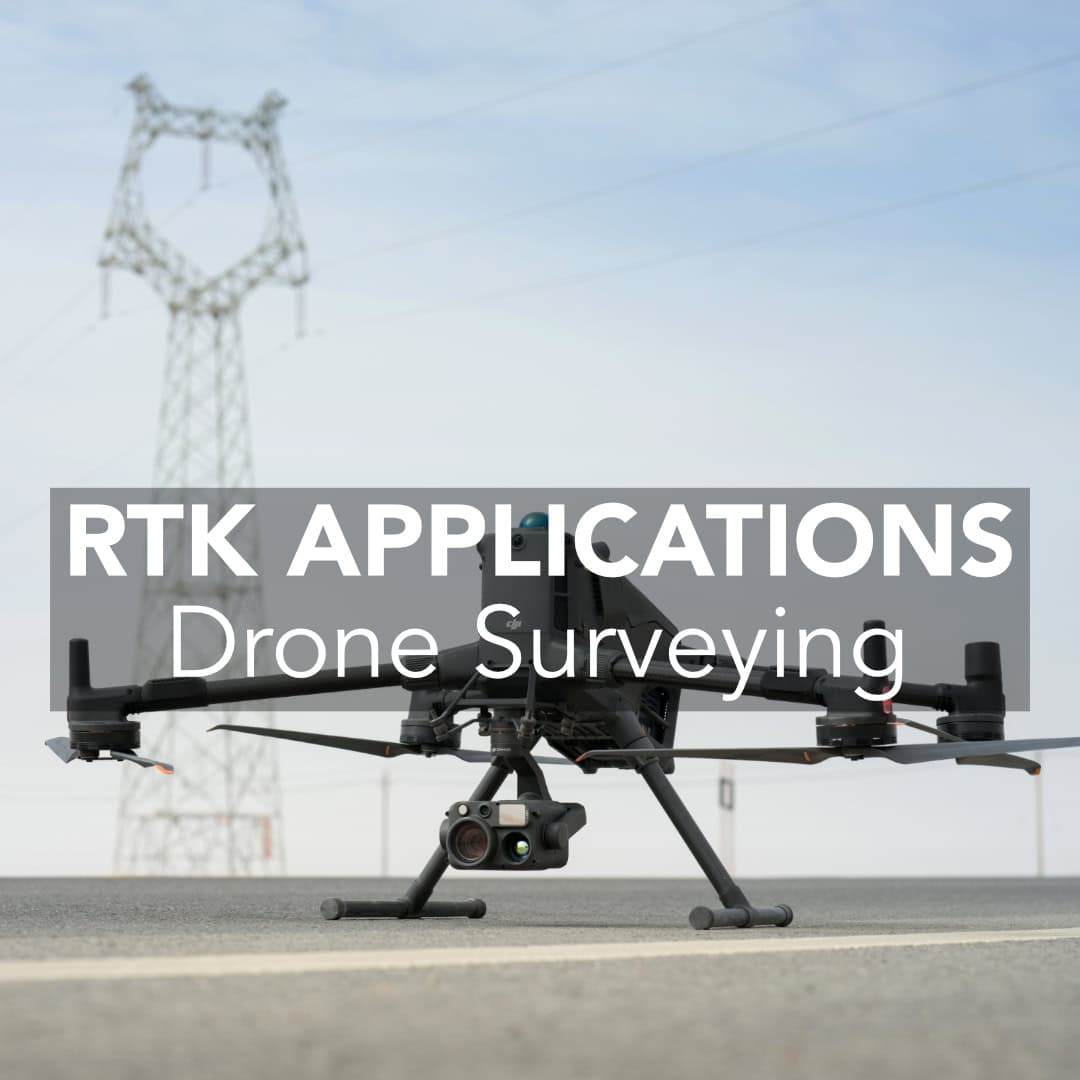
Drones with integrated RTK modules are changing how professionals approach surveying and construction site mapping. RTK drones are quite quickly becoming the best option for collecting precise data. They offer faster and safer options than ever before. In this post, we’ll break down where drone RTK truly outperforms compared to traditional workflows.
What Is RTK Drone Mapping?
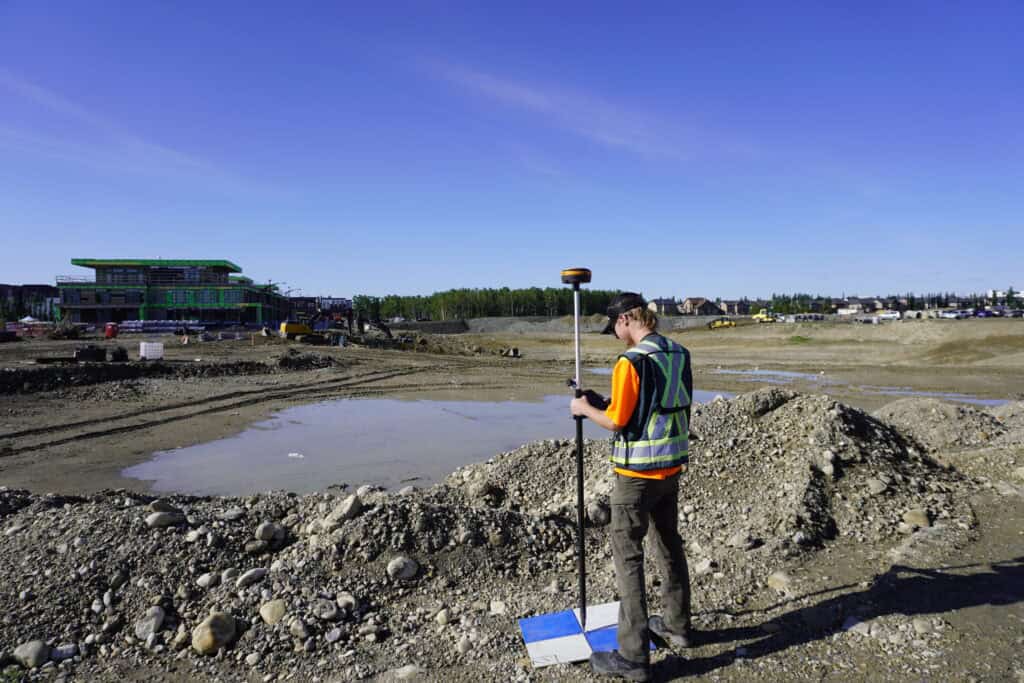
The Traditional Method: Ground Control Points
Where RTK Drones Outpace
When Traditional Methods Still Matter
What You Need for Drone RTK Mapping
Is RTK Drone Mapping Worth It?
Frequently Asked Questions
RTK drone mapping includes aerial photogrammetry and real-time GNSS corrections. It does not act like a standard drone. Instead, an RTK drone receives corrections from a base station while flying. This process improves positioning accuracy, It brings it down to the centimeter level without the need for many ground control points (GCPs).
Before RTK drones became widely available, accurate drone mapping required setting up ground control points manually. Here is how it’s done:
GCPs undeniably work, but this process is rather time-consuming. It is especially not convenient on active construction sites or large, open parcels. For small teams or remote locations, it’s not always realistic.
1. Speed
Most projects may not even need GCPs at all if they drone is properly configured. Here are the benefits drones bring:
A typical RTK drone flight can map 100 acres in under 30 minutes with data accurate to within 2-3 cm. This is more than enough for volume calculations, topographic maps, and progress tracking.
2. Improved Safety on Active Sites
With an RTK drone, you don’t need to spend time on foot, which means less risk. In construction, especially near machinery or steep terrain, sending an RTK drone over the site is much safer. Teams can launch the drone from a safe distance, collect data, and get back to work.
3. Real-Time Results
Your data is aligned and ready to go once the flight ends because RTK drones process corrections during flight. You can upload to the post-processing platform, generate orthophotos and digital surface models, and share with stakeholders the same day. Its benefits everyone on the workload:
There are cases when RTK drones cannot be a versatile variant. Total stations and static GNSS are still critical for:
RTK drones complement these tools and don’t have enough function to replace them. But if you’re still using non-RTK drones with GCPs for everything, it’s time to consider upgrading.
To efficiently use an RTK drone you have to refine your workflow a bit. Here is what you can refer to if you seek a good RTK drone setup:
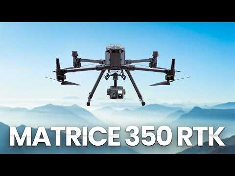
We also recommend reviewing our DJI Drone Systems if you’re exploring popular hardware options in the USA that are RTK-capable.
If your team is still spending lots of time placing GCPs or waiting days for post-processing, drone RTK may seriously change how you all are used to work. It lets you:
This technology is not that expensive nowadays. With tools like our GeoMeasure Nano 7 and the Hemisphere S631, it’s easier than ever to build a professional RTK workflow that is aligned with your targets.
Typically within 2-3 cm horizontally and vertically, assuming proper setup and GNSS base connection.
Technically yes, using PPK workflows or VRS networks. But for real-time data and consistency, we recommend a base station like the S631.
Yes, Drone RTK is legal in the U.S., but operators must follow FAA regulations. For most surveying applications, this requires Part 107 certification and compliance with airspace restrictions.
In many cases, yes. For ultra-precise jobs or regulatory documentation, adding a few GCPs can help. But most workflows don’t require them.
Place your base on a stable point with clear sky view, then connect it to your RTK drone via radio or network. Use known or averaged coordinates and save them for consistent results across flights.
