
If you’re getting into RTK (Real-Time Kinematic) positioning, you may have heard about RTK networks or NTRIP networks and how they can make setups faster for surveyors, construction professionals, landscapers, and more. But how do RTK networks work, and how do you choose the right one for your needs?
In this guide, we’ll break down the different RTK network options available in Canada and the United States, their limitations, and when it’s better to use a network rover versus a base rover setup. By the end, you’ll have a clear understanding of how to get the best RTK corrections for your GPS work. Check out the video below on everything you need to know:
When Should You Use an RTK Network vs. a Base Rover?
Satellite Constellation Compatibility
RTK Networks in the United States
Setting Up Your Own RTK Network with StormCaster
How to Choose the Right RTK Network
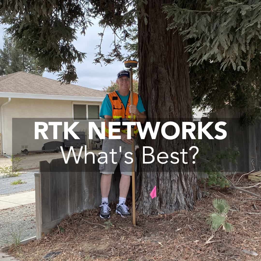
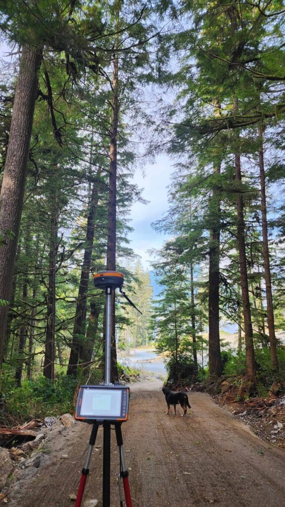
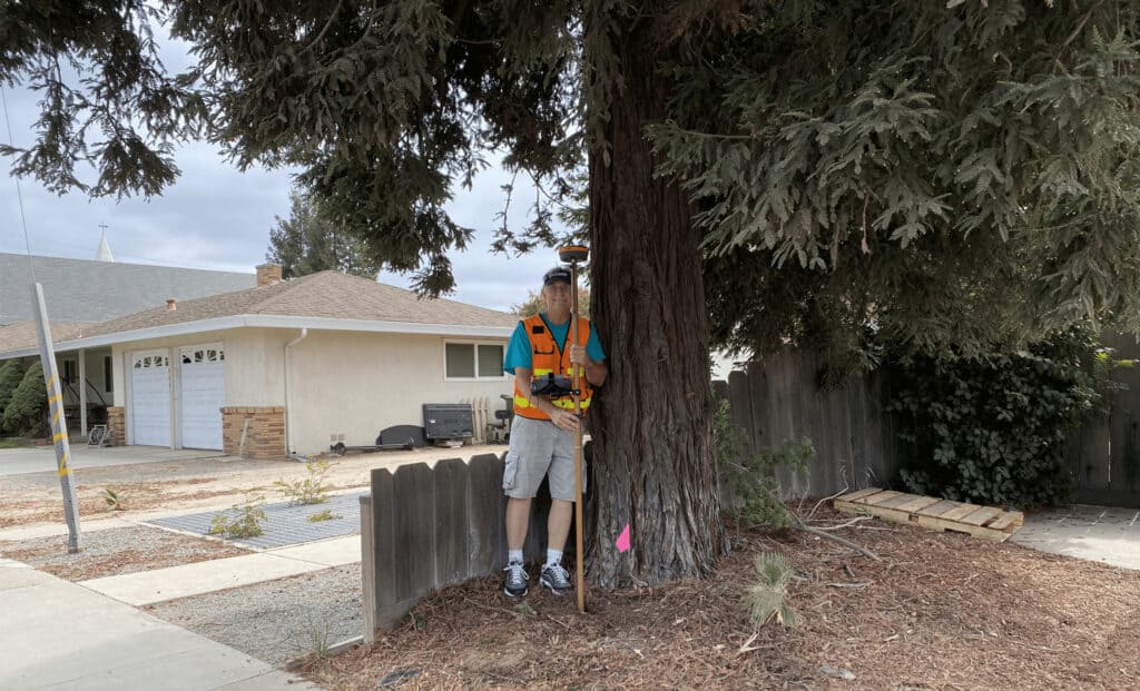
Network Rover – RTK Network
There are several scenarios where a network rover makes more sense than a base and rover. An RTK network allows you to connect your GPS rover to a shared correction service rather than setting up your own base station. You should consider using a network if:

If any of these factors do not meet your needs, you may want to invest in a base and rover setup instead. There are a lot of reasons to choose a base station, and we have an article on many of the things you should consider, check it out here: What is the point of an RTK Base Station? For example, if the mount points that make up your network (fixed base stations) are too far from your project, you could experience poor accuracy. Let’s now dive into some key limitations of RTK networks so you can make an informed decision.
Distance to Mount Points
One of the big drawbacks of using an RTK rover is your reliance on the network setup and deployment. As you have no control over base station placement, you have no control over your baseline distance. RTK precision is defined as 8 mm +/- 1 ppm. This translates to for every 1 km from the base station, you can add ~1 mm of uncertainty to the RTK solution (for every mile you will add 0.06 inches of uncertainty). We actually put this to the test in this video:
There are a variety of different factors that can influence this error, but it is a good guideline to keep in the back of your head. With a base and rover, you have total control over where you set it up and can therefore control your baseline, helping you improve accuracy in the field.
Satellite Constellation Compatibility
One of the most important factors to consider when looking to see if a network is the best option for you is whether or not it supports all available satellite constellations. Although many networks are now being upgraded, many still rely on older 5th generation RTK technology. As a result, they may only broadcast L1/L2 GPS GLONASS corrections. Now, this is more than sufficient in open fields, however, if you plan to work in any places with trees or buildings, this will not be good enough. If you have a receiver like the 7th generation Hemisphere S631, which can all modern constellations including; GPS, GLONASS, Galileo, BeiDou, but the network only supports GPS and GLONASS, your rover will only be able to use GPS and GLONASS and thus be limited by the network. This is because in a base and rover setup, the rover can only use signals and constellations provided in the base corrections. You can learn more here: What is RTK and How Does it Work? Real-Time Kinematic: Beginner Explainer.
Subscription Costs
One of the last things to consider before committing to a network rover setup is that many RTK networks require paid subscriptions. Costs vary, but an annual subscription typically costs around $3,000 per account. If you have multiple receivers, it may be more cost-effective to set up your own base station.
Canada relies primarily on three paid RTK networks:
The U.S. has more options, including many free state-run RTK networks (often called Continuously Operating Reference System (CORS) networks). Here’s a breakdown:
Free Public CORS Networks
Some U.S. states provide free (or very inexpensive) RTK access through CORS (Continuously Operating Reference Stations). Many of the public networks are focused on the East Coast, but there are a couple throughout the rest of the network. Here are all the options I found below:
Conneticut: ACORN (Probably also has my favourite logo and name of the bunch).
Massachusetts and Rhode Island: MaCORS
Paid RTK Networks
For states without free RTK networks, you can still get access to RTK corrections over the internet, you just require a paid subscription. Some of the ones you can look into are:
If you work with multiple RTK rovers or need better reliability, setting up a private RTK network may be the best option. StormCaster (developed by Benchmark) lets you broadcast RTK corrections via the internet rather than relying on traditional UHF radios.
With your own network:
If you’re still unsure about which network to use, follow these steps:
1. Check Your Equipment Compatibility – Ensure the network you plan to use is capable of broadcasting an RTCM based correction, and the ability to use GPS and GLONASS (anything extra is better). Hemisphere and GeoMeasure receivers work on most networks.
2. Verify Network Coverage – Use network coverage maps or call the provider to confirm your work area is supported. If you are outside the working area, you will be unable to get centimeter level accuracy.
3. Compare Cost vs. Performance – Networks are budget-friendly and a great way to get started with RTK equipment. However, they may lack the latest constellations. You have to weigh whether the initial lesser startup costs are worth more to you than the long-term savings found with a base and rover setup.
4. Consider a Private RTK Network – If you have multiple receivers or poor network coverage, setting up your own RTK base station with StormCaster may be the best solution.
If you have strong network coverage, an RTK network rover may be the best option for you. If you work in rural areas or have multiple rovers, consider setting up your own base station. If you’re unsure about which network is best for you, reach out for expert advice.
An RTK (Real-Time Kinematic) network is a system that provides GPS correction data to improve positioning accuracy. It consists of fixed base stations that transmit corrections to RTK rovers via the internet using NTRIP (Networked Transport of RTCM via Internet Protocol). This allows surveyors and professionals to achieve centimeter-level accuracy without setting up a personal base station.
An RTK network is best when working in areas with strong network coverage, when you don’t have access to a secure location for a base station, or if your GPS rover is compatible with the network. However, if mount points (fixed base stations) are too far apart or coverage is weak, a base and rover setup may be a better choice.
RTK networks have some drawbacks, including reliance on network coverage, potential accuracy loss due to distance from mount points, limited support for newer satellite constellations, and ongoing subscription costs. Some networks may not support all GNSS signals, which can impact accuracy in challenging environments.
Yes, many U.S. states offer free RTK networks through CORS (Continuously Operating Reference Stations). These include ALCORS (Alabama), FPRN (Florida), NYSNet (New York), and many others. However, coverage and availability vary by state.
To select the best RTK network, check your equipment compatibility, verify network coverage in your work area, compare costs versus performance, and consider setting up a private RTK network if you have multiple receivers or need better reliability.
Bench Mark Equipment & Supplies is your team to trust with all your surveying equipment. We have been providing high-quality surveying equipment to land surveyors, engineers, construction, airborne and resource professionals since 2002. This helps establish ourselves as the go-to team in Calgary, Canada, and the USA. Plus, we provide a wide selection of equipment, including global navigation satellite systems, RTK GPS equipment, GNSS receivers, and more. We strive to provide the highest level of customer care and service for everyone. To speak to one of our team today, call us at +1 (888) 286-3204 or email us at [email protected]
