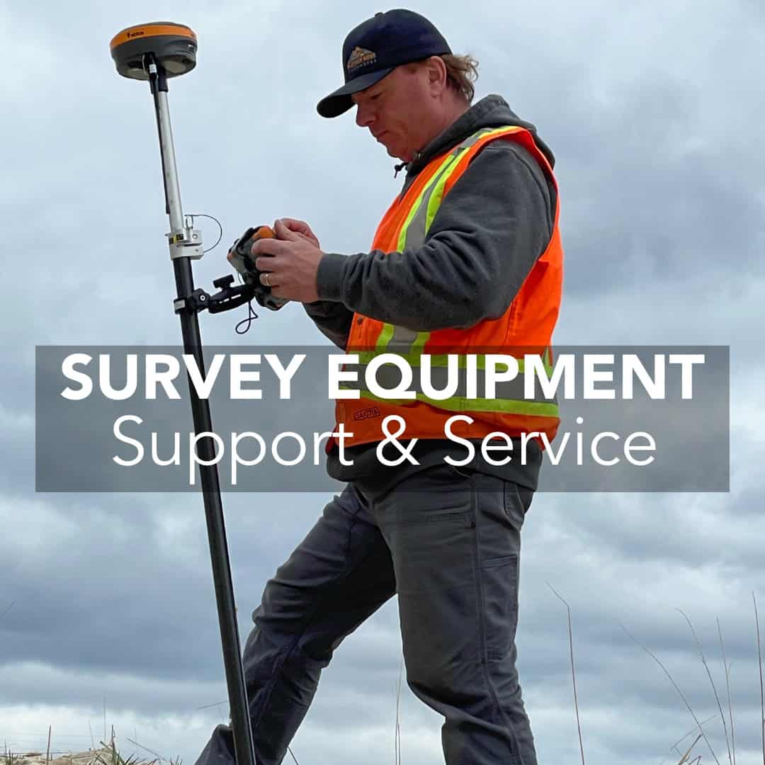
Why After-Sales Support Matters When Buying Survey Equipment
Buying GPS survey equipment is the responsible step that defines the following work. A GNSS receiver, total station, or data collector is the backbone of

Buying GPS survey equipment is the responsible step that defines the following work. A GNSS receiver, total station, or data collector is the backbone of
In surveying, construction, and engineering, two tools are often mistaken for one another: handheld GPS units and survey data collectors. Both deal with positioning, but
In just a few decades, GPS and GNSS technology have transformed land surveying from tape measures and theodolites to achieving centimeter-level accuracy. What once required

Surveying has been at the foundation of construction and civil engineering since ancient times. Yet despite advances in GNSS technology and total station hardware, many
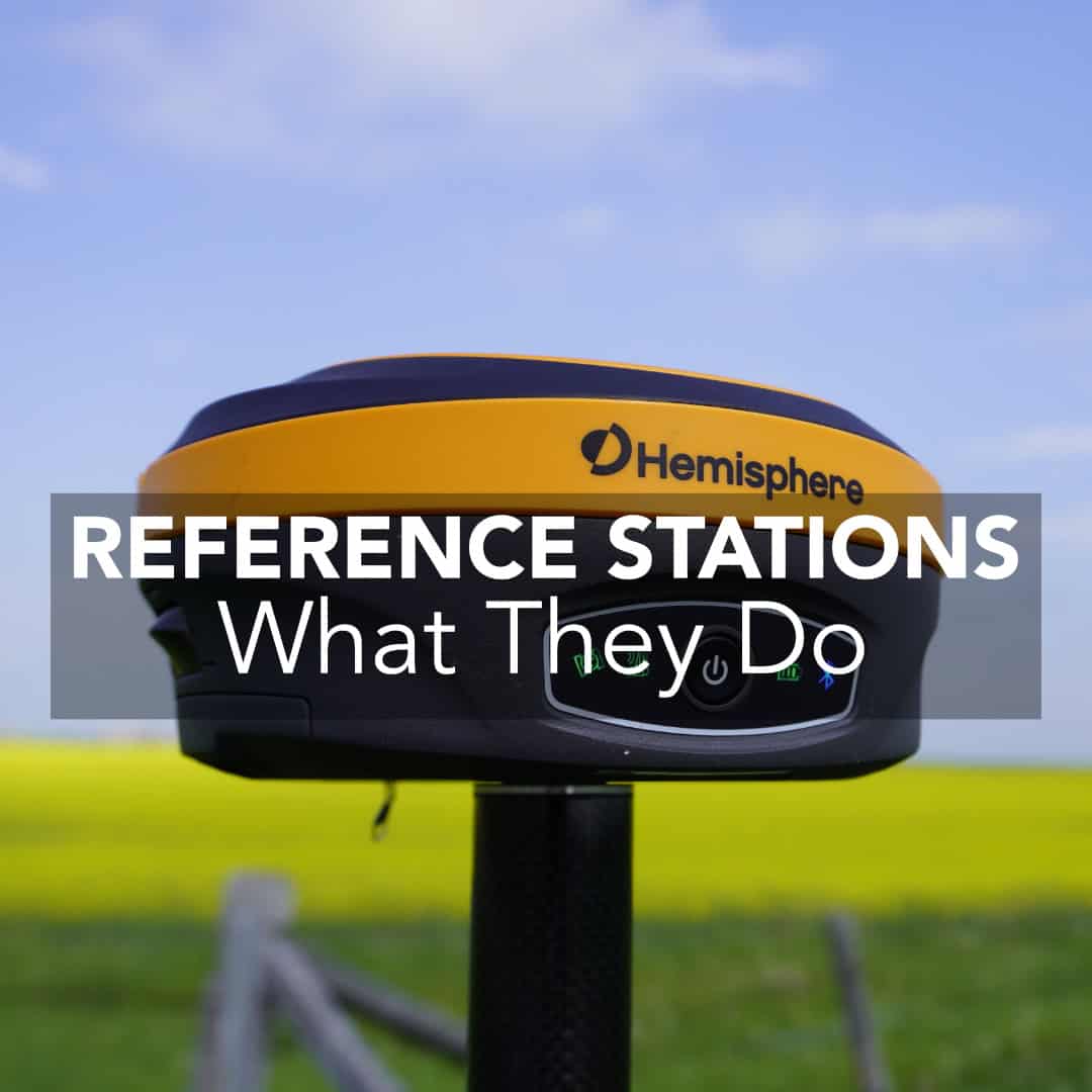
Surveyors, civil engineers, and construction crews across the U.S. rely on GNSS/GPS reference stations to deliver the precision required for roads, subdivisions, commercial developments, and
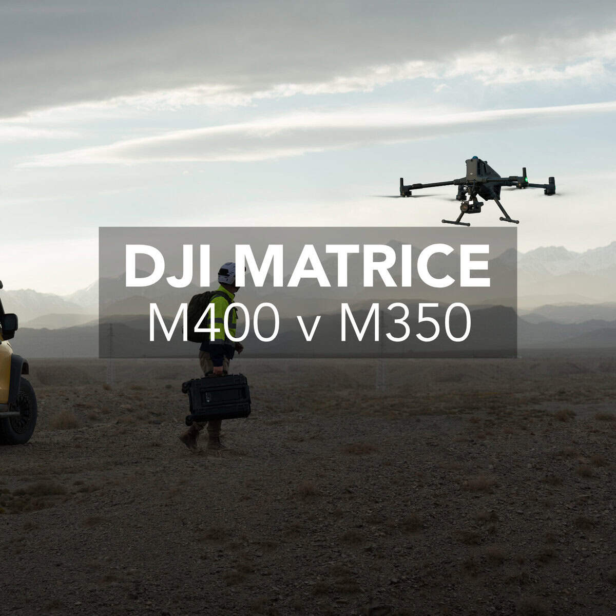
If you’re looking at upgrading your drone fleet for surveying, mapping, or inspection workflows, there’s a good chance the new DJI Matrice 400 RTK has
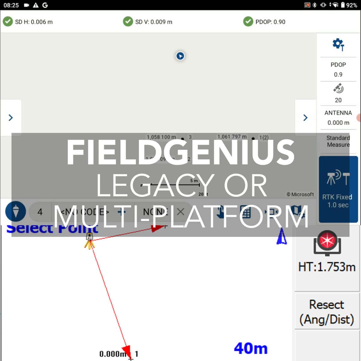
The software you choose plays a massive role in the daily efficiency of surveyors. In this article, we’ll break down the differences between MicroSurvey FieldGenius

Drones with integrated RTK modules are changing how professionals approach surveying and construction site mapping. RTK drones are quite quickly becoming the best option for
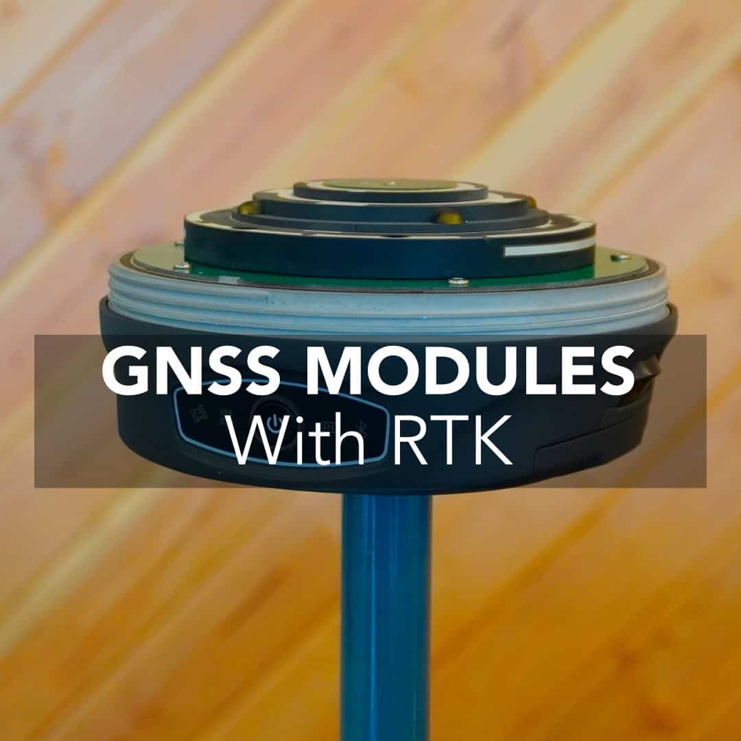
The GNSS module is the center of modern surveying transformation. The GNSS receiver module in your gear determines how fast and how accurately you get