EDM Surveying: Advantages and Limitations in the Field
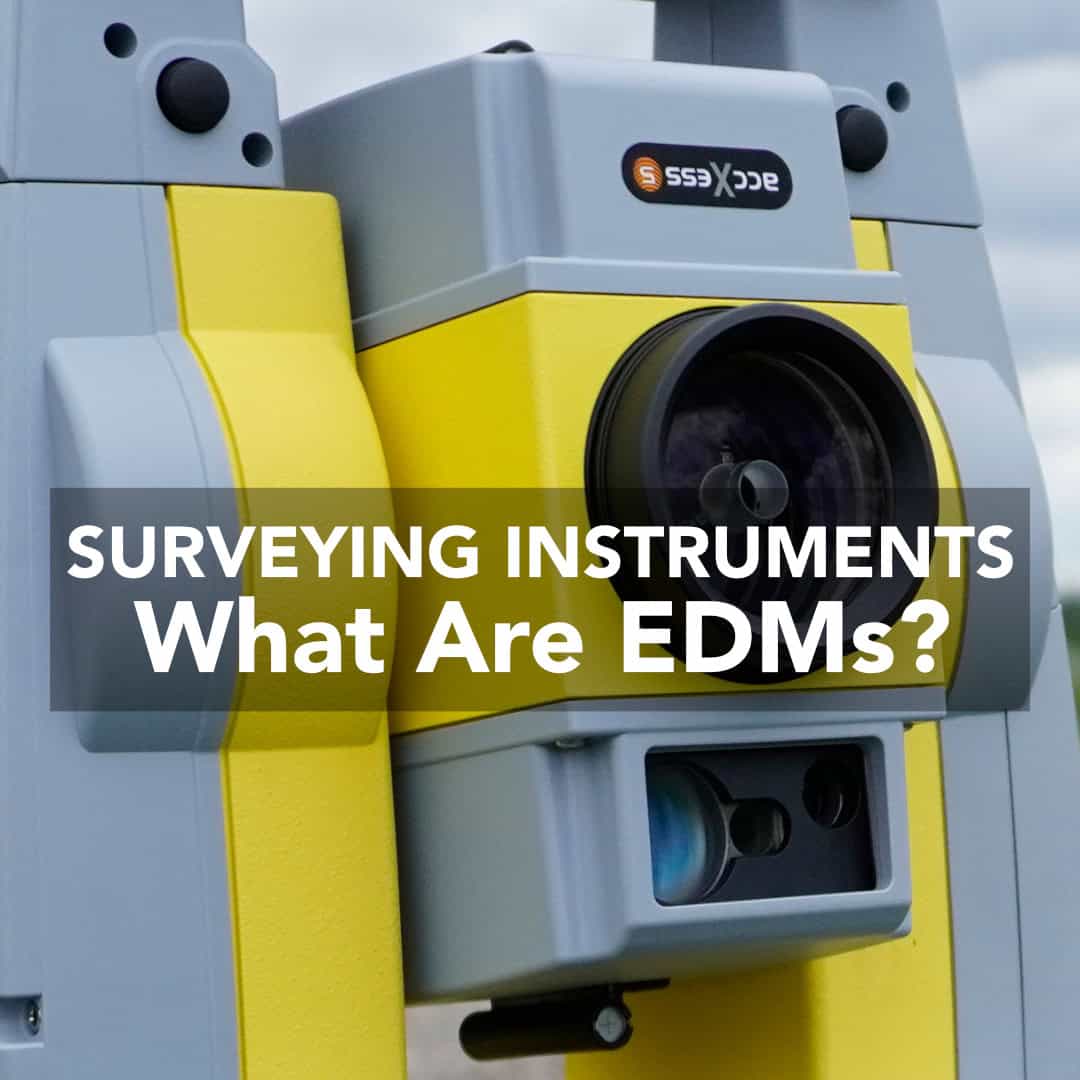
Electronic Distance Measurement (EDM) has become one of the most important tools in modern surveying. Before EDM, surveying instruments were widely available, and surveyors relied

Electronic Distance Measurement (EDM) has become one of the most important tools in modern surveying. Before EDM, surveying instruments were widely available, and surveyors relied
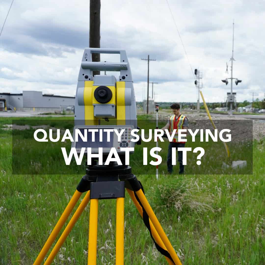
Quantity surveying is a critical part of keeping construction projects on track, within budget, and aligned with design and quality standards. Quantity surveyors work closely
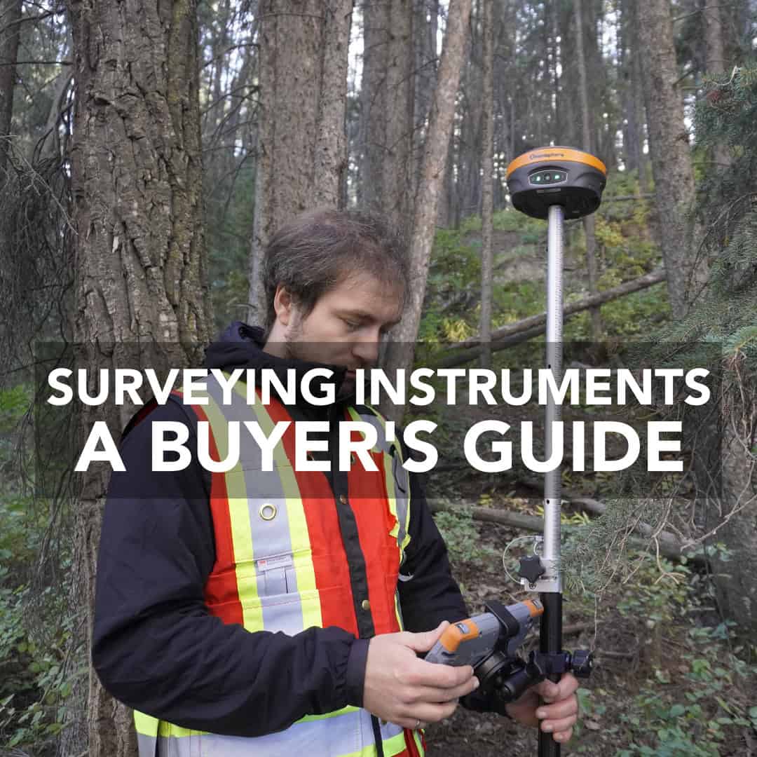
Selecting land surveying instruments is ultimately a business decision. These tools determine the accuracy of your deliverables, the efficiency of your crews, and the return
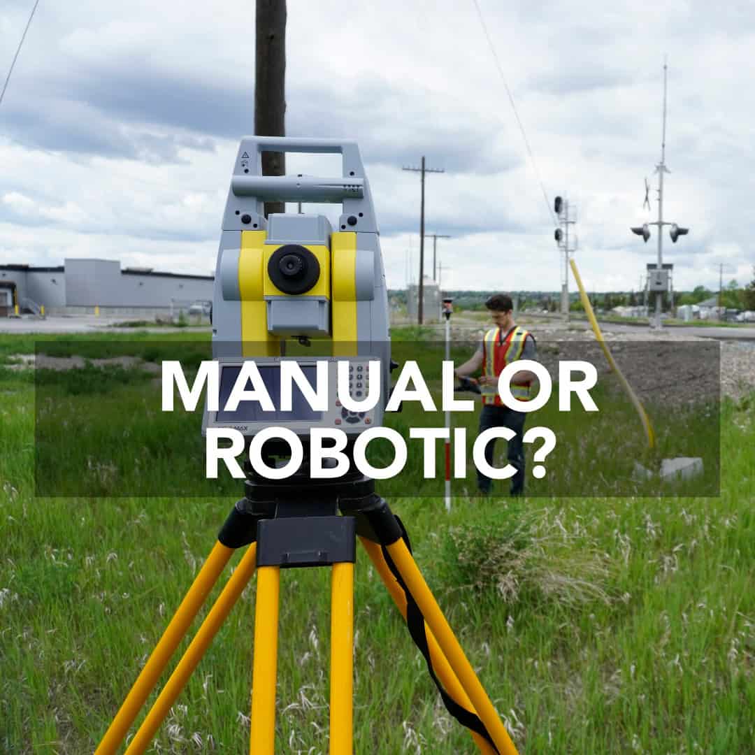
Total stations remain one of the most important instruments in surveying, construction, and engineering. When you’re laying out subdivisions, staking utilities, or conducting topographic surveys,
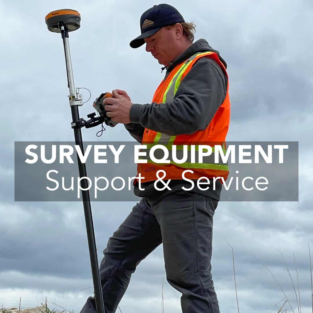
Buying survey equipment is the responsible step that defines the following work. A GNSS receiver, total station, or data collector is the backbone of your
In surveying, construction, and engineering, two tools are often mistaken for one another: handheld GPS units and survey data collectors. Both deal with positioning, but
In just a few decades, GPS and GNSS technology have transformed land surveying from tape measures and theodolites to achieving centimeter-level accuracy. What once required

Surveying has been at the foundation of construction and civil engineering since ancient times. Yet despite advances in GNSS technology and total station hardware, many
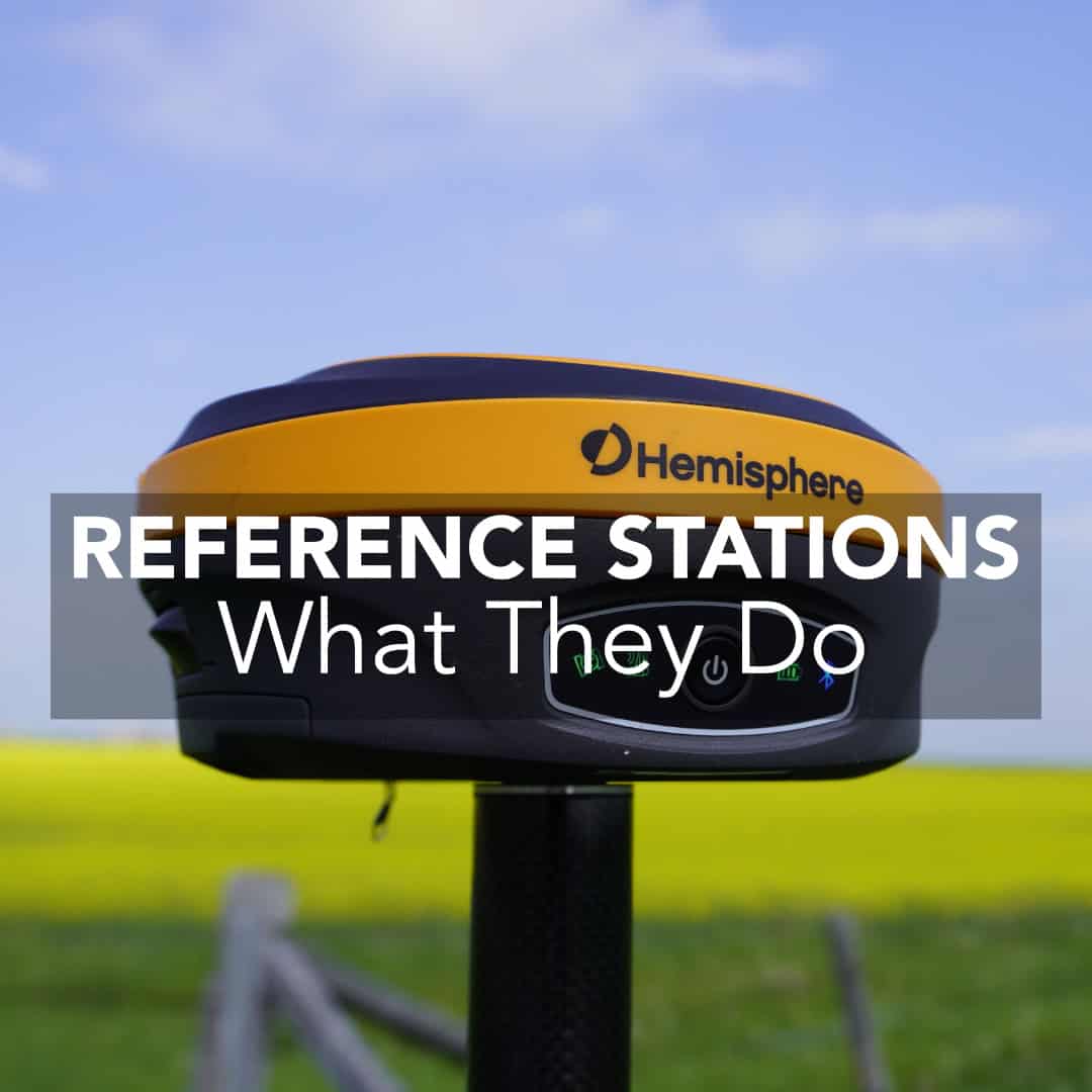
Surveyors, civil engineers, and construction crews across the U.S. rely on GNSS/GPS reference stations to deliver the precision required for roads, subdivisions, commercial developments, and