The wide world of RTK GPS includes many interesting and diverse applications. To learn about this interesting technology, how it works with GIS and how they benefit the agricultural sector, continue reading on down below!
Today, GPS technology in agriculture is used for much more than basic navigation. From field mapping and soil sampling to precision equipment guidance, GPS in farming helps farmers collect location-based information and use it to make more precise decisions. When GPS is combined with GIS, farmers can organize and analyze this information across an entire field.
The Global Positioning System (GPS) is an American constellation of satellites. Many Global Navigation Satellite Systems (GNSS) are referred to as GPS, but only the American system actually has that name. Other notable GNSS examples include GLONASS and BeiDou, the Russian and Chinese systems, respectively.
A Geographical Information System (GIS) is a system used for capturing, recording, storing and providing information about a particular geographical location. It can show many different types of data in one location, such as distance, topography, roads, population density and other relevant factors.
Precision agriculture is an approach to farming that uses location-based data, technology, and equipment to manage different areas of a field according to their specific conditions. Rather than treating an entire field as uniform, farmers can use information about soil, crops, terrain, and yield to make more targeted decisions.
GPS and agriculture work together by providing accurate location information, while GIS organizes that information into maps and layers that can be analyzed. Together, these technologies support precision farming applications such as field mapping, soil sampling, variable rate application, equipment guidance, and yield monitoring.
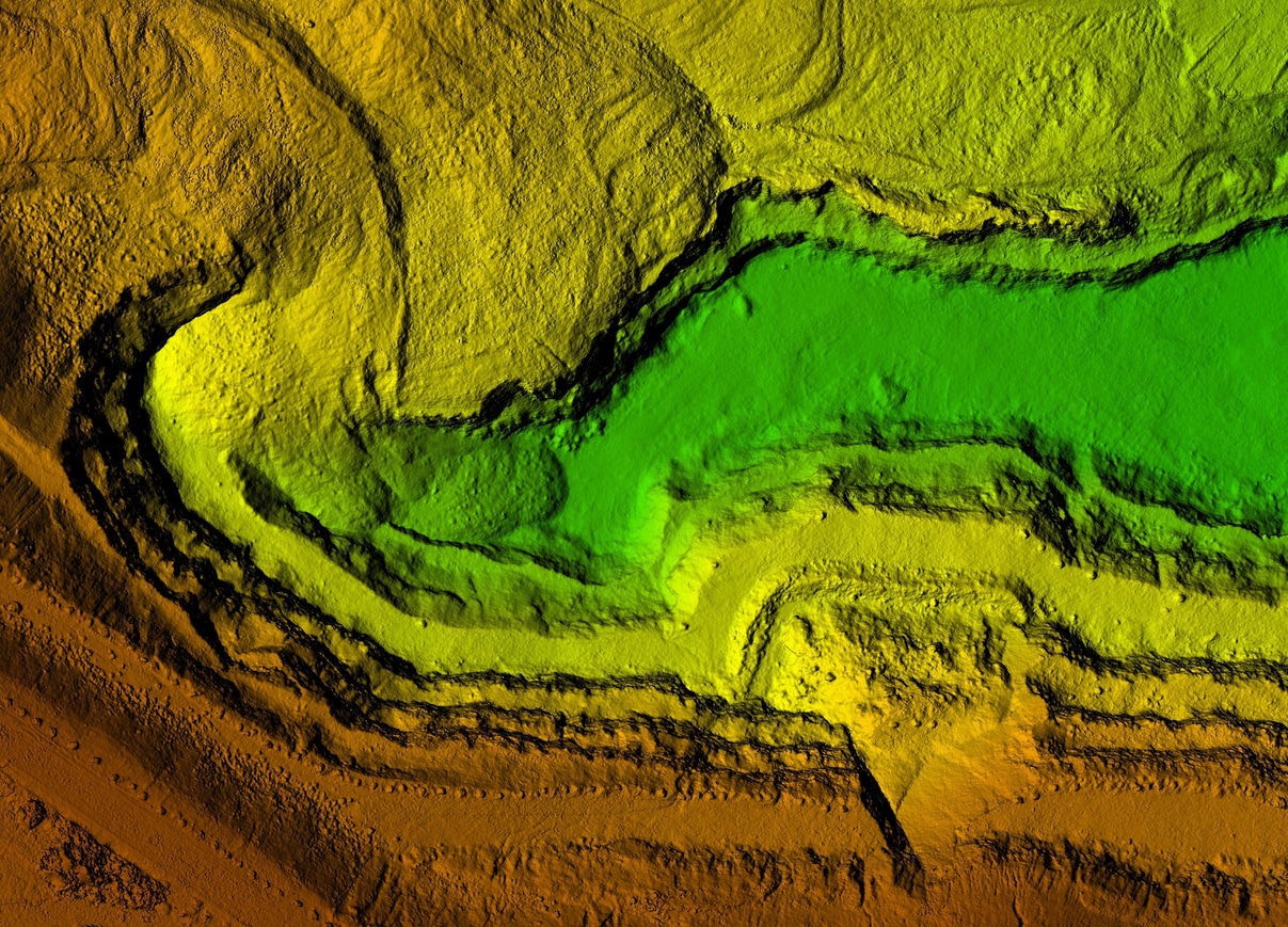
A combination of RTK GPS and GIS are used to provide contour mapping services to farmers. This information allows them to choose the best layout for planting their crops and prevents unfortunate accidents due to sudden changes in elevation or terrain.
A great way to utilize GPS is through crop dusting. Utilizing complex formulas to ensure an accurate and consistent spread of fertilizer or pesticide can help improve crop yield and overall plant health on a farm.
Soil sampling can be done in conjunction with a GIS to provide long-term trend data and planting information. Through many planting cycles, the necessary resources can be added to the land to ensure a consistent crop yield year over year.
Variable Rate Application (VRA) uses GPS-mapped field zones to adjust the amount of seed, fertilizer, water, or other inputs applied in different areas of a field. GIS data can identify differences in soil conditions, crop performance, or other field characteristics, while GPS helps equipment determine its location and apply the appropriate rate in each zone. This approach helps farmers use inputs more efficiently and make applications more targeted.
RTK-guided auto-steer and guidance systems use precise positioning to help tractors follow planned paths during planting, spraying, and other field operations. The high repeatability of RTK positioning helps reduce overlap between passes while allowing equipment to maintain consistent routes. These systems also reduce manual steering demands, which can improve efficiency and help limit operator fatigue during long field operations.
Yield monitoring uses GPS-tagged data collected during harvest to show how different areas of a field perform. As harvesting equipment moves through the field, yield information is associated with specific geographic locations. This data can then be layered into GIS to create yield maps, helping farmers identify high- and low-performing zones and compare yield patterns with soil or field characteristics.
The level of GPS accuracy needed in agriculture depends on the task. Standard GPS typically provides accuracy in the range of about 3–5 meters, while RTK can provide sub-inch positioning under suitable conditions.
For general field mapping and other applications where meter-level positioning is sufficient, standard GPS or less precise correction methods may be adequate. More demanding precision farming applications require higher accuracy. Auto-steer, for example, needs sub-inch repeatability to keep machinery accurately aligned with planned paths.
In simple terms:
Choosing the appropriate accuracy level depends on how precisely equipment needs to know its position and how repeatable the positioning needs to be from one field operation to the next.
GPS provides location information, while GIS is used to capture, store, organize, and analyze geographic information. In agriculture, GPS can identify the location of equipment, soil samples, yield data, or field boundaries, while GIS can combine that information into maps and other geographic datasets.
The required accuracy depends on the application. General field mapping can work with meter-level accuracy, while applications such as auto-steer and other precision farming equipment may require sub-inch repeatability. RTK GPS is used when highly precise positioning is needed.
An RTK setup generally requires a compatible GNSS/RTK receiver and a source of correction data. Depending on the system, corrections can come from a local base station or a subscription correction network. Additional equipment may be required to integrate the receiver with tractors, implements, or other agricultural machinery.
GIS data can help farmers identify differences in field conditions and compare information such as soil characteristics, yield data, and other geographic factors. This information can support more targeted decisions about planting and input application, but the effect on crop yields depends on the specific field conditions and how the information is used.
If you are looking for more information or your own RTK GPS equipment, consider contacting us today. We have the information, staff and support you need to achieve the highest level of accuracy with the best survey equipment available. We look forward to hearing from you!
Bench Mark Equipment & Supplies is your team to trust with all your surveying equipment. We have been providing high-quality surveying equipment to land surveyors, engineers, construction, airborne and resource professionals since 2002. This helps establish ourselves as the go-to team in Calgary, Canada, and the USA. Plus, we provide a wide selection of equipment, including global navigation satellite systems, RTK GPS equipment, GNSS receivers, and more. We strive to provide the highest level of customer care and service for everyone. To speak to one of our team today, call us at 403-286-0333 or email us [email protected]