

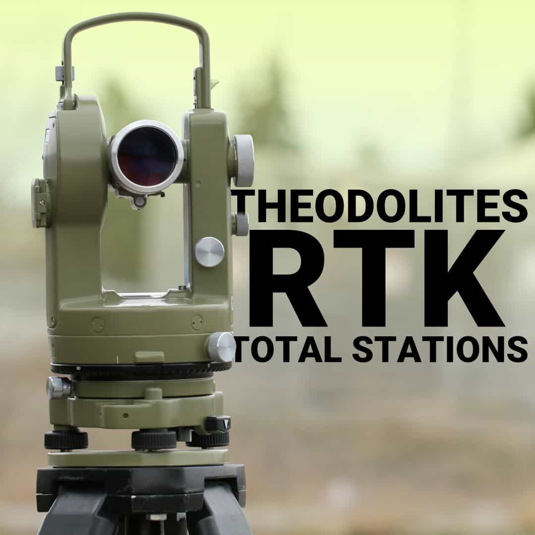
If you’ve been around surveying or construction long enough, you’ve probably heard the term surveying transit. The modern GNSS and RTK systems dominate most workflows today, but the transit surveying instrument still helps surveyors and builders understand layout, elevation, and alignment. So what is a transit in surveying, how does it actually work, and why does it still matter in a world of satellites and real-time corrections?
Understanding the Surveying Transit
Key Components of a Transit Surveying Instrument
How to Use a Transit for Surveying: The Setup Process
Taking Measurements with a Transit Level
Transit vs Modern Survey Equipment
Practical Applications in Modern Workflows
Maintaining Accuracy and Instrument Care
Making the Right Equipment Choice
A surveying transit is a telescope mounted on a rotating base with built-in spirit levels, all secured to a tripod. What sets it apart from simpler leveling instruments is its ability to measure both horizontal and vertical angles with precision. The telescope rotates a full 360° horizontally and can tilt vertically, typically 45° in either direction from level.
This dual-axis movement makes the transit instrument particularly valuable for tasks that require angle measurements in multiple planes. If you’re establishing property corners, setting out building foundations, or measuring slope angles, the transit handles these jobs through direct optical measurement rather than electronic calculation.
The precision of a quality transit comes from its graduated circles and vernier scales. These allow you to read angles down to minutes of arc. You get the accuracy needed for boundary surveys and construction layout, where small errors compound quickly.
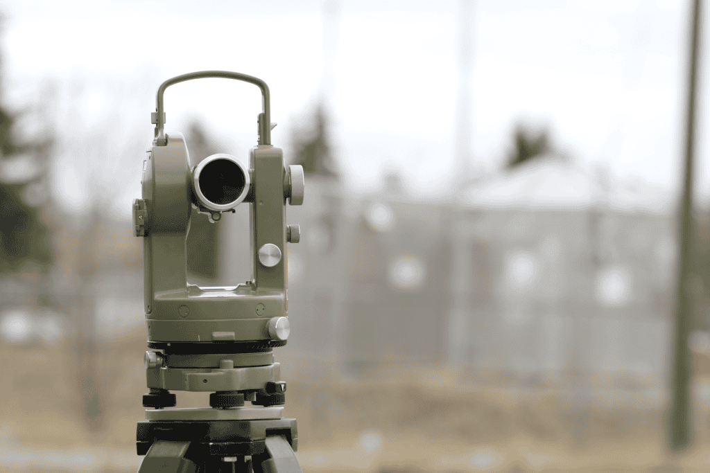
Optical System
Leveling System
Angle Measurement
Mounting
Each component works together to deliver consistent, repeatable measurements. The spirit levels confirm the instrument sits perfectly horizontal before you take readings. The graduated circles and verniers let you measure angles that would otherwise require complex calculations.
Proper setup determines whether your measurements will be reliable. Here’s the sequence that matters:
Place the telescope over two opposite leveling screws, center the bubble, then rotate 90° and repeat. Continue checking multiple positions until the bubble stays centered at every orientation. This is critical because any tilt in your base throws off every angle you measure.
Once level, focus the eyepiece on the crosshairs, then use the focusing knob to sharpen the target.
The transit excels at three core measurement tasks:
Set your horizontal circle to zero when sighting on your backsight point. Rotate to your foresight and read the angle directly from the graduated circle and vernier. This method works for laying out building corners, establishing lot boundaries, or any task requiring precise angular relationships.
Lock the horizontal position, then tilt the telescope to sight on your target point. The vertical circle shows the angle of inclination or declination. Works well for slope staking, checking grade lines, or determining height differences when direct leveling isn’t practical.
With the transit level and locked on target, your line of sight becomes a reference plane. A rod holder moves along this line while you direct them to the exact position. This technique works for setting batter boards, aligning formwork, or marking cut/fill elevations.
Use the same method for each measurement, lock all clamps before reading angles, and always check your level before starting a new setup.
The transit for surveying served as the standard for generations, but how does it compare to current options?
Today’s RTK GPS systems and robotic total stations handle most survey work faster and with less crew. However, transits still make sense for boundary retracement where you’re following old survey notes that reference transit measurements, for educational purposes, or as a backup instrument when electronic equipment fails in remote locations.
Some surveyors keep a transit in the truck for checking corners on small lots or when they need to turn a few angles without firing up the total station. It’s also valuable in areas with poor satellite coverage where GPS struggles.
The transit isn’t the primary instrument for most survey firms. But it still handles certain tasks efficiently.
For residential foundations, deck layouts, or small retaining walls, a transit provides adequate accuracy without the overhead of more complex systems. You can establish building corners, check square, and set grade stakes quickly.
Understanding transit operation teaches fundamental surveying principles that apply to all measurement instruments. Many surveying programs still include transit training as part of their curriculum.
When working in locations without reliable power for charging equipment, a transit provides angle measurements without worrying about battery life. This is particularly relevant in backcountry boundary surveys.
For straightforward grade verification, a transit delivers results without complex setup procedures. Contractors sometimes prefer this simplicity for quick field checks.
A well-maintained transit provides decades of reliable service:
Weather exposure won’t immediately damage a transit. But moisture can affect the spirit vials and graduated circles. After working in dusty or wet conditions, wipe down the instrument and let it dry fully before storing.
At Bench-Mark, we help surveyors and contractors match equipment to their actual field conditions and project requirements. The right tool depends on what you’re measuring, how often you measure it, and what level of automation benefits your workflow.
For occasional angle work, boundary retracement following old surveys, or situations where simplicity matters more than speed, a quality transit delivers. For production survey work, complex construction layout, or projects requiring data integration, modern total stations or GPS systems justify their higher cost.
