
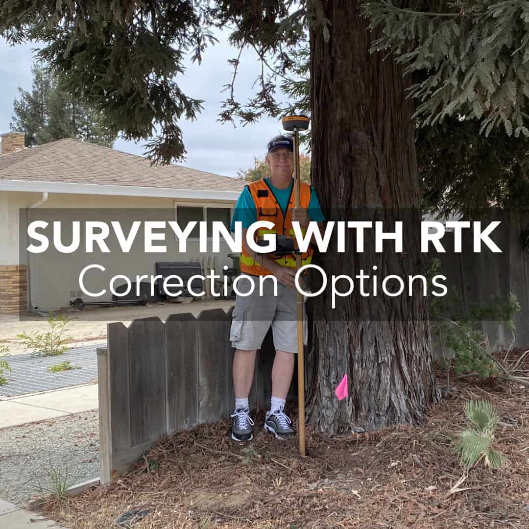
When you’re running an RTK survey, accuracy depends on a good receiver and something more. Corrections are those tiny bits of data that turn a basic GNSS position into a survey-grade coordinate. Without them, your rover might still give you a position, but it won’t be anywhere near millimetre accuracy. Let’s break it down in plain language, using the kind of examples that actually happen in the field.
What Are RTK Corrections?
The Three Main Correction Methods
Choosing the Right RTK Correction Method
Key Considerations When Setting Up RTK Corrections
From Corrections to Confidence
FAQs
RTK stands for Real-Time Kinematic, a technique that eliminates most GNSS errors by using data from a known base station to correct positions measured by your rover. Every satellite measurement contains small errors from the atmosphere, satellite clock, and orbit inaccuracies. The base knows its true location, so it can calculate those errors and send correction data to your rover.
When your rover receives these corrections through radio, internet, or a network service, it adjusts its raw measurements in real time. That’s how you get centimetre or even millimetre precision instead of a few metres of drift. In simple terms, the corrections tell your rover, “Here’s what reality actually looks like.”
RTK corrections can reach your rover in a few different ways. The three most common are UHF radio, NTRIP over the internet, and Network RTK from a commercial or government network. Each has its advantages and trade-offs.
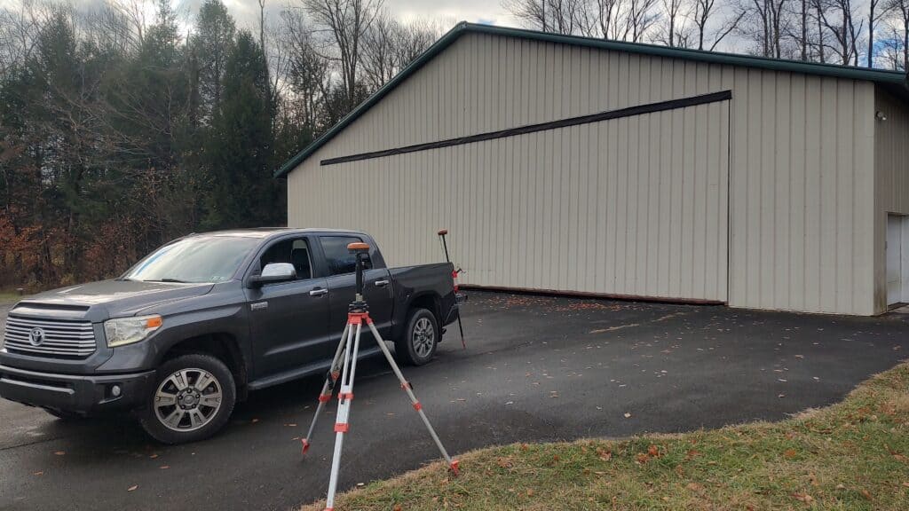
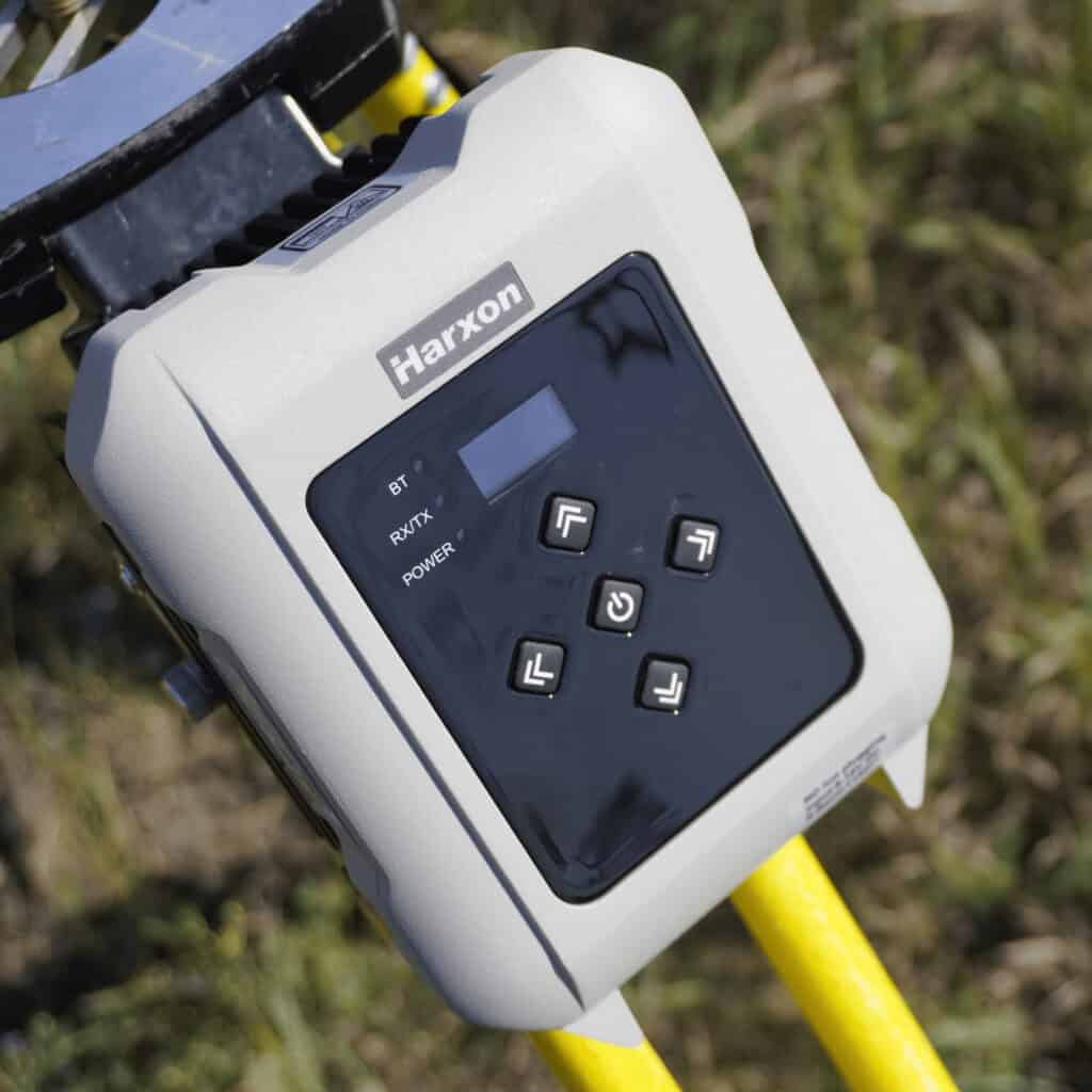
This is the traditional base-and-rover setup. Your base station transmits corrections via a UHF radio antenna directly to your rover. Because it doesn’t depend on the internet, it’s incredibly reliable in remote or rural areas.
UHF corrections are ideal when you’re surveying beyond cellular coverage or when you need a closed system that doesn’t rely on outside infrastructure. The range typically extends from a few hundred metres up to 10-15 kilometres, depending on terrain and antenna setup.
However, range and line of sight are critical. Hills, trees, or buildings can block the radio signal. You’ll also need to coordinate frequencies to avoid interference with nearby users.
NTRIP (Networked Transport of RTCM via Internet Protocol) uses a mobile data connection instead of radio. Your base sends corrections to a cloud server or caster, and your rover connects to that caster using cellular data.
The big advantage is simplicity. There’s no need for radio configuration or line-of-sight. If your rover has a SIM card or hotspot, you can receive corrections almost anywhere with coverage. Many modern receivers, such as the Hemisphere S631, support this setup natively.
The downside, of course, is that you need consistent mobile internet. In rural areas or deep valleys, connectivity drops can interrupt your RTK fix. Latency also matters because even a few seconds of delay can affect precision.
Network RTK is an extension of NTRIP, where you’re not limited to a single base station. Instead, you connect to a regional or national network that continuously merges data from multiple reference stations. The network computes a “virtual base” near your location and gives accurate, localised corrections without setting up your own base.
It’s convenient for surveyors who work across large areas or multiple sites. There’s no equipment to move, and no setup time. The trade-off is subscription cost and dependency on that network’s availability.
If you’re working in an area well covered by a reliable network, Network RTK can save a lot of time. But if you’re outside that coverage, you’ll still want the flexibility of your own base and rover system.
The correction method depends entirely on how and where you work. If you’re working in rural or isolated regions, UHF radio corrections are hard to beat. They keep you independent of mobile coverage and get you a constant data flow as long as the base is in range.
If you’re in urban or suburban areas with stable cellular service, NTRIP offers a simpler setup and fewer cables or radios to manage. It’s also easier for multiple rovers to share the same base corrections.
And if you’re moving between sites across a wide region, Network RTK offers the best convenience, as long as you’re comfortable relying on external infrastructure and subscription fees.
A few field-tested practices will save you frustration later:
These small habits often make the difference between a smooth RTK day and an afternoon spent troubleshooting.
RTK corrections might sound like a technical detail, but they define how reliable your entire survey will be. Surveyors who understand how each correction method behaves can choose the setup that fits their workflow.
At Bench-Mark, we know that the best configuration is the one that keeps your crew productive, not the one that sounds the most advanced. If you’re setting up your first base-and-rover kit or looking to integrate NTRIP corrections into your workflow, we can help you find the balance between speed, accuracy, and practicality.
UHF corrections transmit directly from your base to your rover via radio. NTRIP uses the internet to deliver the same data through a caster. UHF works offline, and NTRIP requires mobile data coverage.
Yes. Network RTK services calculate a virtual base station near your rover using data from multiple permanent reference stations. You only need your rover and a subscription to access the service.
When everything is configured correctly, all three methods can deliver similar precision. The difference lies in reliability.
Most modern receivers maintain a “float” solution for a short time, but accuracy decreases quickly. It’s best to stop and re-establish your RTK fix before continuing.
